7 Linscott Rd N York, ME 03909
York NeighborhoodEstimated Value: $703,277 - $893,000
3
Beds
2
Baths
1,946
Sq Ft
$400/Sq Ft
Est. Value
About This Home
This home is located at 7 Linscott Rd N, York, ME 03909 and is currently estimated at $778,069, approximately $399 per square foot. 7 Linscott Rd N is a home located in York County with nearby schools including Village Elementary School, Coastal Ridge Elementary School, and York Middle School.
Create a Home Valuation Report for This Property
The Home Valuation Report is an in-depth analysis detailing your home's value as well as a comparison with similar homes in the area
Home Values in the Area
Average Home Value in this Area
Tax History Compared to Growth
Tax History
| Year | Tax Paid | Tax Assessment Tax Assessment Total Assessment is a certain percentage of the fair market value that is determined by local assessors to be the total taxable value of land and additions on the property. | Land | Improvement |
|---|---|---|---|---|
| 2024 | $4,670 | $556,000 | $219,200 | $336,800 |
| 2023 | $4,320 | $511,200 | $162,300 | $348,900 |
| 2022 | $3,930 | $459,700 | $137,300 | $322,400 |
| 2021 | $4,100 | $412,100 | $139,800 | $272,300 |
| 2020 | $4,008 | $361,100 | $139,800 | $221,300 |
| 2019 | $3,874 | $347,400 | $128,100 | $219,300 |
| 2018 | $1,872 | $352,600 | $128,100 | $224,500 |
| 2017 | $3,688 | $336,800 | $128,100 | $208,700 |
| 2016 | $3,409 | $305,700 | $97,000 | $208,700 |
| 2015 | $3,319 | $301,700 | $97,000 | $204,700 |
| 2014 | $3,228 | $301,700 | $97,000 | $204,700 |
| 2013 | $3,197 | $306,500 | $97,000 | $209,500 |
Source: Public Records
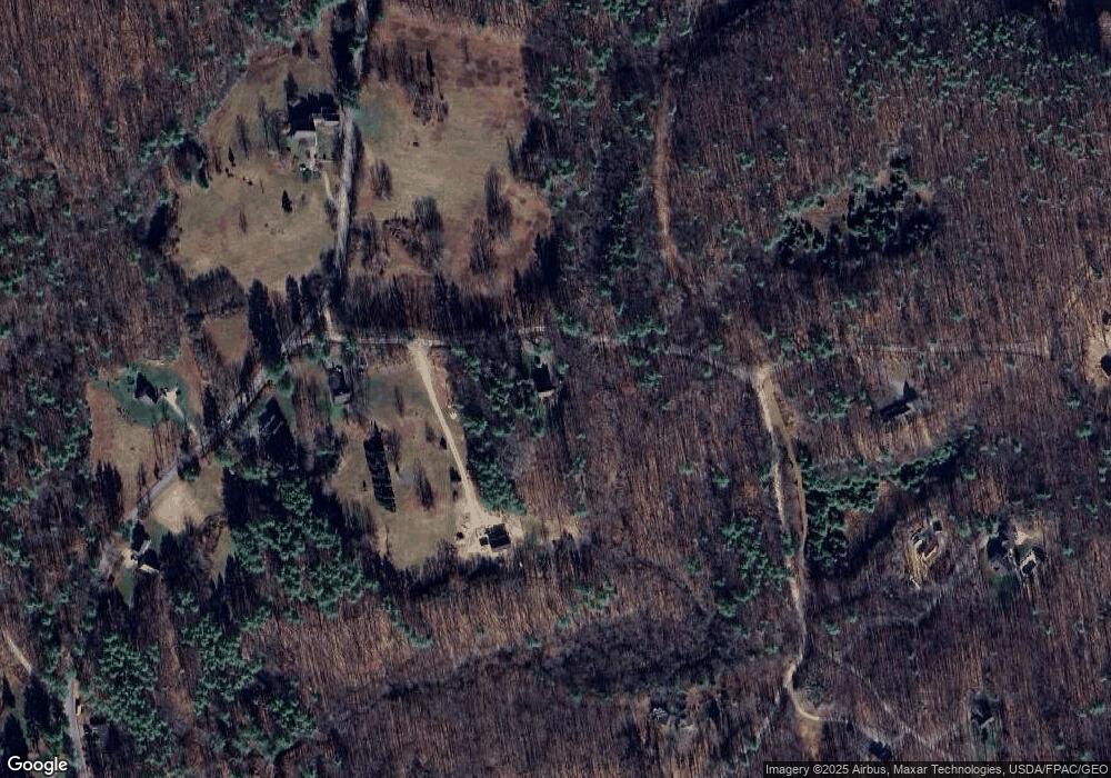
Map
Nearby Homes
- 4 Bhoireann Ln
- 3 Bhoireann Ln
- 68 Brixham Rd
- 3 Shaws Farm Ln Unit 1
- Lot 1 Brixham (Stonecrop Farm Lot 1) Rd
- Lot 4 Stonecrop Farm Ln
- 0 Lindsay Ln
- 76 Punkintown Rd
- 373 Brixham Rd
- 29 Carriage Hill Ln
- 12 Malcolm Rd
- 2 Lils Alley
- 52 Hooper Shores Rd
- 4 Fall Mill Rd
- 287 Goodwin Rd
- 0 Goodwin Rd Unit 1626810
- 5 Gowen Ln
- 49 Betty Welch Rd
- 51 Woodland Hills
- 22 High Knoll Dr