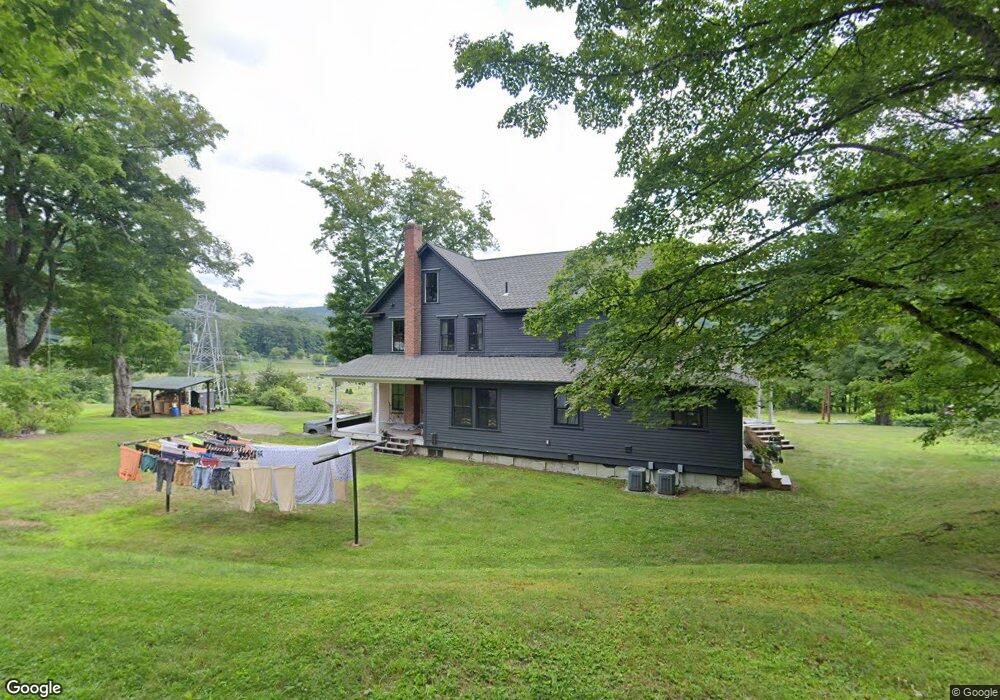
7 Lively Ln Colrain, MA 01340
Colrain NeighborhoodEstimated Value: $385,662 - $522,000
3
Beds
1
Bath
2,480
Sq Ft
$186/Sq Ft
Est. Value
About This Home
This home is located at 7 Lively Ln, Colrain, MA 01340 and is currently estimated at $461,166, approximately $185 per square foot. 7 Lively Ln is a home located in Franklin County with nearby schools including Mohawk Trail Regional High School.
Ownership History
Date
Name
Owned For
Owner Type
Purchase Details
Closed on
Jun 1, 1999
Sold by
Avery Thomas R
Bought by
Slowinski Laura R and Slowinski Joseph L
Current Estimated Value
Home Financials for this Owner
Home Financials are based on the most recent Mortgage that was taken out on this home.
Original Mortgage
$100,000
Interest Rate
6.82%
Mortgage Type
Purchase Money Mortgage
Create a Home Valuation Report for This Property
The Home Valuation Report is an in-depth analysis detailing your home's value as well as a comparison with similar homes in the area
Home Values in the Area
Average Home Value in this Area
Purchase History
| Date | Buyer | Sale Price | Title Company |
|---|---|---|---|
| Slowinski Laura R | $130,000 | -- |
Source: Public Records
Mortgage History
| Date | Status | Borrower | Loan Amount |
|---|---|---|---|
| Open | Slowinski Laura R | $132,200 | |
| Closed | Slowinski Laura R | $138,600 | |
| Closed | Slowinski Laura R | $100,000 | |
| Previous Owner | Slowinski Laura R | $78,000 |
Source: Public Records
Tax History
| Year | Tax Paid | Tax Assessment Tax Assessment Total Assessment is a certain percentage of the fair market value that is determined by local assessors to be the total taxable value of land and additions on the property. | Land | Improvement |
|---|---|---|---|---|
| 2025 | $6,356 | $348,100 | $36,800 | $311,300 |
| 2024 | $5,392 | $284,100 | $36,800 | $247,300 |
| 2023 | $5,096 | $259,600 | $36,800 | $222,800 |
| 2022 | $5,007 | $244,500 | $32,300 | $212,200 |
| 2021 | $4,721 | $223,100 | $32,300 | $190,800 |
| 2020 | $3,655 | $183,400 | $32,300 | $151,100 |
| 2019 | $3,711 | $180,400 | $32,300 | $148,100 |
| 2018 | $3,651 | $180,400 | $32,300 | $148,100 |
| 2017 | $3,554 | $180,400 | $32,300 | $148,100 |
| 2016 | $3,370 | $180,400 | $32,300 | $148,100 |
| 2015 | $3,263 | $180,400 | $32,300 | $148,100 |
Source: Public Records
Map
Nearby Homes
- 295 Jacksonville Rd
- 2155 Massachusetts 2
- 2151 Route 2
- 8 Deer Run Path
- 33 Williams St
- 0 W Oxbow Rd Unit 73453651
- 0 W Oxbow Rd Unit 248444
- 71 George Lamb Rd
- 10 Deerfield Ave Unit 5
- 10 Deerfield Ave Unit 2
- 00 Brook Rd
- 24 W Oxbow Rd
- 31 W Oxbow Rd
- 151 Smead Hill Rd
- 319 Greenfield Rd
- 102 Elm St
- 251 Phillips Hill Rd
- 1451 Massachusetts 2
- 1451 Route 2 E
- 7 Hog Hollow Rd
- 74 Adamsville Rd
- 72 Adamsville Rd
- 67 Adamsville Rd
- 101 Adamsville Rd
- 104 Adamsville Rd
- 26 Lively Ln
- 62 Adamsville Rd
- 123 Foundry Village Rd
- 107 Adamsville Rd
- 119 Foundry Village Rd
- 107 Foundry Village Rd
- 46 Adamsville Rd
- 121 Adamsville Rd
- 0 Main St
- 0 Main St
- 19 Main St
- 42 Adamsville Rd
- 172 Main Rd
- 156 Main Rd
- 37 Adamsville Rd