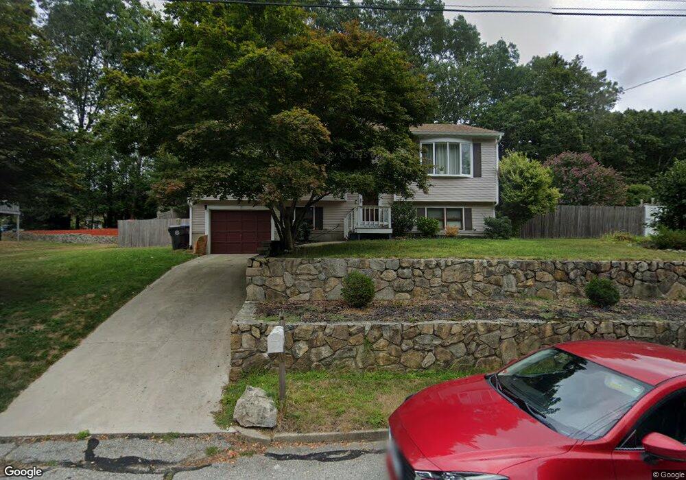
7 Locust Dr West Warwick, RI 02893
Crompton NeighborhoodEstimated Value: $398,000 - $475,000
3
Beds
2
Baths
1,487
Sq Ft
$296/Sq Ft
Est. Value
About This Home
This home is located at 7 Locust Dr, West Warwick, RI 02893 and is currently estimated at $439,747, approximately $295 per square foot. 7 Locust Dr is a home located in Kent County with nearby schools including West Warwick High School.
Ownership History
Date
Name
Owned For
Owner Type
Purchase Details
Closed on
Feb 26, 2019
Sold by
Amaral Paul and Amaral Lisa
Bought by
Amaral Paul
Current Estimated Value
Purchase Details
Closed on
Jul 16, 1998
Sold by
Dambra Kathy L and Dambra Debra
Bought by
Amaral Paul and Romano Lisa
Home Financials for this Owner
Home Financials are based on the most recent Mortgage that was taken out on this home.
Original Mortgage
$85,200
Interest Rate
6.98%
Create a Home Valuation Report for This Property
The Home Valuation Report is an in-depth analysis detailing your home's value as well as a comparison with similar homes in the area
Home Values in the Area
Average Home Value in this Area
Purchase History
| Date | Buyer | Sale Price | Title Company |
|---|---|---|---|
| Amaral Paul | -- | -- | |
| Amaral Paul | $106,500 | -- |
Source: Public Records
Mortgage History
| Date | Status | Borrower | Loan Amount |
|---|---|---|---|
| Previous Owner | Amaral Paul | $82,000 | |
| Previous Owner | Amaral Paul | $85,200 |
Source: Public Records
Tax History
| Year | Tax Paid | Tax Assessment Tax Assessment Total Assessment is a certain percentage of the fair market value that is determined by local assessors to be the total taxable value of land and additions on the property. | Land | Improvement |
|---|---|---|---|---|
| 2025 | $4,799 | $335,800 | $110,000 | $225,800 |
| 2024 | $4,901 | $262,200 | $86,900 | $175,300 |
| 2023 | $4,804 | $262,200 | $86,900 | $175,300 |
| 2022 | $4,730 | $262,200 | $86,900 | $175,300 |
| 2021 | $5,210 | $226,500 | $69,500 | $157,000 |
| 2020 | $5,210 | $226,500 | $69,500 | $157,000 |
| 2019 | $6,641 | $226,500 | $69,500 | $157,000 |
| 2018 | $4,716 | $173,500 | $67,500 | $106,000 |
| 2017 | $4,565 | $173,500 | $67,500 | $106,000 |
| 2016 | $4,483 | $173,500 | $67,500 | $106,000 |
| 2015 | $4,239 | $163,300 | $67,500 | $95,800 |
| 2014 | $1,037 | $163,300 | $67,500 | $95,800 |
Source: Public Records
Map
Nearby Homes
- 136 Silverwood Ln
- 1728 Main St
- 6 Teresa Ann Crossing
- 36 Cowesett Ave Unit 5
- 36 Cowesett Ave Unit 3
- 4 Teresa Ann Crossing
- 8 Teresa Ann Crossing
- 19 Turner Dr
- 2 Teresa Ann Crossing
- 8 Surrey Ln
- 6 Timber Walk Dr
- 21 Carlson Cir
- 65 Scenic Dr
- 500 E Greenwich Ave Unit 124
- 3 June Ct
- 240 Coit Ave
- 1605 Main St
- 54 Kristee Cir
- 565 Quaker Ln Unit 42
- 565 Quaker Ln Unit 32
Your Personal Tour Guide
Ask me questions while you tour the home.