7 Lowell Rd Windham, ME 04062
Estimated Value: $472,000 - $517,005
3
Beds
2
Baths
1,386
Sq Ft
$358/Sq Ft
Est. Value
About This Home
This home is located at 7 Lowell Rd, Windham, ME 04062 and is currently estimated at $496,001, approximately $357 per square foot. 7 Lowell Rd is a home with nearby schools including Windham Primary School, Manchester School, and Windham Middle School.
Ownership History
Date
Name
Owned For
Owner Type
Purchase Details
Closed on
May 12, 2016
Sold by
Truman Corp
Bought by
Conant Amanda M and Conant Christopher J
Current Estimated Value
Home Financials for this Owner
Home Financials are based on the most recent Mortgage that was taken out on this home.
Original Mortgage
$217,979
Outstanding Balance
$173,809
Interest Rate
3.71%
Mortgage Type
FHA
Estimated Equity
$322,192
Purchase Details
Closed on
Oct 30, 2008
Sold by
Cole Lena T
Bought by
Stanford Susan C
Create a Home Valuation Report for This Property
The Home Valuation Report is an in-depth analysis detailing your home's value as well as a comparison with similar homes in the area
Home Values in the Area
Average Home Value in this Area
Purchase History
| Date | Buyer | Sale Price | Title Company |
|---|---|---|---|
| Conant Amanda M | -- | -- | |
| Stanford Susan C | -- | -- |
Source: Public Records
Mortgage History
| Date | Status | Borrower | Loan Amount |
|---|---|---|---|
| Open | Conant Amanda M | $217,979 |
Source: Public Records
Tax History Compared to Growth
Tax History
| Year | Tax Paid | Tax Assessment Tax Assessment Total Assessment is a certain percentage of the fair market value that is determined by local assessors to be the total taxable value of land and additions on the property. | Land | Improvement |
|---|---|---|---|---|
| 2024 | $5,137 | $447,900 | $133,500 | $314,400 |
| 2023 | $4,627 | $413,100 | $124,200 | $288,900 |
| 2022 | $3,986 | $343,300 | $110,700 | $232,600 |
| 2021 | $3,689 | $292,800 | $96,300 | $196,500 |
| 2020 | $3,941 | $262,700 | $84,700 | $178,000 |
| 2019 | $3,846 | $262,700 | $84,700 | $178,000 |
| 2018 | $3,598 | $237,000 | $76,200 | $160,800 |
| 2017 | $3,516 | $214,000 | $67,800 | $146,200 |
| 2016 | $3,360 | $214,000 | $67,800 | $146,200 |
| 2015 | $930 | $61,400 | $61,400 | $0 |
| 2014 | $901 | $61,400 | $61,400 | $0 |
| 2013 | -- | $61,400 | $61,400 | $0 |
Source: Public Records
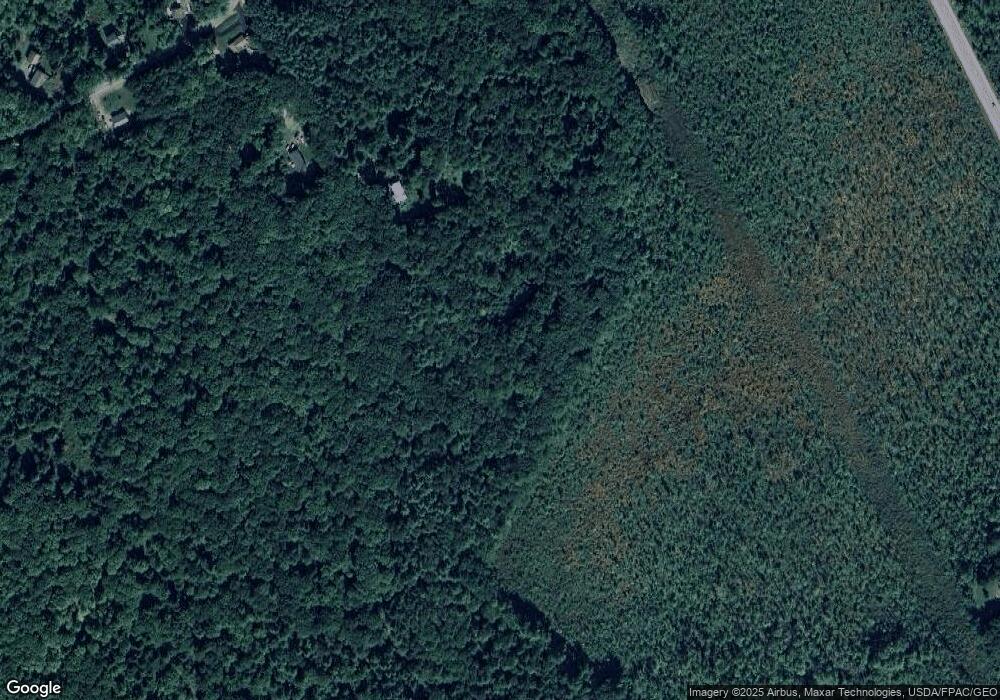
Map
Nearby Homes
- 1 Friendly Way (On Land of Nod )
- 10 Land of Nod Rd
- 23 Daybreak Ln Unit 23
- 1 Daybreak Ln Unit 1
- 7 Daybreak Ln Unit 3
- 22 Daybreak Ln Unit 11
- 18 Daybreak Ln Unit 13
- 25 Driftwood Ln Unit 19
- 4 Daybreak Ln Unit 19
- 18 Rosewood Dr
- 99 Land of Nod Rd
- 7 Haven Rd
- Lot 4 Highland Cliff Rd
- 11 Tucker Dr
- 30 Marshall Valley Rd
- 26 Marshall Valley Rd
- 11 Tucker Dr
- 53 Johnson Rd
- 214 Duck Pond Rd
- 180 Highland Cliff Rd
- 12 Lowell Rd
- 34 Land of Nod Rd
- 0 Lowell Rd
- 36 Land of Nod Rd
- 0 Land of Nod Rd Unit 757443
- 0 Land of Nod Rd Unit 737642
- 0 Land of Nod Rd Unit 702609
- 0 Land of Nod Rd Unit 465751
- 0 Land of Nod Rd Unit 1443640
- 0 Land of Nod Rd Unit 1270495
- 29 Land of Nod Rd
- 28 Land of Nod Rd
- 31 Land of Nod Rd
- 27 Land of Nod Rd
- 26 Land of Nod Rd
- 35 Land of Nod Rd
- 25 Land of Nod Rd
- 56 Vance Dr
- 44 Vance Dr
- 54 Land of Nod Rd