Estimated Value: $2,301,024
3
Beds
2
Baths
10,125
Sq Ft
$227/Sq Ft
Est. Value
About This Home
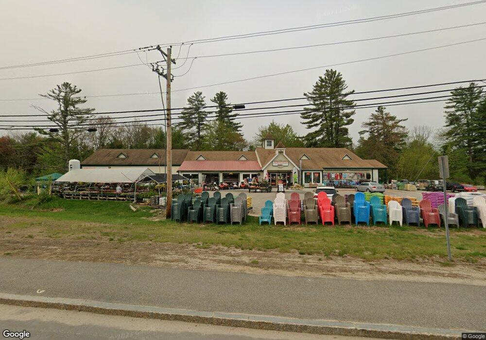
This home is located at 7 Main St, Alton, NH 03809 and is currently estimated at $2,301,024, approximately $227 per square foot. 7 Main St is a home located in Belknap County with nearby schools including Alton Central School (Elem) and Prospect Mountain High School.
Ownership History
Date
Name
Owned For
Owner Type
Purchase Details
Closed on
May 26, 2009
Sold by
Penney Mark S and Penney Wayne
Bought by
Penney Mark S and Penney Casey J
Current Estimated Value
Home Financials for this Owner
Home Financials are based on the most recent Mortgage that was taken out on this home.
Original Mortgage
$90,000
Interest Rate
4.93%
Mortgage Type
Commercial
Purchase Details
Closed on
Sep 23, 2004
Sold by
Consentino Edward F and Consentino Christine F
Bought by
Aubuchon Rlty
Create a Home Valuation Report for This Property
The Home Valuation Report is an in-depth analysis detailing your home's value as well as a comparison with similar homes in the area
Home Values in the Area
Average Home Value in this Area
Purchase History
| Date | Buyer | Sale Price | Title Company |
|---|---|---|---|
| Penney Mark S | $88,000 | -- | |
| Aubuchon Rlty | $900,000 | -- |
Source: Public Records
Mortgage History
| Date | Status | Borrower | Loan Amount |
|---|---|---|---|
| Open | Aubuchon Rlty | $3,440,500 | |
| Closed | Aubuchon Rlty | $90,000 |
Source: Public Records
Tax History Compared to Growth
Tax History
| Year | Tax Paid | Tax Assessment Tax Assessment Total Assessment is a certain percentage of the fair market value that is determined by local assessors to be the total taxable value of land and additions on the property. | Land | Improvement |
|---|---|---|---|---|
| 2024 | $11,585 | $892,500 | $383,600 | $508,900 |
| 2022 | $10,148 | $892,500 | $383,600 | $508,900 |
| 2021 | $10,157 | $892,500 | $383,600 | $508,900 |
| 2020 | $12,841 | $920,500 | $281,000 | $639,500 |
| 2019 | $11,515 | $920,500 | $281,000 | $639,500 |
| 2018 | $12,044 | $948,200 | $281,000 | $667,200 |
| 2017 | $12,194 | $948,200 | $281,000 | $667,200 |
| 2016 | $11,995 | $847,700 | $295,300 | $552,400 |
| 2015 | $12,097 | $847,700 | $295,300 | $552,400 |
| 2014 | $11,289 | $815,100 | $274,600 | $540,500 |
| 2013 | $10,935 | $813,600 | $274,600 | $539,000 |
Source: Public Records
Map
Nearby Homes
- 6 Suncook Valley Rd
- 86 Wolfeboro Hwy
- 19 Depot St
- 00 Baxter Place Unit 35
- 21 Silver Cascade Way
- 173 Suncook Valley Rd
- 191 Main St
- 222 Main St
- Lot 17 Baxter
- 214 Main St
- 221 New Durham Rd
- 00 Marsha
- 00 Suncook Valley Rd Unit 13
- 70 Osprey Rd
- 229 Frank C Gilman Hwy
- 23 Eagles Way
- 102 Osprey Rd
- 24 Osprey Rd
- 55 Osprey Rd
- 18 Osprey Rd
- 91 Main St
- 83 Main St
- 124 Fox Trot Loop
- 17 Main St
- 77 Main St
- 20 Main St
- Lot 6-18-3 Suncook Valley
- 6 Suncook Valley Rd
- 6 Suncook Valley Rd
- 6 Suncook Valley Rd
- 6 Suncook Valley Rd
- 4 Suncook Valley Rd
- 88 Fox Trot Loop
- 29 Main St
- 12 Suncook Valley Rd
- 24 Main St
- 14 Fox Trot Loop
- 19 Homestead Place
- 124 Fox Trot Loop
- 32 Suncook Valley Rd