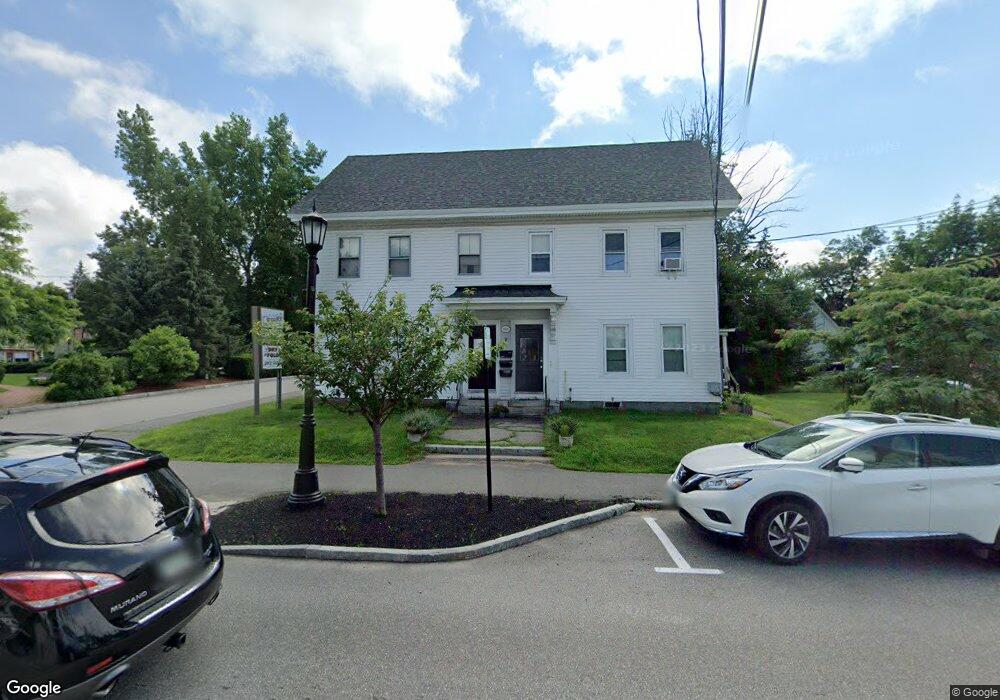
7 Main St Goffstown, NH 03045
Goffstown AreaAbout This Home
This home is located at 7 Main St, Goffstown, NH 03045. 7 Main St is a home located in Hillsborough County with nearby schools including Mountain View Middle School and Goffstown High School.
Ownership History
We collect this data history from publicly available records. To have your information removed, we recommend requesting removal directly through your county’s website.
Purchase Details
Home Financials for this Owner
Home Financials are based on the most recent Mortgage that was taken out on this home.Purchase Details
Home Values in the Area
Average Home Value in this Area
Purchase History
We collect this data history from publicly available records. To have your information removed, we recommend requesting removal directly through your county’s website.
| Date | Buyer | Sale Price | Title Company |
|---|---|---|---|
| $200,000 | -- | ||
| $225,000 | -- |
Mortgage History
We collect this data history from publicly available records. To have your information removed, we recommend requesting removal directly through your county’s website.
| Date | Status | Borrower | Loan Amount |
|---|---|---|---|
| Open | $250,000 |
Tax History
We collect this data history from publicly available records. To have your information removed, we recommend requesting removal directly through your county’s website.
| Year | Tax Paid | Tax Assessment Tax Assessment Total Assessment is a certain percentage of the fair market value that is determined by local assessors to be the total taxable value of land and additions on the property. | Land | Improvement |
|---|---|---|---|---|
| 2025 | $10,359 | $496,100 | $208,000 | $288,100 |
| 2024 | $10,140 | $496,100 | $208,000 | $288,100 |
| 2023 | $9,356 | $496,100 | $208,000 | $288,100 |
| 2022 | $10,227 | $388,700 | $200,300 | $188,400 |
| 2021 | $9,648 | $388,700 | $200,300 | $188,400 |
| 2020 | $9,648 | $388,700 | $200,300 | $188,400 |
| 2019 | $9,554 | $388,700 | $200,300 | $188,400 |
| 2018 | $7,230 | $388,700 | $200,300 | $188,400 |
| 2017 | $8,916 | $339,500 | $167,100 | $172,400 |
| 2016 | $8,973 | $339,500 | $167,100 | $172,400 |
| 2015 | $9,293 | $330,000 | $157,600 | $172,400 |
| 2014 | $8,910 | $330,000 | $157,600 | $172,400 |
Map
- 11 Summer St
- 37 N Mast St
- 4 Highland Ave
- 26 Pineridge St
- 31 Merrill Rd
- 31 Evergreen Dr
- 21 Evergreen Dr
- 141 Paige Hill Rd
- 50 Stinson Rd
- 88 Saunders Rd
- 21-2 Leach Hill Rd
- 106 Gorham Pond Rd
- 15 Warren Ave
- 0 Knoll Crest Rd Unit 2
- 88 Horizon Dr
- 66 Whipplewill Rd
- 12 Ryan Rd Unit B
- 4 Birch Ct
- 11 Jennifer Ln
- 345 Riverdale Rd
Ask me questions while you tour the home.