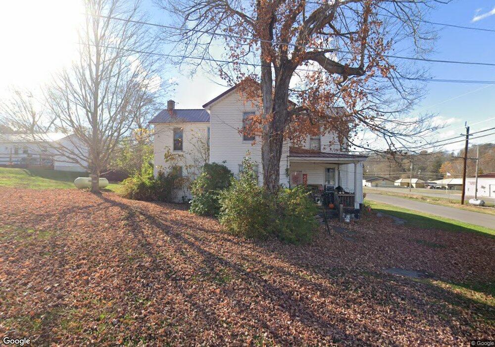
7 Maple St Mc Dermott, OH 45652
Estimated Value: $95,638 - $218,000
4
Beds
1
Bath
1,680
Sq Ft
$101/Sq Ft
Est. Value
About This Home
This home is located at 7 Maple St, Mc Dermott, OH 45652 and is currently estimated at $170,410, approximately $101 per square foot. 7 Maple St is a home with nearby schools including Northwest Elementary School, Northwest Middle School, and Northwest High School.
Ownership History
Date
Name
Owned For
Owner Type
Purchase Details
Closed on
May 11, 2016
Sold by
Strickland William F and Strickland Betty J
Bought by
Bolen Lorrie A and Strickland William F
Current Estimated Value
Purchase Details
Closed on
May 30, 2010
Sold by
Bolen Lorrie Ann
Bought by
Toppings Cheryl Yvonne
Purchase Details
Closed on
Apr 13, 2004
Bought by
Strickland William + Lorrie Ann Bol
Purchase Details
Closed on
May 15, 2001
Sold by
Toppings Betty J
Bought by
Strickland Betty and Strickland Willia
Create a Home Valuation Report for This Property
The Home Valuation Report is an in-depth analysis detailing your home's value as well as a comparison with similar homes in the area
Purchase History
| Date | Buyer | Sale Price | Title Company |
|---|---|---|---|
| Bolen Lorrie A | -- | -- | |
| Toppings Cheryl Yvonne | -- | Prepared By Larrie Bolen | |
| Strickland William + Lorrie Ann Bol | -- | -- | |
| Strickland Betty | -- | -- |
Source: Public Records
Tax History
| Year | Tax Paid | Tax Assessment Tax Assessment Total Assessment is a certain percentage of the fair market value that is determined by local assessors to be the total taxable value of land and additions on the property. | Land | Improvement |
|---|---|---|---|---|
| 2024 | $597 | $18,250 | $860 | $17,390 |
| 2023 | $372 | $18,250 | $860 | $17,390 |
| 2022 | $415 | $18,250 | $860 | $17,390 |
| 2021 | $251 | $14,550 | $750 | $13,800 |
| 2020 | $237 | $14,550 | $750 | $13,800 |
| 2019 | $236 | $13,240 | $690 | $12,550 |
| 2018 | $190 | $13,240 | $690 | $12,550 |
| 2017 | $190 | $13,240 | $690 | $12,550 |
| 2016 | $99 | $12,090 | $690 | $11,400 |
| 2015 | $141 | $12,090 | $690 | $11,400 |
| 2013 | $136 | $12,090 | $690 | $11,400 |
Source: Public Records
Map
Nearby Homes
- 1447 Mc Dermott Pond Creek Rd
- 1468A Tatman-Coe Rd
- 6847B Ohio 104
- 133 Crystal Dr
- 170 Wrights Run Rd
- 656 Arion Rd
- 11192 Ohio 104
- 11107 S Oakwood Ct
- 0 Careys Run
- 358 Warren Ave
- 0 Shepard Fork Rd
- 525 Martin Cemetery Rd
- 11683 Ohio 104
- 448 Houston Hollow Rd
- 0 Shepherd Fork Rd
- 139 Back St
- 357 Enley Rd
- A Enley Rd
- 6 Jackson St
- 1925 Pershing Ave
- 116 McDermott Rushtown Rd
- 29 Maple St
- 122 Hurley St
- 1005
- 287 McDerm Ott Pond
- 1531 Mc Dermott Pond Creek Rd
- 1005 Mc Dermott Pond Creek Rd
- 1281 Mc Dermott Pond Creek Rd
- 42 Maple St
- 90 High St
- 246C Rd
- 6 Johnson St
- 2281 McDermott Pond Creek Rd
- 2281 Mc Dermott Pond Creek Rd
- 26 Sycamore St
- 168 High St
- 8 Rose Aly
- 76 Maple St
- 45 Barker St
- 45 Barker St
Your Personal Tour Guide
Ask me questions while you tour the home.