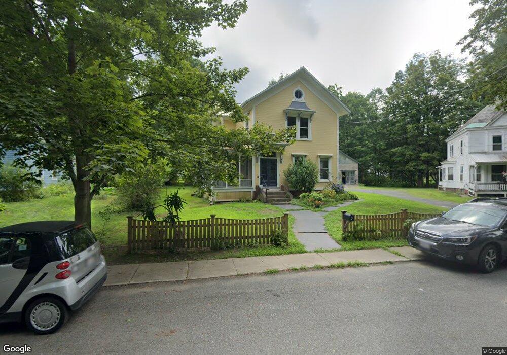
7 Masonic Ave Shelburne Falls, MA 01370
Estimated Value: $379,000 - $504,000
6
Beds
2
Baths
2,295
Sq Ft
$181/Sq Ft
Est. Value
About This Home
This home is located at 7 Masonic Ave, Shelburne Falls, MA 01370 and is currently estimated at $414,725, approximately $180 per square foot. 7 Masonic Ave is a home located in Franklin County with nearby schools including Mohawk Trail Regional High School.
Ownership History
Date
Name
Owned For
Owner Type
Purchase Details
Closed on
Jul 15, 2008
Sold by
Rosner Tricia W and Rosner Wesley M
Bought by
Rosner Tricia W
Current Estimated Value
Home Financials for this Owner
Home Financials are based on the most recent Mortgage that was taken out on this home.
Original Mortgage
$206,400
Interest Rate
6.13%
Mortgage Type
Purchase Money Mortgage
Purchase Details
Closed on
Jul 31, 2003
Sold by
Metaxas Pamela H
Bought by
Rosner Tricia W and Rosner Wesley M
Home Financials for this Owner
Home Financials are based on the most recent Mortgage that was taken out on this home.
Original Mortgage
$208,050
Interest Rate
5.28%
Mortgage Type
Purchase Money Mortgage
Create a Home Valuation Report for This Property
The Home Valuation Report is an in-depth analysis detailing your home's value as well as a comparison with similar homes in the area
Home Values in the Area
Average Home Value in this Area
Purchase History
| Date | Buyer | Sale Price | Title Company |
|---|---|---|---|
| Rosner Tricia W | -- | -- | |
| Rosner Tricia W | $219,000 | -- |
Source: Public Records
Mortgage History
| Date | Status | Borrower | Loan Amount |
|---|---|---|---|
| Open | Rosner Tricia W | $200,000 | |
| Closed | Rosner Tricia W | $206,400 | |
| Previous Owner | Rosner Tricia W | $208,050 |
Source: Public Records
Tax History Compared to Growth
Tax History
| Year | Tax Paid | Tax Assessment Tax Assessment Total Assessment is a certain percentage of the fair market value that is determined by local assessors to be the total taxable value of land and additions on the property. | Land | Improvement |
|---|---|---|---|---|
| 2025 | $3,997 | $311,300 | $83,800 | $227,500 |
| 2024 | $4,128 | $311,300 | $83,800 | $227,500 |
| 2023 | $3,968 | $290,700 | $83,800 | $206,900 |
| 2022 | $4,186 | $288,900 | $83,800 | $205,100 |
| 2021 | $3,813 | $263,500 | $76,100 | $187,400 |
| 2020 | $3,597 | $257,300 | $80,000 | $177,300 |
| 2019 | $3,406 | $236,700 | $76,100 | $160,600 |
| 2018 | $3,486 | $221,200 | $64,000 | $157,200 |
| 2017 | $3,285 | $221,200 | $64,000 | $157,200 |
| 2015 | $3,084 | $222,000 | $66,400 | $155,600 |
| 2014 | $3,024 | $222,000 | $66,400 | $155,600 |
Source: Public Records
Map
Nearby Homes
- 105 - 107 Bridge St
- 10 Deerfield Ave Unit 5
- 10 Deerfield Ave Unit 2
- 33 Williams St
- 102 Elm St
- 2151 Route 2
- 2155 Massachusetts 2
- 7 Hog Hollow Rd
- 156 Ashfield Rd
- 31 W Oxbow Rd
- 24 W Oxbow Rd
- 0 Upper St
- 0 W Oxbow Rd Unit 73453651
- 3+5 Church St
- 0 Fiske Mill Rd
- 0 Ashfield Rd
- 85 Dacey Rd
- lot 1 Shelburne Falls Rd
- 143 Charlemont Rd
- 240 Beldingville Rd