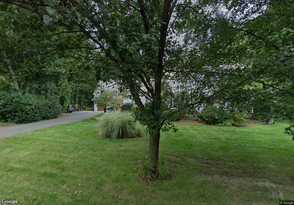
7 Michael Dr Clinton, CT 06413
Estimated Value: $741,000 - $811,000
4
Beds
3
Baths
3,105
Sq Ft
$245/Sq Ft
Est. Value
About This Home
This home is located at 7 Michael Dr, Clinton, CT 06413 and is currently estimated at $762,193, approximately $245 per square foot. 7 Michael Dr is a home located in Middlesex County with nearby schools including Lewin G. Joel Jr. School, The Morgan School, and Our Lady of Mercy Preparatory Academy.
Ownership History
Date
Name
Owned For
Owner Type
Purchase Details
Closed on
Dec 26, 1996
Sold by
C L Kenney & Son Inc
Bought by
Laggis Todd and Laggis Theresa
Current Estimated Value
Create a Home Valuation Report for This Property
The Home Valuation Report is an in-depth analysis detailing your home's value as well as a comparison with similar homes in the area
Home Values in the Area
Average Home Value in this Area
Purchase History
| Date | Buyer | Sale Price | Title Company |
|---|---|---|---|
| Laggis Todd | $216,300 | -- | |
| Laggis Todd | $216,300 | -- |
Source: Public Records
Mortgage History
| Date | Status | Borrower | Loan Amount |
|---|---|---|---|
| Open | Laggis Todd | $250,000 | |
| Closed | Laggis Todd | $150,000 | |
| Closed | Laggis Todd | $240,000 | |
| Closed | Laggis Todd | $198,400 |
Source: Public Records
Tax History
| Year | Tax Paid | Tax Assessment Tax Assessment Total Assessment is a certain percentage of the fair market value that is determined by local assessors to be the total taxable value of land and additions on the property. | Land | Improvement |
|---|---|---|---|---|
| 2025 | $10,136 | $325,500 | $72,000 | $253,500 |
| 2024 | $9,850 | $325,500 | $72,000 | $253,500 |
| 2023 | $9,710 | $325,500 | $72,000 | $253,500 |
| 2022 | $9,710 | $325,500 | $72,000 | $253,500 |
| 2021 | $9,286 | $311,300 | $78,900 | $232,400 |
| 2020 | $9,728 | $311,300 | $78,900 | $232,400 |
| 2019 | $9,728 | $311,300 | $78,900 | $232,400 |
| 2018 | $9,507 | $311,300 | $78,900 | $232,400 |
| 2017 | $9,311 | $311,300 | $78,900 | $232,400 |
| 2016 | $8,449 | $311,300 | $78,900 | $232,400 |
| 2015 | $8,842 | $330,300 | $82,300 | $248,000 |
| 2014 | $8,677 | $330,300 | $82,300 | $248,000 |
Source: Public Records
Map
Nearby Homes
- 4 Van Dyke Ln
- 244 Cow Hill Rd
- 73 Airline Rd
- 131 Cow Hill Rd
- 10 Stonewall Ln
- 8 Egypt Ln
- 43 Evergreen Park
- 696 Green Hill Rd
- 0 Skytop Dr
- 743 Green Hill Rd
- 92 Scotland Rd Unit Lot. 3
- 16 Forest Hills Dr
- 462 Horse Pond Rd
- 18 Kelsey Springs Dr
- 11 Longview Terrace
- 40 Hull Rd
- 214 Green Hill Rd
- 81 Strawberry Hill Rd
- 34 Hurd Bridge Rd
- 38 Sportsman Hill Rd
Your Personal Tour Guide
Ask me questions while you tour the home.