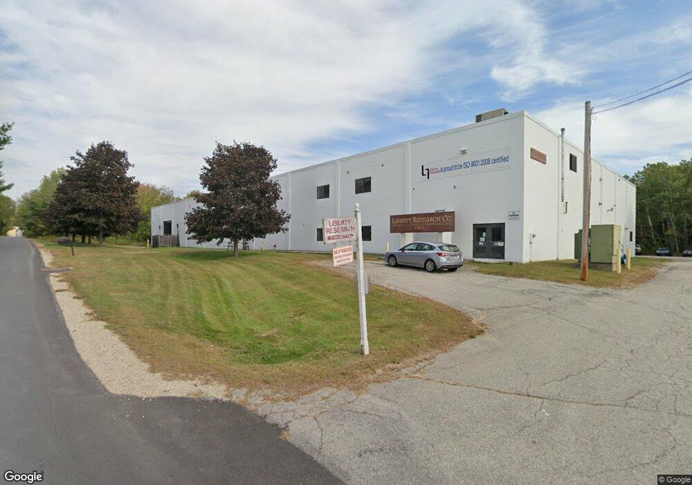
7 Nadeau Dr Rochester, NH 03867
Estimated Value: $3,819,519
--
Bed
--
Bath
34,966
Sq Ft
$109/Sq Ft
Est. Value
About This Home
This home is located at 7 Nadeau Dr, Rochester, NH 03867 and is currently estimated at $3,819,519, approximately $109 per square foot. 7 Nadeau Dr is a home located in Strafford County with nearby schools including Gonic School, Rochester Middle School, and Spaulding High School.
Ownership History
Date
Name
Owned For
Owner Type
Purchase Details
Closed on
Dec 5, 1997
Sold by
Labrie Robert L
Bought by
Liberty Research Co In
Current Estimated Value
Home Financials for this Owner
Home Financials are based on the most recent Mortgage that was taken out on this home.
Original Mortgage
$708,641
Outstanding Balance
$120,417
Interest Rate
7.28%
Mortgage Type
Commercial
Estimated Equity
$3,699,102
Create a Home Valuation Report for This Property
The Home Valuation Report is an in-depth analysis detailing your home's value as well as a comparison with similar homes in the area
Home Values in the Area
Average Home Value in this Area
Purchase History
| Date | Buyer | Sale Price | Title Company |
|---|---|---|---|
| Liberty Research Co In | $725,000 | -- |
Source: Public Records
Mortgage History
| Date | Status | Borrower | Loan Amount |
|---|---|---|---|
| Open | Liberty Research Co In | $708,641 |
Source: Public Records
Tax History Compared to Growth
Tax History
| Year | Tax Paid | Tax Assessment Tax Assessment Total Assessment is a certain percentage of the fair market value that is determined by local assessors to be the total taxable value of land and additions on the property. | Land | Improvement |
|---|---|---|---|---|
| 2024 | $16,838 | $1,133,900 | $496,100 | $637,800 |
| 2023 | $24,347 | $945,900 | $143,800 | $802,100 |
| 2022 | $23,912 | $945,900 | $143,800 | $802,100 |
| 2021 | $23,316 | $945,900 | $143,800 | $802,100 |
| 2020 | $22,912 | $931,000 | $143,800 | $787,200 |
| 2019 | $23,182 | $931,000 | $143,800 | $787,200 |
| 2018 | $26,689 | $969,800 | $143,800 | $826,000 |
| 2017 | $25,535 | $969,800 | $143,800 | $826,000 |
| 2016 | $27,407 | $969,800 | $143,800 | $826,000 |
| 2015 | $27,300 | $969,800 | $143,800 | $826,000 |
| 2014 | $26,640 | $969,800 | $143,800 | $826,000 |
| 2013 | $23,118 | $877,000 | $167,500 | $709,500 |
| 2012 | $22,521 | $877,000 | $167,500 | $709,500 |
Source: Public Records
Map
Nearby Homes
- 58 Pickering Rd
- 8 Tebbetts Rd
- 24 Birdie Grove Unit F
- 24 Birdie Grove Unit D
- 24 Birdie Grove Unit B
- 24 Birdie Grove Unit E
- 24 Birdie Grove Unit C
- 13 Birdie Grove Unit C
- 13 Birdie Grove Unit D
- 13 Birdie Grove Unit F
- 18 Birdie Grove Unit E
- 18 Birdie Grove Unit A
- 18 Birdie Grove Unit B
- 18 Birdie Grove Unit D
- 5 N Fuchsia Dr
- 0 Pickering Rd Unit 5026038
- 283 Chesley Hill Rd
- 5 S Blueberry Ln
- 22 S Dewberry Ln
- 9 S Blueberry Ln
- 97 Pickering Rd
- 97 Pickering Rd Unit A & B
- 22 Nadeau Dr
- 238 Pickering Rd
- 27 Nadeau Dr
- 149 Pickering Rd
- 152 Pickering Rd
- 264 Pickering Rd
- 2 Tebbetts Rd
- 48 Pickering Rd
- 47 Pickering Rd
- 286 Pickering Rd
- 190 Pickering Rd
- 5 Tebbetts Rd
- 5 Tebbetts Rd
- 5 Tebbetts Rd
- 193 Pickering Rd
- 5 Tebbetts Rd
- 8 Quaker Ln
- 5 Brickyard Dr