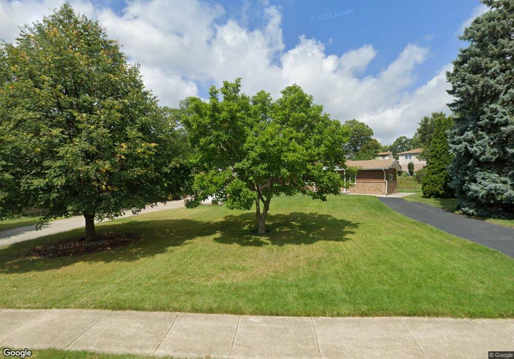
7 Norton Ave Lemont, IL 60439
West Lemont NeighborhoodEstimated Value: $466,000 - $522,541
3
Beds
3
Baths
1,793
Sq Ft
$278/Sq Ft
Est. Value
About This Home
This home is located at 7 Norton Ave, Lemont, IL 60439 and is currently estimated at $499,135, approximately $278 per square foot. 7 Norton Ave is a home located in Cook County with nearby schools including Oakwood School, River Valley School, and Old Quarry Middle School.
Ownership History
Date
Name
Owned For
Owner Type
Purchase Details
Closed on
Jul 18, 2016
Sold by
Pawlak Mark
Bought by
Pawlak Patricia
Current Estimated Value
Purchase Details
Closed on
Feb 8, 2002
Sold by
Marquette Bank
Bought by
Pawlak Mark and Pawlak Patricia
Home Financials for this Owner
Home Financials are based on the most recent Mortgage that was taken out on this home.
Original Mortgage
$219,200
Outstanding Balance
$91,149
Interest Rate
7.14%
Estimated Equity
$407,986
Purchase Details
Closed on
Sep 2, 2000
Sold by
Johnson Lorraine
Bought by
Marquette National Bank and Trust #15474
Create a Home Valuation Report for This Property
The Home Valuation Report is an in-depth analysis detailing your home's value as well as a comparison with similar homes in the area
Home Values in the Area
Average Home Value in this Area
Purchase History
| Date | Buyer | Sale Price | Title Company |
|---|---|---|---|
| Pawlak Patricia | -- | Attorney | |
| Pawlak Mark | $274,000 | -- | |
| Marquette National Bank | -- | -- |
Source: Public Records
Mortgage History
| Date | Status | Borrower | Loan Amount |
|---|---|---|---|
| Open | Pawlak Mark | $219,200 |
Source: Public Records
Tax History Compared to Growth
Tax History
| Year | Tax Paid | Tax Assessment Tax Assessment Total Assessment is a certain percentage of the fair market value that is determined by local assessors to be the total taxable value of land and additions on the property. | Land | Improvement |
|---|---|---|---|---|
| 2024 | $8,663 | $40,547 | $7,000 | $33,547 |
| 2023 | $6,857 | $45,000 | $7,000 | $38,000 |
| 2022 | $6,857 | $31,666 | $6,160 | $25,506 |
| 2021 | $6,669 | $31,665 | $6,160 | $25,505 |
| 2020 | $6,793 | $31,665 | $6,160 | $25,505 |
| 2019 | $6,371 | $30,976 | $6,160 | $24,816 |
| 2018 | $6,265 | $30,976 | $6,160 | $24,816 |
| 2017 | $6,185 | $30,976 | $6,160 | $24,816 |
| 2016 | $5,743 | $26,825 | $5,040 | $21,785 |
| 2015 | $5,800 | $26,825 | $5,040 | $21,785 |
| 2014 | $5,868 | $26,825 | $5,040 | $21,785 |
| 2013 | $6,266 | $30,196 | $5,040 | $25,156 |
Source: Public Records
Map
Nearby Homes
- 606 Valley Dr
- 905 State St
- 700 State St
- 1023 Walter St
- 1025 Walter St
- 714 Walnut St
- 1 W Division St
- 207 E Custer St
- 1105 Walter St
- 1104 Walter St
- 15824 New Ave
- 15976 New Ave
- Brighton Plan at Copper Ridge Townhomes
- B Saybrook Plan at Copper Ridge Townhomes
- A Saybrook Plan at Copper Ridge Townhomes
- Sienna Plan at Copper Ridge Townhomes
- Breckenridge Plan at Copper Ridge Townhomes
- Sorrento Plan at Copper Ridge Townhomes
- Telluride Plan at Copper Ridge Townhomes
- 700 Czacki St