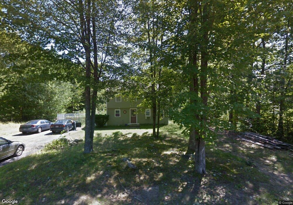
7 Oak Ridge Rd Sanford, ME 04073
South Sanford NeighborhoodEstimated Value: $319,000 - $410,000
3
Beds
1
Bath
1,178
Sq Ft
$315/Sq Ft
Est. Value
About This Home
This home is located at 7 Oak Ridge Rd, Sanford, ME 04073 and is currently estimated at $370,732, approximately $314 per square foot. 7 Oak Ridge Rd is a home located in York County with nearby schools including Sanford Christian Academy and St Thomas Consolidated School.
Ownership History
Date
Name
Owned For
Owner Type
Purchase Details
Closed on
Jan 29, 2013
Sold by
Mclaughlin Karen L
Bought by
Baron Matthew B
Current Estimated Value
Home Financials for this Owner
Home Financials are based on the most recent Mortgage that was taken out on this home.
Original Mortgage
$132,551
Outstanding Balance
$91,750
Interest Rate
3.35%
Mortgage Type
Purchase Money Mortgage
Estimated Equity
$278,982
Purchase Details
Closed on
Oct 29, 2010
Sold by
Gallant Karen L and Mclaughlin Karen L
Bought by
Mclaughlin Karen L
Purchase Details
Closed on
Mar 30, 2009
Sold by
Gallant Lance G
Bought by
Gallant Karen L
Create a Home Valuation Report for This Property
The Home Valuation Report is an in-depth analysis detailing your home's value as well as a comparison with similar homes in the area
Home Values in the Area
Average Home Value in this Area
Purchase History
| Date | Buyer | Sale Price | Title Company |
|---|---|---|---|
| Baron Matthew B | -- | -- | |
| Mclaughlin Karen L | -- | -- | |
| Gallant Karen L | -- | -- |
Source: Public Records
Mortgage History
| Date | Status | Borrower | Loan Amount |
|---|---|---|---|
| Open | Baron Matthew B | $132,551 | |
| Previous Owner | Gallant Karen L | $105,022 |
Source: Public Records
Tax History Compared to Growth
Tax History
| Year | Tax Paid | Tax Assessment Tax Assessment Total Assessment is a certain percentage of the fair market value that is determined by local assessors to be the total taxable value of land and additions on the property. | Land | Improvement |
|---|---|---|---|---|
| 2025 | $3,730 | $218,100 | $54,300 | $163,800 |
| 2024 | $3,520 | $218,100 | $54,300 | $163,800 |
| 2023 | $3,276 | $216,400 | $54,300 | $162,100 |
| 2022 | $3,203 | $216,400 | $54,300 | $162,100 |
| 2021 | $3,191 | $175,500 | $54,300 | $121,200 |
| 2020 | $3,107 | $154,100 | $54,300 | $99,800 |
| 2019 | $3,064 | $148,000 | $54,300 | $93,700 |
| 2018 | $2,942 | $143,500 | $54,300 | $89,200 |
| 2017 | $2,831 | $136,500 | $54,300 | $82,200 |
| 2016 | $2,940 | $129,300 | $54,200 | $75,100 |
| 2015 | $3,116 | $141,400 | $65,400 | $76,000 |
| 2014 | $3,105 | $143,600 | $67,600 | $76,000 |
| 2013 | -- | $143,600 | $67,600 | $76,000 |
Source: Public Records
Map
Nearby Homes
- 9 Oak Ridge Rd
- 5 Oak Ridge Rd
- 12 Oak Ridge Rd
- 14 Oak Ridge Rd
- 10 Oak Ridge Rd
- 8 Oak Ridge Rd
- 16 Oak Ridge Rd
- 11 Oak Ridge Rd
- 4 Oak Ridge Rd
- 7 Stoneybrook Rd
- 9 Stoneybrook Rd
- 5 Stoneybrook Rd
- 13 Oak Ridge Rd
- 1 Oak Ridge Rd
- 11 Stoneybrook Rd
- 13 Stoneybrook Rd
- 3 Stoneybrook Rd
- 3 Stoneybrook Rd
- 6 Stoneybrook Rd
- 6 Stoneybrook Rd