7 Ocean View Terrace North Truro, MA 2652
Estimated Value: $699,828 - $956,000
3
Beds
1
Bath
672
Sq Ft
$1,259/Sq Ft
Est. Value
About This Home
This home is located at 7 Ocean View Terrace, North Truro, MA 2652 and is currently estimated at $846,207, approximately $1,259 per square foot. 7 Ocean View Terrace is a home located in Barnstable County with nearby schools including Truro Central School.
Ownership History
Date
Name
Owned For
Owner Type
Purchase Details
Closed on
Apr 6, 2011
Sold by
Noonan Michael S and Noonan Donna J
Bought by
Truro Llc
Current Estimated Value
Home Financials for this Owner
Home Financials are based on the most recent Mortgage that was taken out on this home.
Original Mortgage
$218,500
Outstanding Balance
$9,641
Interest Rate
4.09%
Mortgage Type
Purchase Money Mortgage
Estimated Equity
$836,566
Purchase Details
Closed on
Mar 4, 2011
Sold by
Capt & Rose Zimmer Ft and Zimmer
Bought by
Noonan Michael S and Noonan Donna J
Home Financials for this Owner
Home Financials are based on the most recent Mortgage that was taken out on this home.
Original Mortgage
$218,500
Outstanding Balance
$9,641
Interest Rate
4.09%
Mortgage Type
Purchase Money Mortgage
Estimated Equity
$836,566
Create a Home Valuation Report for This Property
The Home Valuation Report is an in-depth analysis detailing your home's value as well as a comparison with similar homes in the area
Home Values in the Area
Average Home Value in this Area
Purchase History
| Date | Buyer | Sale Price | Title Company |
|---|---|---|---|
| Truro Llc | -- | -- | |
| Noonan Michael S | $390,000 | -- |
Source: Public Records
Mortgage History
| Date | Status | Borrower | Loan Amount |
|---|---|---|---|
| Open | Noonan Michael S | $218,500 |
Source: Public Records
Tax History Compared to Growth
Tax History
| Year | Tax Paid | Tax Assessment Tax Assessment Total Assessment is a certain percentage of the fair market value that is determined by local assessors to be the total taxable value of land and additions on the property. | Land | Improvement |
|---|---|---|---|---|
| 2025 | $3,180 | $514,500 | $384,100 | $130,400 |
| 2024 | $3,034 | $506,500 | $380,300 | $126,200 |
| 2023 | $2,874 | $439,500 | $330,700 | $108,800 |
| 2022 | $2,835 | $366,700 | $285,100 | $81,600 |
| 2021 | $2,570 | $348,300 | $285,100 | $63,200 |
| 2020 | $4,107 | $345,800 | $282,200 | $63,600 |
| 2019 | $2,655 | $356,400 | $282,200 | $74,200 |
| 2018 | $3,768 | $349,500 | $282,200 | $67,300 |
| 2017 | $2,414 | $345,800 | $282,200 | $63,600 |
| 2016 | $2,321 | $342,800 | $279,500 | $63,300 |
| 2015 | $2,238 | $337,600 | $276,700 | $60,900 |
Source: Public Records
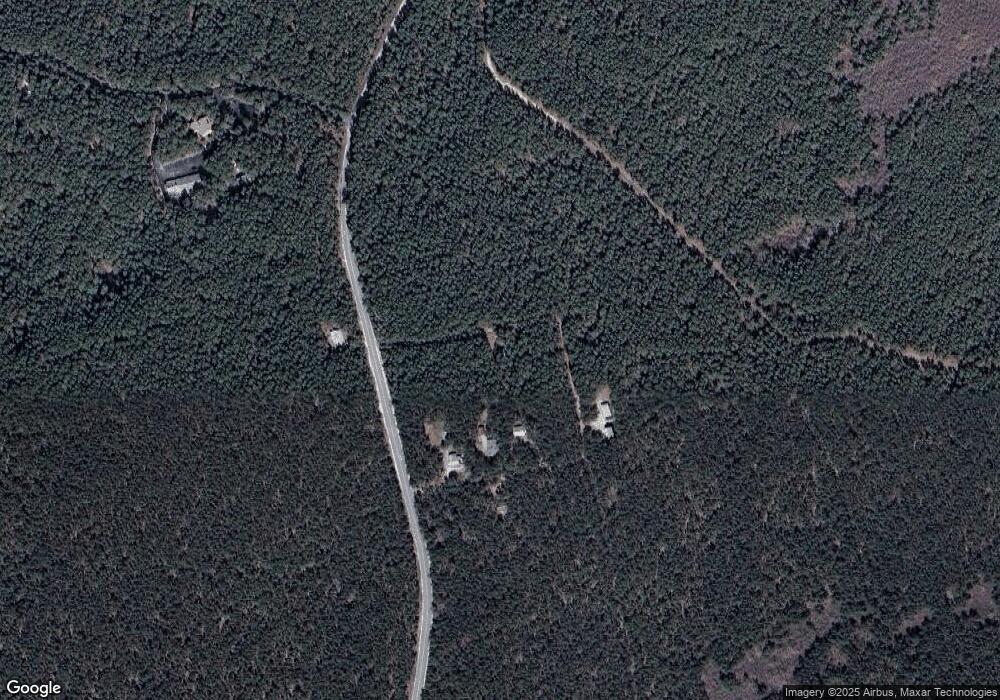
Map
Nearby Homes
- 71 Shore Rd
- 82 Shore Rd Unit 8
- 72 Highland Rd
- 4 Highland Rd Unit C
- 2 Pine Ridge End
- 6 Professional Heights Rd Unit 1
- 32 Twine Field Rd
- 132 Shore Rd Unit 3
- 132 Shore Rd Unit 7
- 4 Sandpiper Rd
- 11 Highland Light Rd
- 71 S Highland Rd Unit 235
- 22 Shore Rd
- 16 Hughes Rd
- 125 Shore Rd Unit 10
- 4 Laura's Way
- 47 Pond Rd
- 168 Shore Rd Unit 9
- 168 Shore Rd Unit 5
- 174 Shore Rd Unit 15
- 1 Pearsall Dr
- 8 Meadow Terrace
- 6 Meadow Terrace
- 2 Pearsall Dr
- 4 Meadow Terrace
- 4 Pearsall Dr
- 5 Meadow Terrace
- 52 Hd of Meadow Rd
- 52 Head of Meadow Rd
- 15 Coast Guard Path
- 63 Head of the Meadow Rd
- 63 Head of the Meadow Rd
- 44 Coast Guard Rd
- 3 Coast Guard Ln
- 32 Coast Guard Rd
- 4 Coast Guard Ln
- 46 Highland Rd
- 4 Coast Guard Terrace
- 40 Highland Rd
- 452 Route 6