7 Orchard Rd Montague, MA 01351
Estimated Value: $320,000 - $454,000
3
Beds
1
Bath
864
Sq Ft
$445/Sq Ft
Est. Value
About This Home
This home is located at 7 Orchard Rd, Montague, MA 01351 and is currently estimated at $384,102, approximately $444 per square foot. 7 Orchard Rd is a home located in Franklin County.
Ownership History
Date
Name
Owned For
Owner Type
Purchase Details
Closed on
May 30, 1990
Sold by
Williams Myrtle H
Bought by
Black Harold W
Current Estimated Value
Home Financials for this Owner
Home Financials are based on the most recent Mortgage that was taken out on this home.
Original Mortgage
$45,000
Interest Rate
10.25%
Mortgage Type
Purchase Money Mortgage
Create a Home Valuation Report for This Property
The Home Valuation Report is an in-depth analysis detailing your home's value as well as a comparison with similar homes in the area
Home Values in the Area
Average Home Value in this Area
Purchase History
| Date | Buyer | Sale Price | Title Company |
|---|---|---|---|
| Black Harold W | $75,000 | -- | |
| Black Harold W | $75,000 | -- |
Source: Public Records
Mortgage History
| Date | Status | Borrower | Loan Amount |
|---|---|---|---|
| Closed | Black Harold W | $15,000 | |
| Open | Black Harold W | $46,500 | |
| Closed | Black Harold W | $45,000 |
Source: Public Records
Tax History Compared to Growth
Tax History
| Year | Tax Paid | Tax Assessment Tax Assessment Total Assessment is a certain percentage of the fair market value that is determined by local assessors to be the total taxable value of land and additions on the property. | Land | Improvement |
|---|---|---|---|---|
| 2025 | $4,922 | $323,600 | $118,800 | $204,800 |
| 2024 | $4,851 | $309,000 | $118,800 | $190,200 |
| 2023 | $4,507 | $288,000 | $118,800 | $169,200 |
| 2022 | $4,517 | $269,500 | $118,800 | $150,700 |
| 2021 | $4,728 | $271,100 | $129,300 | $141,800 |
| 2020 | $4,556 | $259,300 | $129,300 | $130,000 |
| 2019 | $3,919 | $228,800 | $131,900 | $96,900 |
| 2018 | $3,691 | $216,000 | $121,400 | $94,600 |
| 2017 | $3,601 | $216,000 | $121,400 | $94,600 |
| 2016 | $3,531 | $200,500 | $108,700 | $91,800 |
| 2015 | $3,400 | $200,500 | $108,700 | $91,800 |
| 2014 | $3,276 | $200,500 | $108,700 | $91,800 |
Source: Public Records
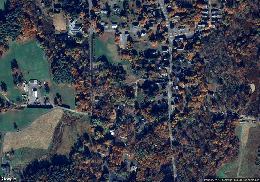
Map
Nearby Homes
- 64 Main St
- 495 Federal St Unit B
- 2 Gunn Rd
- 35 A N Leverett Rd
- 39 N Leverett Rd
- 132 Meadow Rd
- 10 Hannabrooke Dr
- 0 Pocumtuck Dr Unit 73379330
- 134 Montague Rd
- 55 A + B Randall Rd
- 8 Craig Ave
- 5 Bridge St
- 109 Montague City Rd
- 202 Turnpike Rd
- 183 Millers Falls Rd
- 345 Greenfield Rd
- 114 Montague St
- 2 Alice St
- Lots 1-4 Kavanaugh Ln
- 89 Montague St
- 70 Main St
- 66 Main St
- 68 Main St
- 0 Main St
- 5 Orchard St
- 4 Old Sunderland Rd
- 0 Old Sunderland Rd Unit 72387546
- 0 Old Sunderland Rd Unit 72330504
- 0 Old Sunderland Rd Unit 72888188
- 0 Old Sunderland Rd Unit 72741283
- 2 Old Sunderland Rd
- 75 Main St
- 71 Main St
- 69 Main St
- 4 West St
- 67 Main St
- 2 South St
- 10 Old Sunderland Rd
- 1 South St Unit J
- 8 Algy