7 Patrician Shores Cir Meredith, NH 03253
Estimated Value: $651,000 - $1,049,000
2
Beds
3
Baths
1,428
Sq Ft
$611/Sq Ft
Est. Value
About This Home
This home is located at 7 Patrician Shores Cir, Meredith, NH 03253 and is currently estimated at $872,628, approximately $611 per square foot. 7 Patrician Shores Cir is a home with nearby schools including Inter-Lakes Elementary School and Immaculate Conception Apostolic School.
Ownership History
Date
Name
Owned For
Owner Type
Purchase Details
Closed on
Feb 17, 2021
Sold by
Healy Joseph M and Healy Gina M
Bought by
Mack Christopher and Murphy Carolyn
Current Estimated Value
Purchase Details
Closed on
Jun 1, 2007
Sold by
Barbara J Corrente T
Bought by
Healy Joseph M and Healy Gina M
Home Financials for this Owner
Home Financials are based on the most recent Mortgage that was taken out on this home.
Original Mortgage
$335,200
Interest Rate
6.24%
Mortgage Type
Purchase Money Mortgage
Create a Home Valuation Report for This Property
The Home Valuation Report is an in-depth analysis detailing your home's value as well as a comparison with similar homes in the area
Home Values in the Area
Average Home Value in this Area
Purchase History
| Date | Buyer | Sale Price | Title Company |
|---|---|---|---|
| Mack Christopher | $700,000 | None Available | |
| Healy Joseph M | $419,000 | -- |
Source: Public Records
Mortgage History
| Date | Status | Borrower | Loan Amount |
|---|---|---|---|
| Previous Owner | Healy Joseph M | $335,200 |
Source: Public Records
Tax History Compared to Growth
Tax History
| Year | Tax Paid | Tax Assessment Tax Assessment Total Assessment is a certain percentage of the fair market value that is determined by local assessors to be the total taxable value of land and additions on the property. | Land | Improvement |
|---|---|---|---|---|
| 2024 | $8,389 | $817,600 | $564,300 | $253,300 |
| 2023 | $8,086 | $817,600 | $564,300 | $253,300 |
| 2022 | $6,362 | $455,400 | $263,100 | $192,300 |
| 2021 | $6,116 | $455,400 | $263,100 | $192,300 |
| 2020 | $6,385 | $455,400 | $263,100 | $192,300 |
| 2019 | $5,814 | $365,900 | $193,400 | $172,500 |
| 2018 | $5,715 | $365,900 | $193,400 | $172,500 |
| 2016 | $5,227 | $335,300 | $187,900 | $147,400 |
| 2015 | $4,691 | $308,600 | $187,900 | $120,700 |
| 2014 | $4,577 | $308,600 | $187,900 | $120,700 |
| 2013 | $4,447 | $308,600 | $187,900 | $120,700 |
Source: Public Records
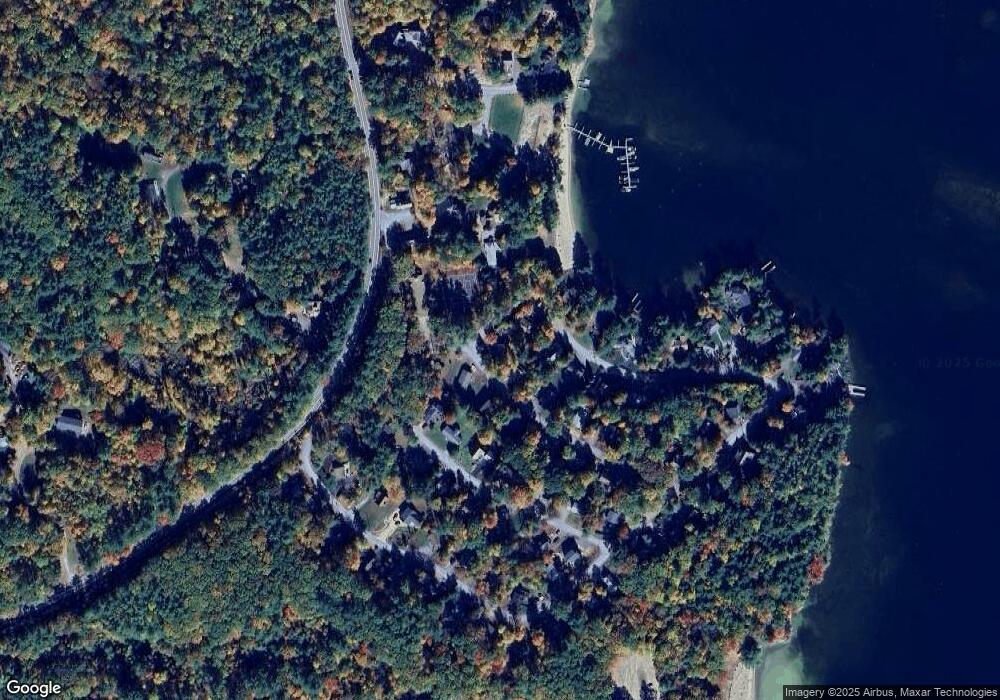
Map
Nearby Homes
- 00 Gilman Hill Rd Unit 1
- 1 Little Beaver Island
- 320 Redding Ln
- 24 Dew Point Ln
- 22 Tiger Trail
- 30 Leopards Leap
- 52 Chase Cir
- 38 Lake Shore Dr Unit 12
- 38 Lake Shore Dr Unit 10
- 00 Whittier Hwy Unit 8
- 142 Nh Route 25
- 20 True Rd Unit 85
- 20 True Rd Unit 101
- 20 True Rd Unit 63
- 85 Blueberry Hill Rd
- 111 Nh Route 25
- 99 Pleasant St
- 203 Krainewood Dr
- 8 Kelly Ln
- 32 Boynton Rd
- 4 Founders Rd
- 3 Founders Rd
- 9 Patrician Shores Cir
- 11 Patrician Shores Cir
- 5 Founders Rd
- 6 Founders Rd
- 5 Patrician Shores Cir
- 7 Founders Rd
- 13 Patrician Shores Cir
- 2 Marinello Rd
- 12 Patrician Shores Cir
- 7 Sorensen Rd
- 4 Marinello Rd
- 9 Founders Rd
- 14 Patrician Shores Cir
- 8 Founders Rd
- 6 Marinello Rd
- 8 Marinello Rd
- 16 Patrician Shores Cir
- 11 Founders Rd