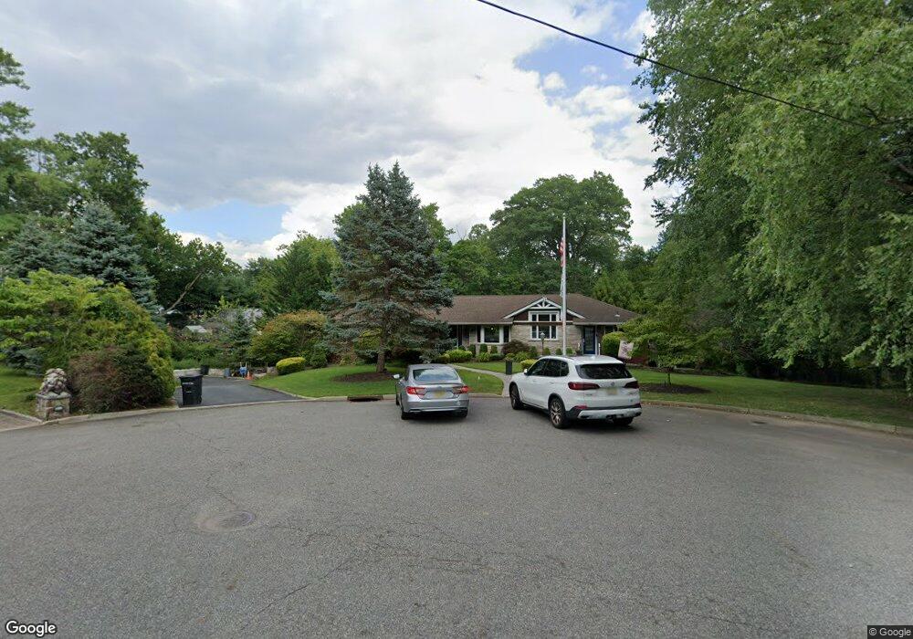
7 Pearl Brook Dr Clifton, NJ 07013
Montclair Heights NeighborhoodEstimated Value: $947,000 - $1,335,000
--
Bed
--
Bath
3,706
Sq Ft
$297/Sq Ft
Est. Value
About This Home
This home is located at 7 Pearl Brook Dr, Clifton, NJ 07013 and is currently estimated at $1,100,514, approximately $296 per square foot. 7 Pearl Brook Dr is a home located in Passaic County with nearby schools including Clifton High School, Saint Philip the Apostle Preparatory School, and The Magical Palace of Knowledge.
Ownership History
Date
Name
Owned For
Owner Type
Purchase Details
Closed on
Jun 13, 2000
Sold by
Ventimiglia Marguerite and Ventimiglia Eugene
Bought by
Ventimiglia Marguerite
Current Estimated Value
Create a Home Valuation Report for This Property
The Home Valuation Report is an in-depth analysis detailing your home's value as well as a comparison with similar homes in the area
Home Values in the Area
Average Home Value in this Area
Purchase History
| Date | Buyer | Sale Price | Title Company |
|---|---|---|---|
| Ventimiglia Marguerite | -- | -- |
Source: Public Records
Tax History Compared to Growth
Tax History
| Year | Tax Paid | Tax Assessment Tax Assessment Total Assessment is a certain percentage of the fair market value that is determined by local assessors to be the total taxable value of land and additions on the property. | Land | Improvement |
|---|---|---|---|---|
| 2025 | $21,126 | $355,900 | $174,400 | $181,500 |
| 2024 | $20,621 | $355,900 | $174,400 | $181,500 |
| 2022 | $20,322 | $355,900 | $174,400 | $181,500 |
| 2021 | $19,486 | $355,900 | $174,400 | $181,500 |
| 2020 | $19,550 | $355,900 | $174,400 | $181,500 |
| 2019 | $19,956 | $365,900 | $174,400 | $191,500 |
| 2018 | $19,843 | $365,900 | $174,400 | $191,500 |
| 2017 | $19,627 | $365,900 | $174,400 | $191,500 |
| 2016 | $19,246 | $365,900 | $174,400 | $191,500 |
| 2015 | $19,060 | $365,900 | $174,400 | $191,500 |
| 2014 | $18,668 | $365,900 | $174,400 | $191,500 |
Source: Public Records
Map
Nearby Homes
- 109 Churchill Dr
- 50 Edwards Rd
- 36 Independence Ct
- 28 Charles St
- 41 Pino Ct
- 1243 Valley Rd
- 981 Valley Rd
- 65 Macarthur Dr
- 605 Grove St Unit 4
- 605 Grove St Unit 11
- 1283 Valley Rd Unit 7
- 18 Adams Terrace Unit 2
- 167 Rolling Hills Rd
- 565 Grove St Unit B12
- 43 Graydon Terrace
- 900 Valley Rd Unit E6
- 33 Graydon Terrace
- 29 Lennon Place
- 68 Doherty Dr
- 479 Grove St
- 85 Churchill Dr
- 19 Pearl Brook Dr
- 1 Pearl Brook Dr
- 171 Charles St
- 95 Churchill Dr
- 20 Pearl Brook Dr
- 25 Pearl Brook Dr
- 165 Charles St
- 170 Charles St
- 199 Charles St
- 61 Mccosh Rd
- 71 Mccosh Rd
- 57 Mccosh Rd
- 55 Mccosh Rd
- 75 Mccosh Rd
- 67 Churchill Dr
- 104 Churchill Dr
- 81 Mccosh Rd
- 164 Charles St
- 159 Charles St