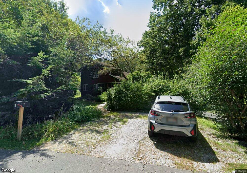
7 Pine Tree Cir Pelham, MA 01002
Estimated Value: $513,000 - $610,000
3
Beds
2
Baths
1,931
Sq Ft
$288/Sq Ft
Est. Value
About This Home
This home is located at 7 Pine Tree Cir, Pelham, MA 01002 and is currently estimated at $556,542, approximately $288 per square foot. 7 Pine Tree Cir is a home located in Hampshire County with nearby schools including Pelham Elementary School, Amherst Regional Middle School, and Amherst Regional High School.
Ownership History
Date
Name
Owned For
Owner Type
Purchase Details
Closed on
Sep 14, 2007
Sold by
Kostoroski Dawn M and Kostoroski Michael J
Bought by
Mcginniss Joseph R and Doherty Nancy E
Current Estimated Value
Home Financials for this Owner
Home Financials are based on the most recent Mortgage that was taken out on this home.
Original Mortgage
$319,500
Outstanding Balance
$203,629
Interest Rate
6.7%
Mortgage Type
Purchase Money Mortgage
Estimated Equity
$352,913
Create a Home Valuation Report for This Property
The Home Valuation Report is an in-depth analysis detailing your home's value as well as a comparison with similar homes in the area
Home Values in the Area
Average Home Value in this Area
Purchase History
| Date | Buyer | Sale Price | Title Company |
|---|---|---|---|
| Mcginniss Joseph R | $355,000 | -- |
Source: Public Records
Mortgage History
| Date | Status | Borrower | Loan Amount |
|---|---|---|---|
| Open | Mcginniss Joseph R | $319,500 |
Source: Public Records
Tax History
| Year | Tax Paid | Tax Assessment Tax Assessment Total Assessment is a certain percentage of the fair market value that is determined by local assessors to be the total taxable value of land and additions on the property. | Land | Improvement |
|---|---|---|---|---|
| 2025 | $6,822 | $402,000 | $153,500 | $248,500 |
| 2024 | $7,590 | $433,200 | $153,500 | $279,700 |
| 2023 | $7,180 | $402,000 | $153,500 | $248,500 |
| 2022 | $6,904 | $335,800 | $127,900 | $207,900 |
| 2021 | $6,801 | $317,500 | $127,900 | $189,600 |
| 2019 | $6,855 | $317,500 | $127,900 | $189,600 |
| 2018 | $6,626 | $317,500 | $127,900 | $189,600 |
| 2017 | $6,611 | $314,800 | $145,500 | $169,300 |
| 2016 | $6,677 | $314,800 | $145,500 | $169,300 |
| 2015 | $6,545 | $314,800 | $145,500 | $169,300 |
| 2014 | $6,495 | $318,400 | $145,500 | $172,900 |
Source: Public Records
Map
Nearby Homes
- 10 Bray Ct
- LOT 3 Harkness Rd
- 224 N Valley Rd
- 16 N Valley Rd
- 9 Harkness Rd
- 61 S Valley Rd
- 0 Amherst Rd
- 12 Kettle Pond Rd
- 204 Aubinwood Rd
- 0 Heatherstone Rd
- 228 Aubinwood Rd
- 10 Eaton Ct
- 310 Belchertown Rd
- 36 Trillium Way
- 130 Linden Ridge Rd
- 16 Hawthorn Rd
- 27 Summerfield Rd
- 53 Pine Grove Unit 53
- 242 N East St Unit 24
- 23 Alyssum Dr
Your Personal Tour Guide
Ask me questions while you tour the home.