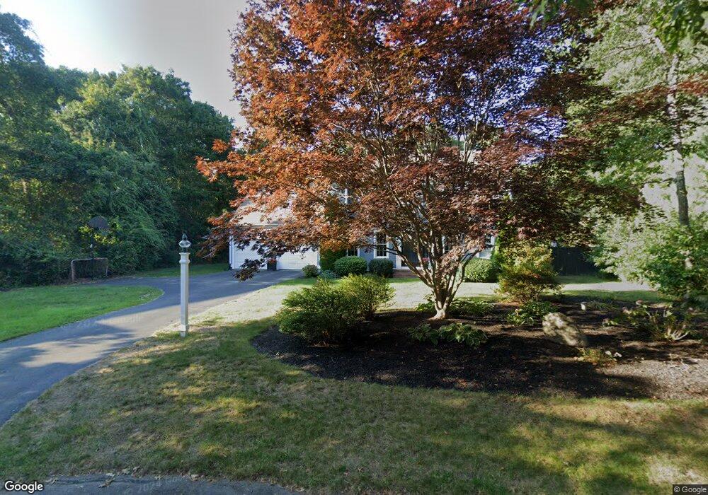
7 Pine Tree Cir Sandwich, MA 02563
Estimated Value: $765,000 - $901,000
4
Beds
3
Baths
2,406
Sq Ft
$342/Sq Ft
Est. Value
About This Home
This home is located at 7 Pine Tree Cir, Sandwich, MA 02563 and is currently estimated at $822,630, approximately $341 per square foot. 7 Pine Tree Cir is a home located in Barnstable County with nearby schools including Sandwich Middle High School and Sandwich Montessori School.
Ownership History
Date
Name
Owned For
Owner Type
Purchase Details
Closed on
Jul 2, 2012
Sold by
Layo Terry R and Layo Kimberly M
Bought by
Layo Terry R and Layo Kimberly M
Current Estimated Value
Purchase Details
Closed on
Aug 1, 1997
Sold by
Fitzpatrick Home Bldg
Bought by
Layo Terry R
Purchase Details
Closed on
May 5, 1997
Sold by
Hoover Jack C and Hoover Mary E
Bought by
Fitzpatrick Home Bldg
Create a Home Valuation Report for This Property
The Home Valuation Report is an in-depth analysis detailing your home's value as well as a comparison with similar homes in the area
Purchase History
| Date | Buyer | Sale Price | Title Company |
|---|---|---|---|
| Layo Terry R | -- | -- | |
| Layo Terry R | $202,153 | -- | |
| Fitzpatrick Home Bldg | $45,000 | -- |
Source: Public Records
Mortgage History
| Date | Status | Borrower | Loan Amount |
|---|---|---|---|
| Previous Owner | Fitzpatrick Home Bldg | $290,500 | |
| Previous Owner | Fitzpatrick Home Bldg | $75,000 |
Source: Public Records
Tax History
| Year | Tax Paid | Tax Assessment Tax Assessment Total Assessment is a certain percentage of the fair market value that is determined by local assessors to be the total taxable value of land and additions on the property. | Land | Improvement |
|---|---|---|---|---|
| 2025 | $7,725 | $730,800 | $164,600 | $566,200 |
| 2024 | $7,642 | $707,600 | $147,000 | $560,600 |
| 2023 | $7,483 | $650,700 | $133,700 | $517,000 |
| 2022 | $6,951 | $528,200 | $119,300 | $408,900 |
| 2021 | $6,616 | $480,500 | $114,700 | $365,800 |
| 2020 | $6,711 | $469,000 | $118,000 | $351,000 |
| 2019 | $6,357 | $443,900 | $115,800 | $328,100 |
| 2018 | $6,010 | $420,600 | $111,800 | $308,800 |
| 2017 | $5,909 | $395,800 | $108,200 | $287,600 |
| 2016 | $5,664 | $391,400 | $107,100 | $284,300 |
| 2015 | $5,563 | $375,400 | $96,500 | $278,900 |
Source: Public Records
Map
Nearby Homes
- 48 Holly Ridge Dr
- 36 Moon Compass Ln
- 24 Widow Coombs Walk
- 2 Open Space Dr
- 19 Oriole Ln
- 16 Newtown Rd
- 315 Blackthorn Rd
- 58 Southpoint Dr Unit J
- 9 Viking Ln
- 113 Farmersville Rd
- 35 Santuit Pond Way Unit 7B
- 544 Cotuit Rd
- 82 Old Fields Rd
- 318 Old Mill Rd
- 28 Spinnaker St
- 6 George Gallant Rd
- 93 Deerfield Rd
- 68 Fox Hill Rd
- 22 Candlewood Ln
- 10 Candlewood Ln
- 5 Pine Tree Cir
- 8 Pine Tree Cir
- 6 Fairway Cir
- 6 Pine Tree Cir
- 3 Pine Tree Cir
- 10 Inkberry Cir
- 8 Fairway Cir
- 4 Fairway Cir
- 4 Pine Tree Cir
- 8 Greenview Cir
- 8 Inkberry Cir
- 7 Inkberry Cir
- 10 Greenview Cir
- 1 Pine Tree Cir
- 2 Fairway Cir
- 9 Bunker Cir
- 45 Holly Ridge Dr
- 7 Bunker Cir
- 9 Fairway Cir
- 47 Holly Ridge Dr
Your Personal Tour Guide
Ask me questions while you tour the home.