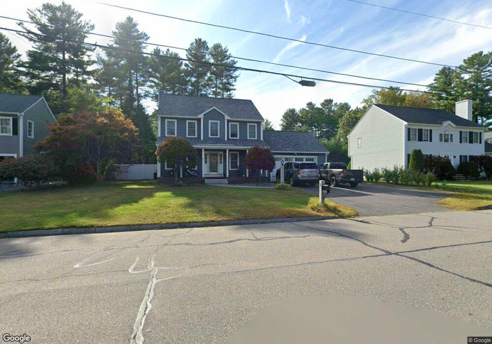
7 Pinebrook Rd Nashua, NH 03062
Southwest Nashua NeighborhoodEstimated Value: $752,472 - $811,000
3
Beds
3
Baths
2,116
Sq Ft
$368/Sq Ft
Est. Value
About This Home
This home is located at 7 Pinebrook Rd, Nashua, NH 03062 and is currently estimated at $778,368, approximately $367 per square foot. 7 Pinebrook Rd is a home located in Hillsborough County with nearby schools including Bicentennial Elementary School, Fairgrounds Middle School, and Nashua High School South.
Ownership History
Date
Name
Owned For
Owner Type
Purchase Details
Closed on
Nov 21, 2019
Sold by
Bryson Alan A and Byrson Kum Y
Bought by
Linscott Timothy and Linscott Linda
Current Estimated Value
Home Financials for this Owner
Home Financials are based on the most recent Mortgage that was taken out on this home.
Original Mortgage
$305,250
Outstanding Balance
$265,041
Interest Rate
3.5%
Mortgage Type
FHA
Estimated Equity
$513,327
Purchase Details
Closed on
May 25, 1993
Bought by
Bryson Alan A and Kum Ye
Create a Home Valuation Report for This Property
The Home Valuation Report is an in-depth analysis detailing your home's value as well as a comparison with similar homes in the area
Home Values in the Area
Average Home Value in this Area
Purchase History
| Date | Buyer | Sale Price | Title Company |
|---|---|---|---|
| Linscott Timothy | $429,000 | -- | |
| Bryson Alan A | $160,000 | -- |
Source: Public Records
Mortgage History
| Date | Status | Borrower | Loan Amount |
|---|---|---|---|
| Open | Linscott Timothy | $305,250 |
Source: Public Records
Tax History
| Year | Tax Paid | Tax Assessment Tax Assessment Total Assessment is a certain percentage of the fair market value that is determined by local assessors to be the total taxable value of land and additions on the property. | Land | Improvement |
|---|---|---|---|---|
| 2025 | $10,517 | $624,900 | $170,400 | $454,500 |
| 2024 | $9,936 | $624,900 | $170,400 | $454,500 |
| 2023 | $9,481 | $520,100 | $136,300 | $383,800 |
| 2022 | $9,398 | $520,100 | $136,300 | $383,800 |
| 2021 | $8,940 | $385,000 | $109,000 | $276,000 |
| 2020 | $8,705 | $385,000 | $109,000 | $276,000 |
| 2019 | $8,378 | $385,000 | $109,000 | $276,000 |
| 2018 | $8,166 | $385,000 | $109,000 | $276,000 |
| 2017 | $7,985 | $309,600 | $89,100 | $220,500 |
| 2016 | $7,762 | $309,600 | $89,100 | $220,500 |
| 2015 | $7,594 | $309,600 | $89,100 | $220,500 |
| 2014 | $7,446 | $309,600 | $89,100 | $220,500 |
Source: Public Records
Map
Nearby Homes
- 141 Ridge Rd
- 1 Doucet Ave
- 77 Wilderness Dr
- 58 Wilderness Dr
- 2 Wilderness Dr
- 4 Wilderness Dr
- 79 Wilderness Dr
- 3 Wilderness Dr
- 7 Wilderness Dr
- 6 Wilderness Dr
- 57 Wilderness Dr
- 4 Hikers Ln
- 8 Hikers Ln
- 59 Wilderness Dr
- 8 Wilderness Dr
- 61 Wilderness Dr
- 13 Wilderness Dr
- 15 Wilderness Dr
- 11 Lojko Dr
- 20 Georgetown Dr
- 9 Pinebrook Rd
- 5 Pinebrook Rd
- 4 Pinebrook Rd
- 6 Pinebrook Rd
- 3 Pinebrook Rd
- 135 Ridge Rd
- 2 Tall Pine Cir
- 137 Ridge Rd
- 11 Pinebrook Rd
- 3 Tall Pine Cir
- 48 Pinebrook Rd
- 133 Ridge Rd
- 5 Tall Pine Cir
- 139 Ridge Rd
- 46 Pinebrook Rd
- 46 Wilderness Dr Unit Derby 2
- 4 Tall Pine Cir
- 8 Pinebrook Rd
- 10 Pinebrook Rd
- 15 Pinebrook Rd
Your Personal Tour Guide
Ask me questions while you tour the home.