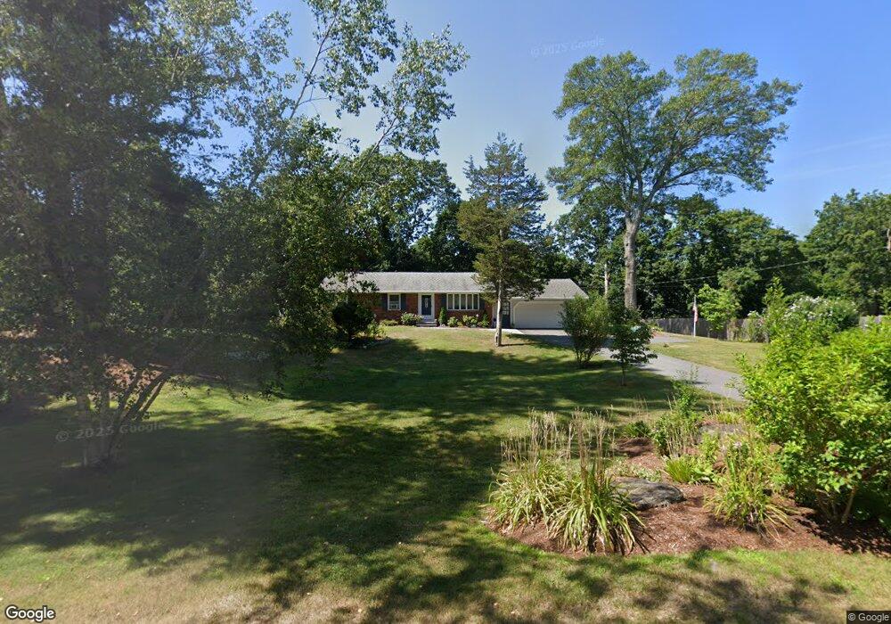
7 Pocahontas Ln Unit 1 Attleboro, MA 02703
Estimated Value: $518,000 - $559,000
3
Beds
1
Bath
1,232
Sq Ft
$439/Sq Ft
Est. Value
About This Home
This home is located at 7 Pocahontas Ln Unit 1, Attleboro, MA 02703 and is currently estimated at $540,956, approximately $439 per square foot. 7 Pocahontas Ln Unit 1 is a home located in Bristol County with nearby schools including Hyman Fine Elementary School, Wamsutta Middle School, and Attleboro High School.
Ownership History
Date
Name
Owned For
Owner Type
Purchase Details
Closed on
Nov 3, 1988
Sold by
Ford Wallace E
Bought by
Doeg Robert
Current Estimated Value
Home Financials for this Owner
Home Financials are based on the most recent Mortgage that was taken out on this home.
Original Mortgage
$116,000
Interest Rate
10.33%
Mortgage Type
Purchase Money Mortgage
Create a Home Valuation Report for This Property
The Home Valuation Report is an in-depth analysis detailing your home's value as well as a comparison with similar homes in the area
Home Values in the Area
Average Home Value in this Area
Purchase History
| Date | Buyer | Sale Price | Title Company |
|---|---|---|---|
| Doeg Robert | $145,000 | -- |
Source: Public Records
Mortgage History
| Date | Status | Borrower | Loan Amount |
|---|---|---|---|
| Closed | Doeg Robert | $116,000 |
Source: Public Records
Tax History Compared to Growth
Tax History
| Year | Tax Paid | Tax Assessment Tax Assessment Total Assessment is a certain percentage of the fair market value that is determined by local assessors to be the total taxable value of land and additions on the property. | Land | Improvement |
|---|---|---|---|---|
| 2025 | $5,950 | $474,100 | $189,500 | $284,600 |
| 2024 | $6,006 | $471,800 | $208,300 | $263,500 |
| 2023 | $5,612 | $409,900 | $182,900 | $227,000 |
| 2022 | $5,222 | $361,400 | $161,700 | $199,700 |
| 2021 | $4,817 | $325,500 | $155,500 | $170,000 |
| 2020 | $4,621 | $317,400 | $147,500 | $169,900 |
| 2019 | $4,414 | $311,700 | $144,700 | $167,000 |
| 2018 | $4,323 | $291,700 | $140,500 | $151,200 |
| 2017 | $4,107 | $282,300 | $146,100 | $136,200 |
| 2016 | $3,813 | $257,300 | $136,500 | $120,800 |
| 2015 | $3,810 | $259,000 | $136,500 | $122,500 |
| 2014 | $3,573 | $240,600 | $131,300 | $109,300 |
Source: Public Records
Map
Nearby Homes
- 8 Preservation Way
- 38 Springdale Ave
- 44 Winterberry Ln
- 125 Steere St
- 60 Metacommett Dr
- 8 Kasmira Way
- 7 Stevens Field Rd
- 3 Wilmarth St
- 1325 Park St
- 0 Sunflower Dr
- 19 Cherry Tree Ln
- 86 Woodstock Rd
- 240 Smith St
- 45 Spruce Ln
- 99 Brigham Hill Rd
- 180 Pike Ave
- 55 Sturdy St
- 278 East St
- 182 John Scott Blvd
- 53 Sturdy St