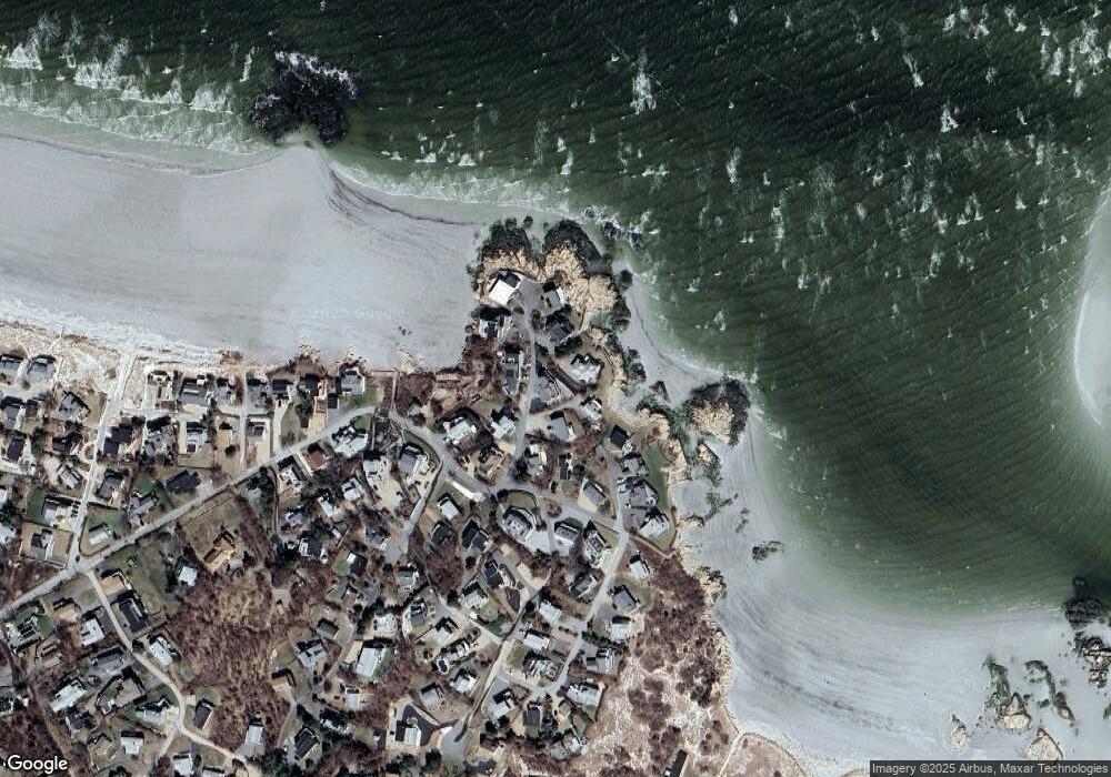
7 Point Rd Gloucester, MA 01930
West Gloucester NeighborhoodEstimated Value: $2,182,000 - $2,456,614
1
Bed
1
Bath
650
Sq Ft
$3,568/Sq Ft
Est. Value
About This Home
This home is located at 7 Point Rd, Gloucester, MA 01930 and is currently estimated at $2,319,307, approximately $3,568 per square foot. 7 Point Rd is a home located in Essex County with nearby schools including West Parish, Ralph B O'maley Middle School, and Gloucester High School.
Create a Home Valuation Report for This Property
The Home Valuation Report is an in-depth analysis detailing your home's value as well as a comparison with similar homes in the area
Home Values in the Area
Average Home Value in this Area
Tax History
| Year | Tax Paid | Tax Assessment Tax Assessment Total Assessment is a certain percentage of the fair market value that is determined by local assessors to be the total taxable value of land and additions on the property. | Land | Improvement |
|---|---|---|---|---|
| 2025 | $19,608 | $2,017,300 | $1,184,800 | $832,500 |
| 2024 | $19,004 | $1,953,100 | $1,127,800 | $825,300 |
| 2023 | $18,661 | $1,762,100 | $962,200 | $799,900 |
| 2022 | $15,436 | $1,315,900 | $705,200 | $610,700 |
| 2021 | $14,916 | $1,199,000 | $640,800 | $558,200 |
| 2020 | $14,395 | $1,167,500 | $640,800 | $526,700 |
| 2019 | $13,594 | $1,071,200 | $611,000 | $460,200 |
| 2018 | $12,977 | $1,003,600 | $596,000 | $407,600 |
| 2017 | $12,614 | $956,300 | $567,900 | $388,400 |
| 2016 | $12,087 | $888,100 | $542,900 | $345,200 |
| 2015 | $11,810 | $865,200 | $530,500 | $334,700 |
Source: Public Records
Map
Nearby Homes
- 226 Atlantic St
- 178 Atlantic St
- 167 Atlantic St
- 672 Washington St
- 2 Breezy Point Rd
- 13 Honeysuckle Rd
- 3 Deacon Farm Ln
- 7 Colburn St
- 31 Echo Ave
- 1030 Washington St
- 43 High St Unit B
- 10 Emerald St
- 13 Mystic Ave
- 8 Mystic Ave
- 7 Leaman Dr
- 5 Samoset Rd Unit B
- 6 Monroe Ct
- 98 Maplewood Ave
- 145 Essex Ave Unit 402
- 9 Cleveland Place
Your Personal Tour Guide
Ask me questions while you tour the home.