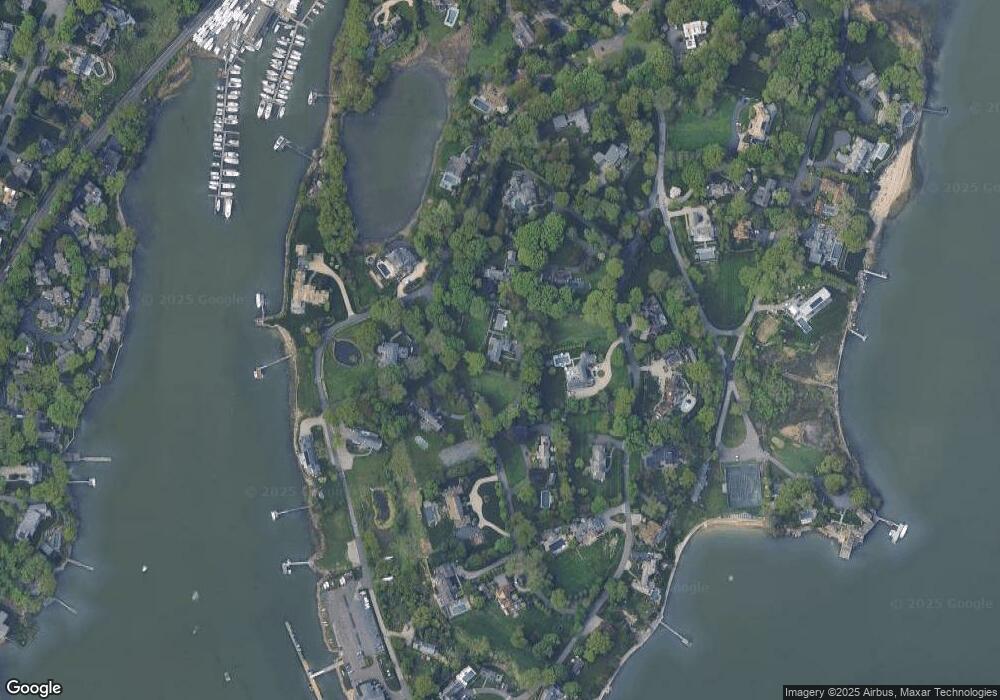
7 Point Rd Norwalk, CT 06854
South Norwalk NeighborhoodEstimated Value: $2,758,000 - $3,065,000
4
Beds
4
Baths
3,510
Sq Ft
$815/Sq Ft
Est. Value
About This Home
This home is located at 7 Point Rd, Norwalk, CT 06854 and is currently estimated at $2,859,684, approximately $814 per square foot. 7 Point Rd is a home located in Fairfield County with nearby schools including Rowayton Elementary School, Roton Middle School, and Brien Mcmahon High School.
Ownership History
Date
Name
Owned For
Owner Type
Purchase Details
Closed on
Jul 13, 2009
Sold by
Nagler Willibald
Bought by
Nagler Christian O and Nagler Tasha M
Current Estimated Value
Home Financials for this Owner
Home Financials are based on the most recent Mortgage that was taken out on this home.
Original Mortgage
$625,500
Interest Rate
4.93%
Create a Home Valuation Report for This Property
The Home Valuation Report is an in-depth analysis detailing your home's value as well as a comparison with similar homes in the area
Home Values in the Area
Average Home Value in this Area
Purchase History
| Date | Buyer | Sale Price | Title Company |
|---|---|---|---|
| Nagler Christian O | $1,700,000 | -- | |
| Nagler Christian O | $1,700,000 | -- |
Source: Public Records
Mortgage History
| Date | Status | Borrower | Loan Amount |
|---|---|---|---|
| Open | Nagler Christian O | $500,000 | |
| Closed | Nagler Christian O | $590,000 | |
| Closed | Nagler Christian O | $625,500 | |
| Closed | Nagler Christian O | $575,000 |
Source: Public Records
Tax History
| Year | Tax Paid | Tax Assessment Tax Assessment Total Assessment is a certain percentage of the fair market value that is determined by local assessors to be the total taxable value of land and additions on the property. | Land | Improvement |
|---|---|---|---|---|
| 2025 | $38,121 | $1,605,790 | $917,280 | $688,510 |
| 2024 | $37,535 | $1,605,790 | $917,280 | $688,510 |
| 2023 | $29,251 | $1,171,624 | $678,311 | $493,313 |
| 2022 | $28,792 | $1,171,634 | $678,321 | $493,313 |
| 2021 | $24,499 | $1,171,624 | $678,311 | $493,313 |
| 2020 | $27,657 | $1,171,624 | $678,311 | $493,313 |
| 2019 | $26,711 | $1,171,624 | $678,311 | $493,313 |
| 2018 | $29,421 | $1,134,640 | $724,510 | $410,130 |
| 2017 | $28,393 | $1,134,640 | $724,510 | $410,130 |
| 2016 | $28,865 | $1,134,640 | $724,510 | $410,130 |
| 2015 | $24,520 | $1,073,070 | $724,520 | $348,550 |
| 2014 | $26,870 | $1,073,070 | $724,520 | $348,550 |
Source: Public Records
Map
Nearby Homes
- 3 Hilltop Rd
- 40 Tory Hill Ln
- 9 Flicker Ln
- 22 Harstrom Place
- 24 Westmere Ave
- 166 Rowayton Ave Unit 2
- 5 Little Brook Rd
- 5 Outer Rd
- 133 Rowayton Woods Dr
- 6 Richmond Rd
- 31 Splitrock Rd
- 40 Arnold Ln
- 9 Arnold Ln
- 14 5 Mile River Rd
- 6 Acorn Ln
- 176 Bouton St
- 8 Oliver St
- 9 Hollow Spring Rd
- 18 Auburn St
- 17 Contentment Island Rd