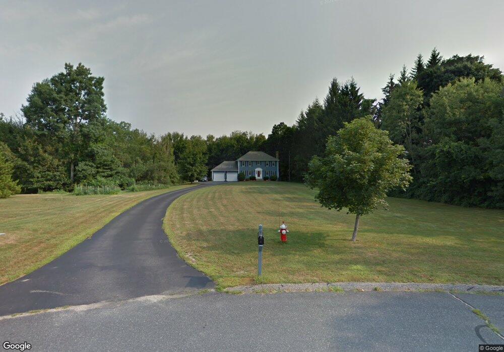
7 Regan Cir West Boylston, MA 01583
Estimated Value: $636,000 - $890,000
4
Beds
3
Baths
1,976
Sq Ft
$362/Sq Ft
Est. Value
About This Home
This home is located at 7 Regan Cir, West Boylston, MA 01583 and is currently estimated at $714,429, approximately $361 per square foot. 7 Regan Cir is a home located in Worcester County with nearby schools including Major Edwards Elementary School and West Boylston Junior/Senior High School.
Ownership History
Date
Name
Owned For
Owner Type
Purchase Details
Closed on
Jun 30, 1994
Sold by
C B Blair Dev Corp
Bought by
Wall Sean M and Wall Kathleen
Current Estimated Value
Home Financials for this Owner
Home Financials are based on the most recent Mortgage that was taken out on this home.
Original Mortgage
$130,000
Interest Rate
8.55%
Mortgage Type
Purchase Money Mortgage
Create a Home Valuation Report for This Property
The Home Valuation Report is an in-depth analysis detailing your home's value as well as a comparison with similar homes in the area
Home Values in the Area
Average Home Value in this Area
Purchase History
| Date | Buyer | Sale Price | Title Company |
|---|---|---|---|
| Wall Sean M | $199,525 | -- |
Source: Public Records
Mortgage History
| Date | Status | Borrower | Loan Amount |
|---|---|---|---|
| Open | Wall Sean M | $100,000 | |
| Closed | Wall Sean M | $130,000 |
Source: Public Records
Tax History Compared to Growth
Tax History
| Year | Tax Paid | Tax Assessment Tax Assessment Total Assessment is a certain percentage of the fair market value that is determined by local assessors to be the total taxable value of land and additions on the property. | Land | Improvement |
|---|---|---|---|---|
| 2025 | $90 | $650,100 | $131,800 | $518,300 |
| 2024 | $8,745 | $591,700 | $134,000 | $457,700 |
| 2023 | $8,482 | $544,400 | $131,800 | $412,600 |
| 2022 | $8,241 | $466,100 | $131,800 | $334,300 |
| 2021 | $7,965 | $431,500 | $109,100 | $322,400 |
| 2020 | $7,503 | $403,800 | $109,100 | $294,700 |
| 2019 | $7,122 | $377,800 | $109,100 | $268,700 |
| 2018 | $6,799 | $363,200 | $109,100 | $254,100 |
| 2017 | $6,738 | $358,400 | $109,100 | $249,300 |
| 2016 | $6,557 | $355,400 | $101,700 | $253,700 |
| 2015 | $6,459 | $352,200 | $100,900 | $251,300 |
Source: Public Records
Map
Nearby Homes
- 20 Winthrop St
- 136 Sterling St Unit A3
- 23 Western Ave
- 16 N Main St
- 127 N Main St
- 18 Laurel Ave
- 15 Myrtle Ave
- 2 Lakeview Ave
- 54 Maple St
- 287 Laurel St
- 0 Boutelle Rd
- 61 Boutelle Rd
- 223 Worcester Rd
- 39 Davidson Rd
- 43 Chace Hill Rd
- 0 North St
- 15 N Cove Rd
- 1 Highland Ave
- 4 Jewett Rd Unit B
- 4 Jewett Rd Unit A