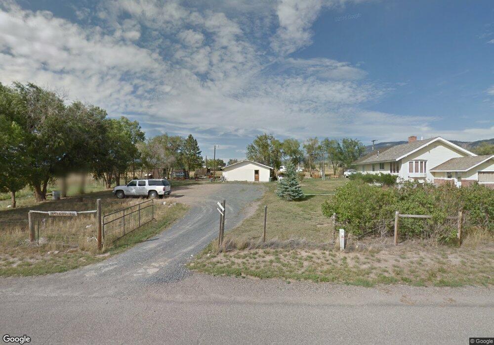
7 Robbins Ln Unit Whitehall Whitehall, MT 59759
Estimated Value: $331,000 - $499,000
2
Beds
2
Baths
1,160
Sq Ft
$340/Sq Ft
Est. Value
About This Home
This home is located at 7 Robbins Ln Unit Whitehall, Whitehall, MT 59759 and is currently estimated at $394,747, approximately $340 per square foot. 7 Robbins Ln Unit Whitehall is a home located in Jefferson County with nearby schools including Whitehall Elementary School, Whitehall Middle School, and Whitehall High School.
Ownership History
Date
Name
Owned For
Owner Type
Purchase Details
Closed on
Apr 1, 2009
Sold by
Deutsche Bank National Trust Co
Bought by
Johnson Samuel J and Johnson Kathi M
Current Estimated Value
Home Financials for this Owner
Home Financials are based on the most recent Mortgage that was taken out on this home.
Original Mortgage
$112,917
Outstanding Balance
$70,921
Interest Rate
4.82%
Mortgage Type
FHA
Estimated Equity
$323,826
Purchase Details
Closed on
Nov 10, 2005
Sold by
Labair Lawrence R and Labair Glenda C
Bought by
Chaput Joseph R and Chaput Kathlyn A
Home Financials for this Owner
Home Financials are based on the most recent Mortgage that was taken out on this home.
Original Mortgage
$32,600
Interest Rate
5.97%
Mortgage Type
Stand Alone Second
Create a Home Valuation Report for This Property
The Home Valuation Report is an in-depth analysis detailing your home's value as well as a comparison with similar homes in the area
Home Values in the Area
Average Home Value in this Area
Purchase History
| Date | Buyer | Sale Price | Title Company |
|---|---|---|---|
| Johnson Samuel J | -- | First American Title Company | |
| Chaput Joseph R | -- | None Available |
Source: Public Records
Mortgage History
| Date | Status | Borrower | Loan Amount |
|---|---|---|---|
| Open | Johnson Samuel J | $112,917 | |
| Previous Owner | Chaput Joseph R | $32,600 | |
| Previous Owner | Chaput Joseph R | $130,400 |
Source: Public Records
Tax History Compared to Growth
Tax History
| Year | Tax Paid | Tax Assessment Tax Assessment Total Assessment is a certain percentage of the fair market value that is determined by local assessors to be the total taxable value of land and additions on the property. | Land | Improvement |
|---|---|---|---|---|
| 2025 | $1,983 | $451,900 | $0 | $0 |
| 2024 | $2,093 | $328,000 | $0 | $0 |
| 2023 | $2,215 | $328,000 | $0 | $0 |
| 2022 | $1,492 | $188,100 | $0 | $0 |
| 2021 | $1,279 | $188,100 | $0 | $0 |
| 2020 | $1,426 | $180,700 | $0 | $0 |
| 2019 | $1,426 | $180,700 | $0 | $0 |
| 2018 | $1,287 | $158,300 | $0 | $0 |
| 2017 | $1,215 | $158,300 | $0 | $0 |
| 2016 | $1,046 | $138,400 | $0 | $0 |
| 2015 | $927 | $138,400 | $0 | $0 |
| 2014 | $691 | $59,148 | $0 | $0 |
Source: Public Records
Map
Nearby Homes
- 10 Honor Ln
- 76 First Rd
- 23 Holdsworth Rd
- 131 Yellowstone Trail
- 209 2nd St E
- 217 N Jefferson St
- 304 N Brooke St
- 307 1st St W
- 307 W Legion St
- 201 S Brooke St
- 505 1st St W
- 306 W Olive St
- 27 N Centurion Way
- 18 S Centurion Way
- 47 N Centurion Way
- TBD Sheep Camp Rd
- 1043 Montana 55
- 915 Point of Rocks Rd
- 107 Mayflower Rd
- 21 Ryan Rd
- 33 Robbins Ln
- 37 Robbins Ln
- 5 Sunny Slope
- 25 Robbins Ln
- 46 East St
- 11 Robbins Ln
- 77 Yellowstone Trail
- 53 Robbins Ln
- 45 Sunny Slope
- 10 Sunny Slope Divide Unit 2
- 11 Sunny Slope
- 91 East St
- 3 East St
- TBD Robbins Ln
- 40 East St
- 2 East St
- 63 Yellowstone Trail
- 30 East St
- 57 Yellowstone Trail
- 72 Yellowstone Trail