7 Roberts Rd Dover, NH 03820
Dover Point NeighborhoodEstimated Value: $513,000 - $590,000
4
Beds
2
Baths
1,260
Sq Ft
$431/Sq Ft
Est. Value
About This Home
This home is located at 7 Roberts Rd, Dover, NH 03820 and is currently estimated at $542,876, approximately $430 per square foot. 7 Roberts Rd is a home located in Strafford County with nearby schools including Garrison School, Dover Middle School, and Dover Senior High School.
Ownership History
Date
Name
Owned For
Owner Type
Purchase Details
Closed on
Jul 1, 2016
Sold by
Burke Richard E and Burke Rhonda S
Bought by
Gobbi Patrick T and Gobbi Judith H
Current Estimated Value
Home Financials for this Owner
Home Financials are based on the most recent Mortgage that was taken out on this home.
Original Mortgage
$233,750
Outstanding Balance
$186,603
Interest Rate
3.58%
Mortgage Type
Purchase Money Mortgage
Estimated Equity
$356,273
Create a Home Valuation Report for This Property
The Home Valuation Report is an in-depth analysis detailing your home's value as well as a comparison with similar homes in the area
Home Values in the Area
Average Home Value in this Area
Purchase History
| Date | Buyer | Sale Price | Title Company |
|---|---|---|---|
| Gobbi Patrick T | $275,000 | -- |
Source: Public Records
Mortgage History
| Date | Status | Borrower | Loan Amount |
|---|---|---|---|
| Open | Gobbi Patrick T | $233,750 |
Source: Public Records
Tax History Compared to Growth
Tax History
| Year | Tax Paid | Tax Assessment Tax Assessment Total Assessment is a certain percentage of the fair market value that is determined by local assessors to be the total taxable value of land and additions on the property. | Land | Improvement |
|---|---|---|---|---|
| 2024 | $9,025 | $496,700 | $196,200 | $300,500 |
| 2023 | $7,899 | $422,400 | $158,400 | $264,000 |
| 2022 | $7,706 | $388,400 | $150,200 | $238,200 |
| 2021 | $7,402 | $341,100 | $133,800 | $207,300 |
| 2020 | $7,231 | $291,000 | $121,600 | $169,400 |
| 2019 | $7,144 | $283,600 | $117,500 | $166,100 |
| 2018 | $6,781 | $272,100 | $113,400 | $158,700 |
| 2017 | $6,392 | $247,100 | $93,000 | $154,100 |
| 2016 | $6,120 | $232,800 | $92,700 | $140,100 |
| 2015 | $5,985 | $224,900 | $79,900 | $145,000 |
| 2014 | $5,961 | $229,200 | $84,200 | $145,000 |
| 2011 | $4,878 | $194,200 | $75,000 | $119,200 |
Source: Public Records
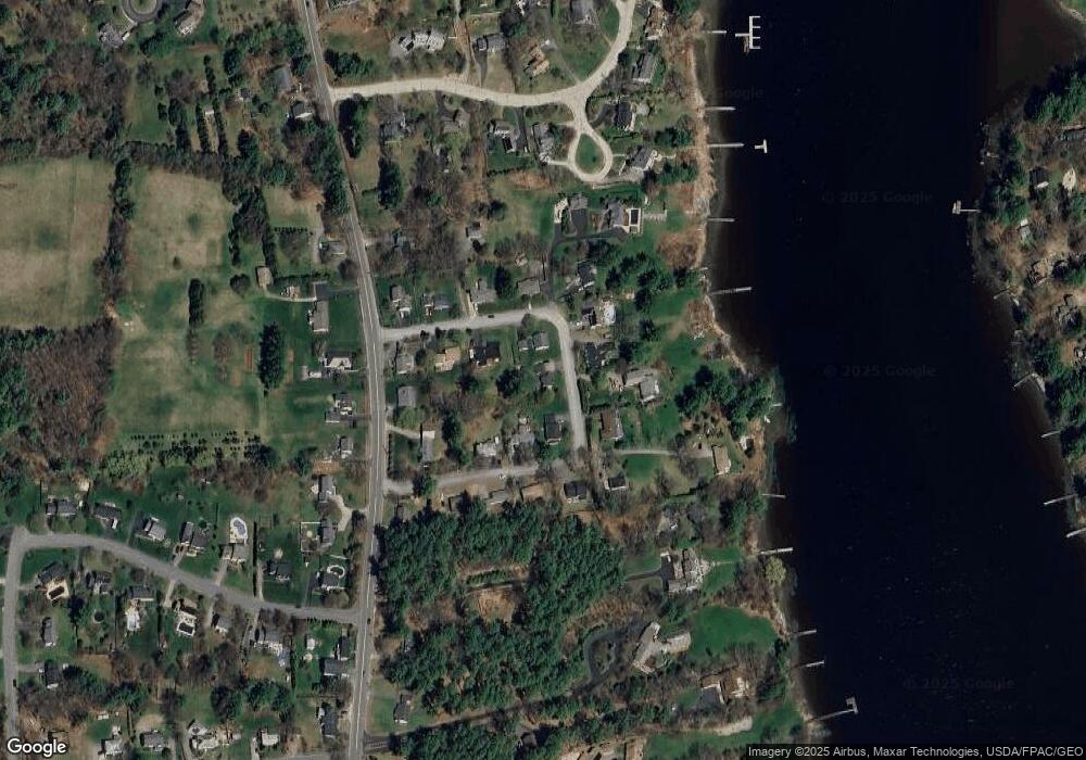
Map
Nearby Homes
- 25 Shore Ln
- Slip B18 Little Bay
- 4 Shore Ln
- 25 Fosters Dr
- 708 River Rd Unit 3
- 708 River Rd Unit 2
- 59 Clearwater Dr
- 0 Cote Dr
- 348 Dover Point Rd
- 354 Dover Point Rd
- 245 Piscataqua Rd
- 27 Wentworth Terrace
- 30 Cedar Point Rd
- 18 Governor Hill Rd
- 1708 State Rd
- 130 Dover Point Rd
- 33 Little Bay Dr
- 126 Dover Point Rd
- 18 Little Bay Dr
- SLIP 15 Little Bay Marina