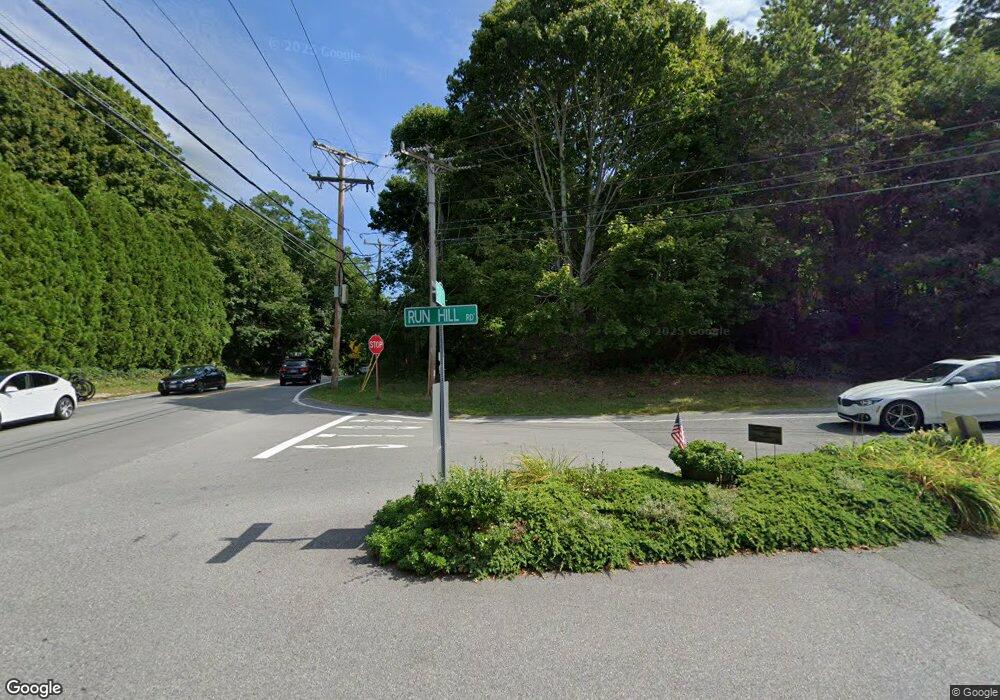
7 Run Hill Rd Brewster, MA 2631
Estimated Value: $414,000 - $520,000
Studio
--
Bath
--
Sq Ft
1.56
Acres Lot
About This Home
This home is located at 7 Run Hill Rd, Brewster, MA 2631 and is currently estimated at $476,000. 7 Run Hill Rd is a home located in Barnstable County with nearby schools including Stony Brook Elementary School, Eddy Elementary School, and Nauset Regional Middle School.
Ownership History
Date
Name
Owned For
Owner Type
Purchase Details
Closed on
Dec 18, 2024
Sold by
Platts Christopher and Platts Gillian
Bought by
Dileonardo Pietro and Dileonardo Helen M
Current Estimated Value
Home Financials for this Owner
Home Financials are based on the most recent Mortgage that was taken out on this home.
Original Mortgage
$363,750
Outstanding Balance
$359,906
Interest Rate
7.99%
Mortgage Type
Purchase Money Mortgage
Estimated Equity
$116,094
Purchase Details
Closed on
Jun 2, 2021
Sold by
Elizabeth A Nahill T A and Elizabeth Nahill
Bought by
Platts Christopher and Platts Gillian
Purchase Details
Closed on
Nov 30, 2007
Sold by
Nahill Elizabeth
Bought by
Elizabeth A Nahill and Elizabeth Nahill
Create a Home Valuation Report for This Property
The Home Valuation Report is an in-depth analysis detailing your home's value as well as a comparison with similar homes in the area
Home Values in the Area
Average Home Value in this Area
Purchase History
We collect this data history from publicly available records. To have your information removed, we recommend requesting removal directly through your county’s website.
| Date | Buyer | Sale Price | Title Company |
|---|---|---|---|
| Dileonardo Pietro | $500,000 | None Available | |
| Dileonardo Pietro | $500,000 | None Available | |
| Platts Christopher | $435,000 | None Available | |
| Platts Christopher | $435,000 | None Available | |
| Elizabeth A Nahill | -- | -- | |
| Elizabeth A Nahill T A | -- | -- | |
| Elizabeth A Nahill T A | -- | -- |
Source: Public Records
Mortgage History
We collect this data history from publicly available records. To have your information removed, we recommend requesting removal directly through your county’s website.
| Date | Status | Borrower | Loan Amount |
|---|---|---|---|
| Open | Dileonardo Pietro | $363,750 | |
| Closed | Dileonardo Pietro | $363,750 |
Source: Public Records
Tax History
| Year | Tax Paid | Tax Assessment Tax Assessment Total Assessment is a certain percentage of the fair market value that is determined by local assessors to be the total taxable value of land and additions on the property. | Land | Improvement |
|---|---|---|---|---|
| 2025 | $3,573 | $519,400 | $519,400 | $0 |
| 2024 | $3,338 | $490,100 | $490,100 | $0 |
| 2023 | $3,058 | $437,500 | $437,500 | $0 |
| 2022 | $3,197 | $407,300 | $407,300 | $0 |
| 2021 | $3,038 | $354,100 | $354,100 | $0 |
| 2020 | $3,052 | $354,100 | $354,100 | $0 |
| 2019 | $2,923 | $340,700 | $340,700 | $0 |
| 2018 | $2,518 | $304,800 | $304,800 | $0 |
| 2017 | $2,557 | $304,800 | $304,800 | $0 |
| 2016 | $2,520 | $298,900 | $298,900 | $0 |
| 2015 | $2,420 | $293,000 | $293,000 | $0 |
Source: Public Records
Map
Nearby Homes
- 0 Ridgewood Dr
- 98 Leland Rd
- 0 Canoe Pond Dr
- 309 Great Fields Rd
- 80 Abby Rd
- 186 Canoe Pond Dr
- 182 Ambergris Cir
- 279 Alden Dr
- -0- Ambergris Cir
- 0 Ambergris Cir
- 1580 Main St
- 84 Alden Dr
- 232 Robbins Hill Rd
- 46 Trout Pond Ln
- 10 Park Ln
- 147 Brook Trail Rd
- 1861 Main St
- 9 Cockle Way Unit 9
- 9 Cockle Way
- 11 Juniper Cir Unit 11
- 41 Run Hill Rd
- 4 Run Hill Rd
- 909 Stony Brook Rd
- 0 Run Hill Rd
- 955 Stony Brook Rd
- 37 Run Hill Rd
- 939 Stony Brook Rd
- 32 Run Hill Rd
- 32 Old Run Hill Rd
- 32 Old Run Hill Rd
- 962 Stony Brook Rd
- 9 Paines Creek Rd
- 917 Stony Brook Rd
- 83 Run Hill Rd
- 68 Run Hill Rd
- 842 Stony Brook Rd
- 82 Run Hill Rd
- 7 Paines Creek Rd
- 117 Run Hill Rd
- 972 Stony Brook Rd
Your Personal Tour Guide
Ask me questions while you tour the home.