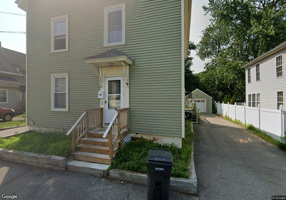
7 S Grove St Haverhill, MA 01835
Central Bradford NeighborhoodEstimated Value: $579,934 - $741,000
6
Beds
2
Baths
2,192
Sq Ft
$312/Sq Ft
Est. Value
About This Home
This home is located at 7 S Grove St, Haverhill, MA 01835 and is currently estimated at $684,234, approximately $312 per square foot. 7 S Grove St is a home located in Essex County with nearby schools including Greenleaf Academy, Bradford Elementary School, and Haverhill High School.
Ownership History
Date
Name
Owned For
Owner Type
Purchase Details
Closed on
Jun 30, 1999
Sold by
Linehan Henry Paul Est
Bought by
Witty Stephen K and Witty Michael J
Current Estimated Value
Create a Home Valuation Report for This Property
The Home Valuation Report is an in-depth analysis detailing your home's value as well as a comparison with similar homes in the area
Home Values in the Area
Average Home Value in this Area
Purchase History
| Date | Buyer | Sale Price | Title Company |
|---|---|---|---|
| Witty Stephen K | $60,000 | -- |
Source: Public Records
Mortgage History
| Date | Status | Borrower | Loan Amount |
|---|---|---|---|
| Open | Witty Stephen K | $100,000 | |
| Closed | Witty Stephen K | $25,000 | |
| Closed | Witty Stephen K | $23,000 | |
| Closed | Witty Stephen K | $101,000 |
Source: Public Records
Tax History Compared to Growth
Tax History
| Year | Tax Paid | Tax Assessment Tax Assessment Total Assessment is a certain percentage of the fair market value that is determined by local assessors to be the total taxable value of land and additions on the property. | Land | Improvement |
|---|---|---|---|---|
| 2025 | $5,318 | $496,500 | $163,300 | $333,200 |
| 2024 | $4,937 | $464,000 | $163,300 | $300,700 |
| 2023 | $4,965 | $445,300 | $163,300 | $282,000 |
| 2022 | $4,965 | $390,300 | $148,300 | $242,000 |
| 2021 | $4,717 | $351,000 | $134,800 | $216,200 |
| 2020 | $4,595 | $337,900 | $130,300 | $207,600 |
| 2019 | $4,280 | $306,800 | $119,800 | $187,000 |
| 2018 | $4,094 | $287,100 | $113,800 | $173,300 |
| 2017 | $3,780 | $252,200 | $95,900 | $156,300 |
| 2016 | $3,478 | $226,400 | $95,900 | $130,500 |
| 2015 | $3,429 | $223,400 | $92,900 | $130,500 |
Source: Public Records
Map
Nearby Homes
- 26 Elmwood Ave
- 2 S Summer St
- 190 &196 Summer St
- 30 Colby St
- 81 Middlesex St
- 41 S Lincoln St
- 4 Michael Anthony Rd
- 1 Michael Anthony Rd
- 26 Harding Ave
- 52 Summer St Unit 4
- 37 Byron St
- 1 Bartlett Ave Unit F
- 32 Harding Ave
- 8 Bartlett Ave Unit 5
- 27 Webster St
- 56 S Prospect St
- 65 Stetson St
- 47 Stetson St
- 1 New Hampshire Ave
- 420 Water St
- 5 S Grove St
- 9 S Grove St
- 3 S Grove St
- 3 S Grove St Unit 2
- 1 S Grove St
- 8 S Grove St
- 6 S Grove St
- 13 S Grove St
- 4 S Grove St
- 12 S Grove St
- 1 S Grove St
- 12 S Charles St
- 6 S Charles St
- 10 S Charles St Unit 12
- 10 S Charles St Unit 2
- 10 S Charles St
- 4 S Charles St
- 14 S Charles St
- 9 Stone Ave
- 38 S Kimball St