7 Sable Rd Unit 1 Bristol, NH 03222
Estimated Value: $288,545 - $366,000
2
Beds
1
Bath
672
Sq Ft
$486/Sq Ft
Est. Value
About This Home
This home is located at 7 Sable Rd Unit 1, Bristol, NH 03222 and is currently estimated at $326,386, approximately $485 per square foot. 7 Sable Rd Unit 1 is a home located in Grafton County with nearby schools including Bristol Elementary School.
Ownership History
Date
Name
Owned For
Owner Type
Purchase Details
Closed on
Aug 22, 2003
Sold by
Bowden Robert E and Bowden Sharon L
Bought by
Prather Daniel Lee
Current Estimated Value
Home Financials for this Owner
Home Financials are based on the most recent Mortgage that was taken out on this home.
Original Mortgage
$96,000
Outstanding Balance
$41,967
Interest Rate
5.52%
Estimated Equity
$284,420
Create a Home Valuation Report for This Property
The Home Valuation Report is an in-depth analysis detailing your home's value as well as a comparison with similar homes in the area
Home Values in the Area
Average Home Value in this Area
Purchase History
| Date | Buyer | Sale Price | Title Company |
|---|---|---|---|
| Prather Daniel Lee | $120,000 | -- |
Source: Public Records
Mortgage History
| Date | Status | Borrower | Loan Amount |
|---|---|---|---|
| Open | Prather Daniel Lee | $96,000 |
Source: Public Records
Tax History Compared to Growth
Tax History
| Year | Tax Paid | Tax Assessment Tax Assessment Total Assessment is a certain percentage of the fair market value that is determined by local assessors to be the total taxable value of land and additions on the property. | Land | Improvement |
|---|---|---|---|---|
| 2024 | $3,356 | $142,100 | $0 | $142,100 |
| 2023 | $3,233 | $142,100 | $0 | $142,100 |
| 2022 | $2,983 | $142,100 | $0 | $142,100 |
| 2021 | $2,872 | $142,100 | $0 | $142,100 |
| 2020 | $2,940 | $142,100 | $0 | $142,100 |
| 2019 | $2,921 | $128,100 | $0 | $128,100 |
| 2018 | $2,793 | $128,100 | $0 | $128,100 |
| 2017 | $2,835 | $128,100 | $0 | $128,100 |
| 2016 | $2,641 | $128,100 | $0 | $128,100 |
| 2015 | $2,492 | $123,800 | $0 | $123,800 |
| 2014 | $2,492 | $123,800 | $0 | $123,800 |
| 2013 | $2,498 | $123,800 | $0 | $123,800 |
Source: Public Records
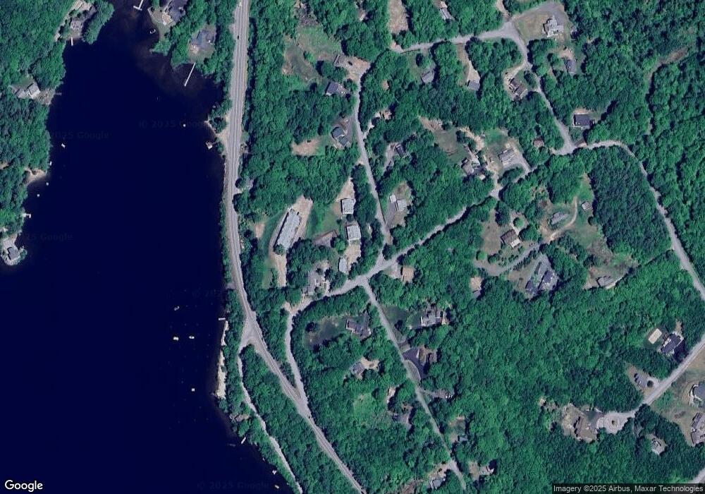
Map
Nearby Homes
- 26 Don Gerry Rd
- 94 Mandi Ln
- 35 Manor Estates Dr Unit 14
- 199 Cottage City Rd
- Lot 7 Hall Rd
- 383 Wulamat Rd
- 114 Ledgewood Terrace
- 862 Mayhew Turnpike Unit 1
- 150 Peaked Hill Rd
- 40 Adams Rd
- 00 Peaked Hill Rd Unit 7.1, 7.2, 7.3, 7.4,
- 333 Lake St
- 29 Daniels Rd
- 30 Beech St Unit 4B
- 30 Beech St Unit 4C
- 135 Pleasant St
- 125 Verrill Rd
- 4 Birchwood Dr Unit A
- 497 W Shore Rd
- 216 Jenness Hill Rd
- 15 Sable Rd
- 15 Sable Rd Unit 24
- 15 Sable Rd Unit 23
- 15 Sable Rd Unit 18
- 15 Sable Rd Unit 17
- 7 Sable Rd Unit 4
- 7 Sable Rd Unit 3
- 7 Sable Rd Unit 2
- 7 Sable Rd Unit 1
- 7 Sable Rd Unit 4
- 7 Sable Rd Unit 4
- 7 Sable Rd
- 63 Mountain View Dr
- 34 Mountain View Rd
- 25 Red Fox Rd
- 25 Red Fox Rd Unit 7
- 18 Mountain View Rd
- 25 Red Fox Rd Unit 16
- 25 Red Fox Rd Unit 15
- 25 Red Fox Rd Unit 14