7 Shadow Ridge Rd Clancy, MT 59634
Montana City NeighborhoodEstimated Value: $630,000 - $907,506
1
Bed
2
Baths
2,284
Sq Ft
$340/Sq Ft
Est. Value
About This Home
This home is located at 7 Shadow Ridge Rd, Clancy, MT 59634 and is currently estimated at $777,627, approximately $340 per square foot. 7 Shadow Ridge Rd is a home located in Jefferson County with nearby schools including Montana City Elementary School, Montana City Middle School, and Jefferson High School.
Ownership History
Date
Name
Owned For
Owner Type
Purchase Details
Closed on
Oct 31, 2025
Sold by
Emerson Adele B
Bought by
Emerson Adele B and Emerson Michael A
Current Estimated Value
Purchase Details
Closed on
Jul 24, 2007
Sold by
Boudreau Adele B
Bought by
Emerson Adele B
Home Financials for this Owner
Home Financials are based on the most recent Mortgage that was taken out on this home.
Original Mortgage
$80,000
Interest Rate
6.65%
Mortgage Type
New Conventional
Create a Home Valuation Report for This Property
The Home Valuation Report is an in-depth analysis detailing your home's value as well as a comparison with similar homes in the area
Home Values in the Area
Average Home Value in this Area
Purchase History
| Date | Buyer | Sale Price | Title Company |
|---|---|---|---|
| Emerson Adele B | -- | None Listed On Document | |
| Emerson Adele B | -- | Rocky Mountain Title |
Source: Public Records
Mortgage History
| Date | Status | Borrower | Loan Amount |
|---|---|---|---|
| Previous Owner | Emerson Adele B | $80,000 |
Source: Public Records
Tax History
| Year | Tax Paid | Tax Assessment Tax Assessment Total Assessment is a certain percentage of the fair market value that is determined by local assessors to be the total taxable value of land and additions on the property. | Land | Improvement |
|---|---|---|---|---|
| 2025 | $4,322 | $802,440 | $0 | $0 |
| 2024 | $5,157 | $712,231 | $0 | $0 |
| 2023 | $5,052 | $712,231 | $0 | $0 |
| 2022 | $3,703 | $412,335 | $0 | $0 |
| 2021 | $3,524 | $412,335 | $0 | $0 |
| 2020 | $3,713 | $411,275 | $0 | $0 |
| 2019 | $3,725 | $411,275 | $0 | $0 |
| 2018 | $3,655 | $383,187 | $0 | $0 |
| 2017 | $3,289 | $383,187 | $0 | $0 |
| 2016 | $3,264 | $359,636 | $0 | $0 |
| 2015 | $2,746 | $297,736 | $0 | $0 |
| 2014 | $2,408 | $149,745 | $0 | $0 |
Source: Public Records
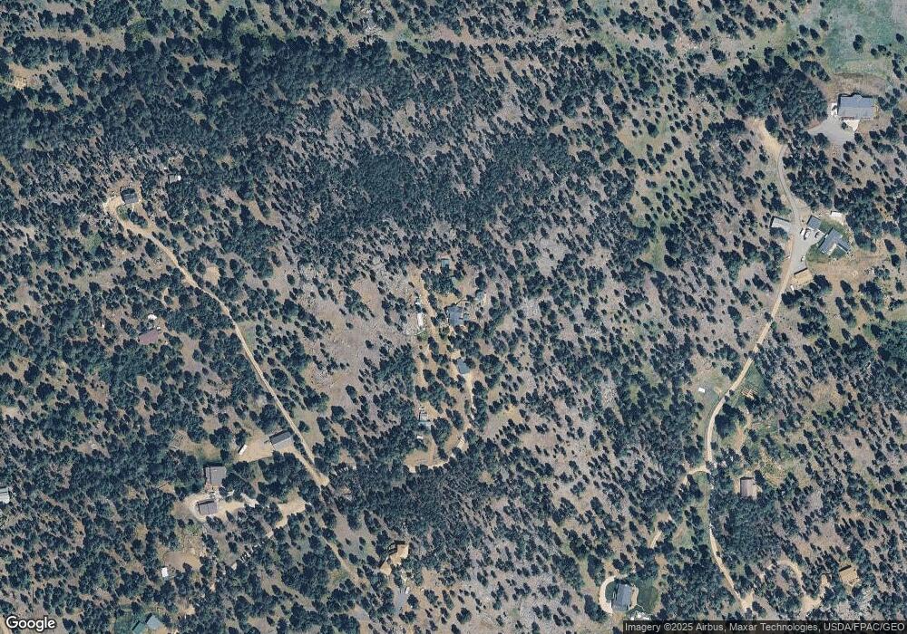
Map
Nearby Homes
- 10 Evening Star Dr
- 5 Crazy Mountain Cul de Sac
- 5 Crazy Mountain Rd
- 21 Mission Mountain Rd
- 36 Lost Trail
- 16 Evergreen Ct
- 26 Stoney Brook Dr Unit B
- 26 Stoney Brook Dr Unit D
- 26 Stoney Brook Dr Unit A
- 26 Stoney Brook Dr Unit C
- 39 Stoney Brook Dr Unit B
- 39 Stoney Brook Dr Unit A
- 39 Stoney Brook Dr Unit B
- 23 B Stoney Brook Dr Unit B
- 23 B Stoney Brook Dr Unit A
- 31 Stoney Brook Dr Unit B
- 617 McClellan Creek Rd
- 41 Sleepy Hollow Ln
- 1196 Highway 282
- 9 Hilltop Dr
- 5 Mergenthaler Rd
- 39 Mergenthaler Rd
- 42 Mergenthaler Rd
- 19 Mergenthaler Rd
- 64 Mergenthaler Rd
- 2 Shadow Ridge Rd
- 13 Mergenthaler Rd
- 7 Mergenthaler Rd
- 3 Mergenthaler Rd
- 34 Mergenthaler Rd
- 259 McClellan Creek Rd
- 243 McClellan Creek Rd
- 20 Mergenthaler Rd
- 1 Mergenthaler Rd
- 221 McClellan Creek Rd
- 32 Mergenthaler Rd
- 23 Wapiti Ln
- 268 McClellan Creek Rd
- 260 McClellan Creek Rd
- 265 McClellan Creek Rd
Your Personal Tour Guide
Ask me questions while you tour the home.