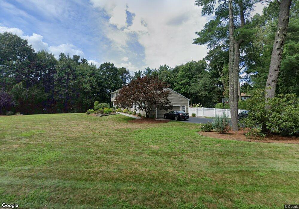
7 Shawnee Rd Medfield, MA 02052
Estimated Value: $1,284,225 - $1,422,000
5
Beds
3
Baths
3,320
Sq Ft
$406/Sq Ft
Est. Value
About This Home
This home is located at 7 Shawnee Rd, Medfield, MA 02052 and is currently estimated at $1,349,306, approximately $406 per square foot. 7 Shawnee Rd is a home located in Norfolk County with nearby schools including Ralph Wheelock School, Memorial School, and Dale Street School.
Ownership History
Date
Name
Owned For
Owner Type
Purchase Details
Closed on
Sep 15, 2006
Sold by
Racowsky Catherine and Racowsky Marshall
Bought by
Teehan Mary B and Teehan Sean P
Current Estimated Value
Home Financials for this Owner
Home Financials are based on the most recent Mortgage that was taken out on this home.
Original Mortgage
$362,500
Interest Rate
6.71%
Mortgage Type
Purchase Money Mortgage
Purchase Details
Closed on
May 27, 1997
Sold by
Palmer Steven W and Palmer Karen N
Bought by
Racowsky Marshall and Racowsky Catherine
Purchase Details
Closed on
Aug 21, 1990
Sold by
Decrescenzo Vincent
Bought by
Palmer Steven W
Create a Home Valuation Report for This Property
The Home Valuation Report is an in-depth analysis detailing your home's value as well as a comparison with similar homes in the area
Home Values in the Area
Average Home Value in this Area
Purchase History
| Date | Buyer | Sale Price | Title Company |
|---|---|---|---|
| Teehan Mary B | $681,500 | -- | |
| Teehan Mary B | $681,500 | -- | |
| Racowsky Marshall | $372,000 | -- | |
| Racowsky Marshall | $372,000 | -- | |
| Palmer Steven W | $330,250 | -- | |
| Palmer Steven W | $330,250 | -- |
Source: Public Records
Mortgage History
| Date | Status | Borrower | Loan Amount |
|---|---|---|---|
| Open | Palmer Steven W | $377,000 | |
| Closed | Teehan Mary B | $362,500 | |
| Closed | Teehan Mary B | $50,000 |
Source: Public Records
Tax History Compared to Growth
Tax History
| Year | Tax Paid | Tax Assessment Tax Assessment Total Assessment is a certain percentage of the fair market value that is determined by local assessors to be the total taxable value of land and additions on the property. | Land | Improvement |
|---|---|---|---|---|
| 2025 | $14,685 | $1,064,100 | $461,300 | $602,800 |
| 2024 | $14,521 | $991,900 | $421,300 | $570,600 |
| 2023 | $14,351 | $930,100 | $401,300 | $528,800 |
| 2022 | $13,525 | $776,400 | $381,300 | $395,100 |
| 2021 | $13,528 | $761,700 | $379,300 | $382,400 |
| 2020 | $13,353 | $748,900 | $377,300 | $371,600 |
| 2019 | $13,152 | $736,000 | $361,300 | $374,700 |
| 2018 | $12,088 | $709,800 | $336,500 | $373,300 |
| 2017 | $11,529 | $682,600 | $309,300 | $373,300 |
| 2016 | $11,400 | $680,600 | $307,300 | $373,300 |
| 2015 | $10,833 | $675,400 | $307,300 | $368,100 |
| 2014 | $10,081 | $625,400 | $257,300 | $368,100 |
Source: Public Records
Map
Nearby Homes
- 27 Whichita Rd
- 23 Algonquin Rd
- 3 Massachusetts Ave
- 2 Gerald Ave
- 28 Forest Rd
- 10 Stop River Rd
- 25 Bayberry Cir Unit 25
- 13 Stop River Rd
- 29 Wildwood Rd Unit 29
- 16 Stop River Rd
- 136 Spring St
- 63 Thomas Mann Cir Unit 36
- 57 Thomas Mann Cir Unit 57
- 53 Thomas Mann Cir Unit 31
- 51 Thomas Mann Unit 30
- The Georgetown L Plan at Lakeland Hills
- The Georgetown Grand L Plan at Lakeland Hills
- The Georgetown R Plan at Lakeland Hills
- The Georgetown Grand R Plan at Lakeland Hills
- 42 Thomas Mann Unit 39