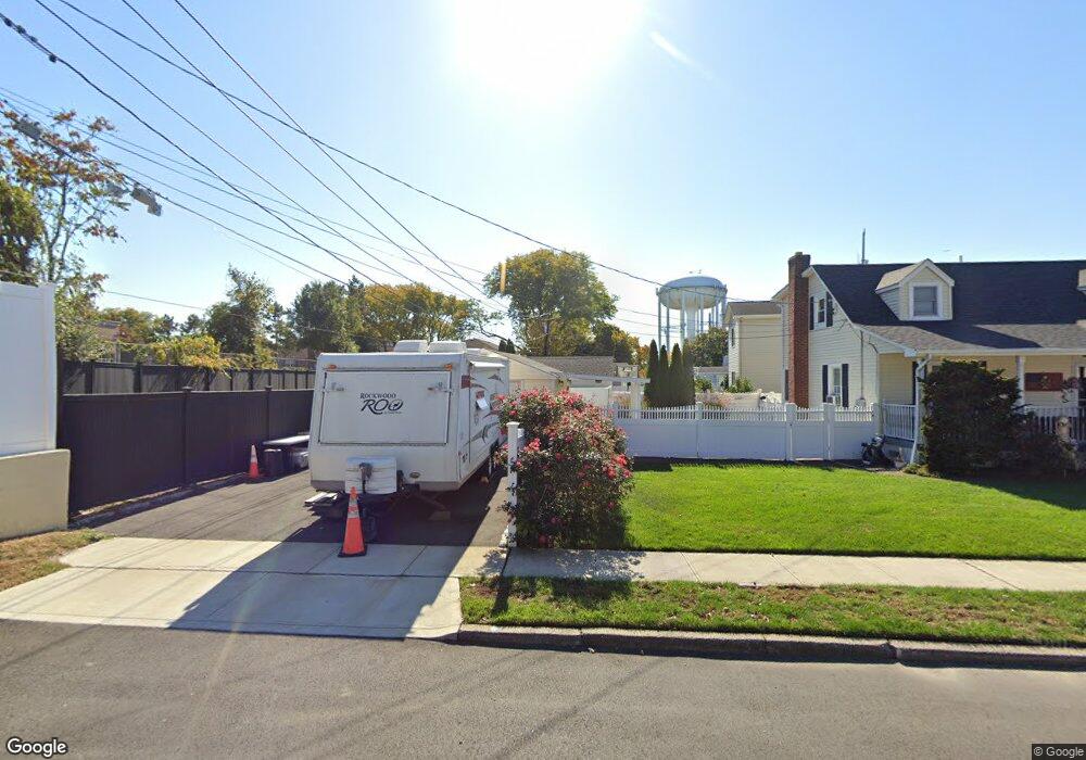
7 Sherman Place Bethpage, NY 11714
Estimated Value: $682,000 - $708,257
4
Beds
2
Baths
1,302
Sq Ft
$534/Sq Ft
Est. Value
About This Home
This home is located at 7 Sherman Place, Bethpage, NY 11714 and is currently estimated at $695,129, approximately $533 per square foot. 7 Sherman Place is a home located in Nassau County with nearby schools including Michael F. Stokes Elementary School, J Fred Sparke Elementary School, and Island Trees Middle School.
Ownership History
Date
Name
Owned For
Owner Type
Purchase Details
Closed on
Oct 5, 2018
Sold by
Colgan Patrick J
Bought by
Osorio Denis M
Current Estimated Value
Home Financials for this Owner
Home Financials are based on the most recent Mortgage that was taken out on this home.
Original Mortgage
$408,500
Outstanding Balance
$356,236
Interest Rate
4.5%
Mortgage Type
New Conventional
Estimated Equity
$338,893
Purchase Details
Closed on
Sep 18, 2015
Sold by
Colgan Patrick
Bought by
Colgan Patrick J
Create a Home Valuation Report for This Property
The Home Valuation Report is an in-depth analysis detailing your home's value as well as a comparison with similar homes in the area
Home Values in the Area
Average Home Value in this Area
Purchase History
| Date | Buyer | Sale Price | Title Company |
|---|---|---|---|
| Osorio Denis M | $430,000 | None Available | |
| Colgan Patrick J | -- | Attorney |
Source: Public Records
Mortgage History
| Date | Status | Borrower | Loan Amount |
|---|---|---|---|
| Open | Osorio Denis M | $408,500 |
Source: Public Records
Tax History Compared to Growth
Tax History
| Year | Tax Paid | Tax Assessment Tax Assessment Total Assessment is a certain percentage of the fair market value that is determined by local assessors to be the total taxable value of land and additions on the property. | Land | Improvement |
|---|---|---|---|---|
| 2025 | $11,194 | $451 | $242 | $209 |
| 2024 | $4,015 | $448 | $241 | $207 |
| 2023 | $11,601 | $469 | $252 | $217 |
| 2022 | $11,601 | $469 | $252 | $217 |
| 2021 | $16,450 | $447 | $240 | $207 |
| 2020 | $12,459 | $750 | $556 | $194 |
| 2019 | $3,513 | $750 | $556 | $194 |
| 2018 | $3,513 | $750 | $0 | $0 |
| 2017 | $4,405 | $750 | $556 | $194 |
| 2016 | $8,058 | $750 | $556 | $194 |
| 2015 | $3,068 | $750 | $556 | $194 |
| 2014 | $3,068 | $750 | $556 | $194 |
| 2013 | $2,833 | $750 | $556 | $194 |
Source: Public Records
Map
Nearby Homes
- 307- 13 Hicksville Rd Unit 13
- 253 Hicksville Rd Unit 2K
- 3680 Stokes Ave
- 12 Carson St
- 43 Farmedge Rd
- 15 Hewmann Place
- 472 Farmranch Rd E
- 4030 Avoca Ave
- 149 Cardinal Rd
- 111 Michael Place
- 15 Scherer St
- 107 Cardinal Rd
- 38 Bradford Ln
- 34 Scherer St
- 3562 Raven St
- 15 N Butehorn St
- 47 Cardinal Rd
- 26 Bradford Ln
- 464 Central Ave
- 3520 Mallard Rd