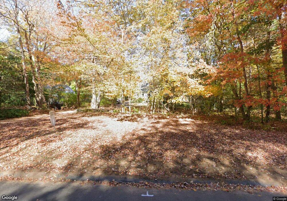
7 Stocking Lot Rd East Haddam, CT 06423
Estimated Value: $331,000 - $444,000
2
Beds
1
Bath
1,306
Sq Ft
$295/Sq Ft
Est. Value
About This Home
This home is located at 7 Stocking Lot Rd, East Haddam, CT 06423 and is currently estimated at $385,303, approximately $295 per square foot. 7 Stocking Lot Rd is a home located in Middlesex County with nearby schools including East Haddam Elementary School, Nathan Hale-Ray Middle School, and Nathan Hale-Ray High School.
Ownership History
Date
Name
Owned For
Owner Type
Purchase Details
Closed on
Sep 23, 1992
Sold by
Essex Svg Bk
Bought by
Mather Herbert P and Mather Natalie L
Current Estimated Value
Home Financials for this Owner
Home Financials are based on the most recent Mortgage that was taken out on this home.
Original Mortgage
$98,910
Interest Rate
8.5%
Mortgage Type
Unknown
Create a Home Valuation Report for This Property
The Home Valuation Report is an in-depth analysis detailing your home's value as well as a comparison with similar homes in the area
Home Values in the Area
Average Home Value in this Area
Purchase History
| Date | Buyer | Sale Price | Title Company |
|---|---|---|---|
| Mather Herbert P | $40,000 | -- |
Source: Public Records
Mortgage History
| Date | Status | Borrower | Loan Amount |
|---|---|---|---|
| Open | Mather Herbert P | $120,000 | |
| Closed | Mather Herbert P | $120,000 | |
| Closed | Mather Herbert P | $104,000 | |
| Closed | Mather Herbert P | $98,910 |
Source: Public Records
Tax History Compared to Growth
Tax History
| Year | Tax Paid | Tax Assessment Tax Assessment Total Assessment is a certain percentage of the fair market value that is determined by local assessors to be the total taxable value of land and additions on the property. | Land | Improvement |
|---|---|---|---|---|
| 2025 | $5,658 | $201,630 | $84,520 | $117,110 |
| 2024 | $5,396 | $201,630 | $84,520 | $117,110 |
| 2023 | $5,192 | $201,630 | $84,520 | $117,110 |
| 2022 | $4,745 | $149,270 | $58,690 | $90,580 |
| 2021 | $4,544 | $149,270 | $58,690 | $90,580 |
| 2020 | $4,544 | $149,270 | $58,690 | $90,580 |
| 2019 | $4,544 | $149,270 | $58,690 | $90,580 |
| 2018 | $4,427 | $149,270 | $58,690 | $90,580 |
| 2017 | $4,132 | $139,680 | $63,590 | $76,090 |
| 2016 | $4,100 | $139,680 | $63,590 | $76,090 |
| 2015 | $4,006 | $139,680 | $63,590 | $76,090 |
| 2014 | $3,896 | $139,650 | $63,560 | $76,090 |
Source: Public Records
Map
Nearby Homes
- 53 Falls Bashan Rd
- 154 Falls Rd
- 42 Dogwood Rd
- 8 Tom Rd
- 53 Falls Rd
- 114 Lakeside Dr
- 213 Waterhole Rd
- 5 Joe Williams Rd
- 45 Alger Rd
- 115 Lakeview Dr
- 145 Lakeview Dr
- 115 Sillimanville Rd
- 21 Olmstead Rd
- 398 E Haddam Moodus Rd
- 23 Olmstead Rd
- 213 Lakeview Dr
- 0 Lakeside Dr
- 67 Moodus Leesville Rd
- 597 Westchester Rd
- 8 Augusta Cir Unit 8
- 30 White Sands Rd
- 40 Falls Bashan Rd
- 44 Falls Bashan Rd
- 14 White Sands Rd
- 11 Stocking Lot Rd
- Lot 11 Winterbrooke Rd
- 38 White Sands Rd
- 29 White Sands Rd
- 8 Stocking Lot Rd
- Lot# 8 Winterbrooke Rd
- 8 Pine Tree Rd
- 19 White Sands Rd
- 6 White Sands Rd
- 20 Woodland Rd
- 17 Stocking Lot Rd
- 39 White Sands Rd
- 48 Falls Bashan Rd
- 3 Pine Tree Rd
- 18 Pine Tree Rd
- 11 Pine Tree Rd