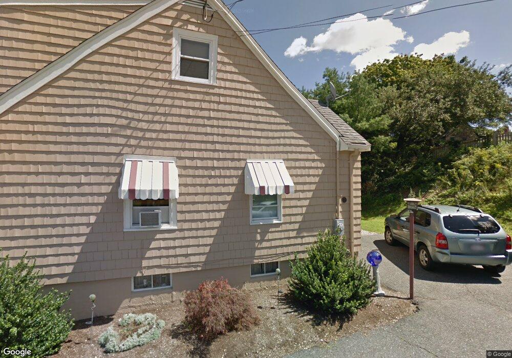
7 Thurston Ln Gloucester, MA 01930
Riverview NeighborhoodEstimated Value: $904,000 - $1,426,658
3
Beds
2
Baths
1,588
Sq Ft
$726/Sq Ft
Est. Value
About This Home
This home is located at 7 Thurston Ln, Gloucester, MA 01930 and is currently estimated at $1,152,553, approximately $725 per square foot. 7 Thurston Ln is a home located in Essex County with nearby schools including Beeman Memorial, Ralph B O'maley Middle School, and Gloucester High School.
Ownership History
Date
Name
Owned For
Owner Type
Purchase Details
Closed on
Jun 14, 2018
Sold by
Frontiero Carol L
Bought by
Frontiero Ft
Current Estimated Value
Create a Home Valuation Report for This Property
The Home Valuation Report is an in-depth analysis detailing your home's value as well as a comparison with similar homes in the area
Home Values in the Area
Average Home Value in this Area
Purchase History
| Date | Buyer | Sale Price | Title Company |
|---|---|---|---|
| Frontiero Ft | -- | -- |
Source: Public Records
Tax History
| Year | Tax Paid | Tax Assessment Tax Assessment Total Assessment is a certain percentage of the fair market value that is determined by local assessors to be the total taxable value of land and additions on the property. | Land | Improvement |
|---|---|---|---|---|
| 2025 | $13,630 | $1,402,300 | $986,600 | $415,700 |
| 2024 | $13,310 | $1,367,900 | $939,700 | $428,200 |
| 2023 | $12,528 | $1,183,000 | $801,800 | $381,200 |
| 2022 | $11,734 | $1,000,300 | $697,500 | $302,800 |
| 2021 | $11,556 | $928,900 | $634,000 | $294,900 |
| 2020 | $11,242 | $911,800 | $634,000 | $277,800 |
| 2019 | $10,988 | $865,900 | $604,500 | $261,400 |
| 2018 | $10,787 | $834,300 | $589,700 | $244,600 |
| 2017 | $10,440 | $791,500 | $561,700 | $229,800 |
| 2016 | $10,100 | $742,100 | $536,600 | $205,500 |
| 2015 | $9,848 | $721,500 | $524,400 | $197,100 |
Source: Public Records
Map
Nearby Homes
- 13 Honeysuckle Rd
- 2 Breezy Point Rd
- 3 Deacon Farm Ln
- 31 Echo Ave
- 672 Washington St
- 167 Atlantic St
- 178 Atlantic St
- 226 Atlantic St
- 13 Mystic Ave
- 8 Mystic Ave
- 6 Monroe Ct
- 98 Maplewood Ave
- 9 Cleveland Place
- 12 Arthur St
- 40 Sargent St
- 15 Harvard St
- 145 Essex Ave Unit 402
- 5 Samoset Rd Unit B
- 19 Trask St Unit 2
- 24 Cobblestone Ln Unit 603
- 3 Thurston Ln
- 94 Wheeler St
- 92 Wheeler St
- 8 Thurston Lane U:2 Unit WINTER RENT
- 96A Wheeler St
- 96 Wheeler St Unit 1
- 96 Wheeler St
- 8 Thurston Ln
- 8 Thurston Ln Unit 2
- 72 Thurston Point Rd
- 70 Thurston Point Rd
- 70 Thurston Point Rd Unit 2
- 68 Thurston Point Rd
- 39 Thurston Ln
- 88 Wheeler St
- 98 Wheeler St
- 66 Thurston Point Rd
- 91 Wheeler St
- Lot 11E Road b
- 102 Wheeler St
Your Personal Tour Guide
Ask me questions while you tour the home.