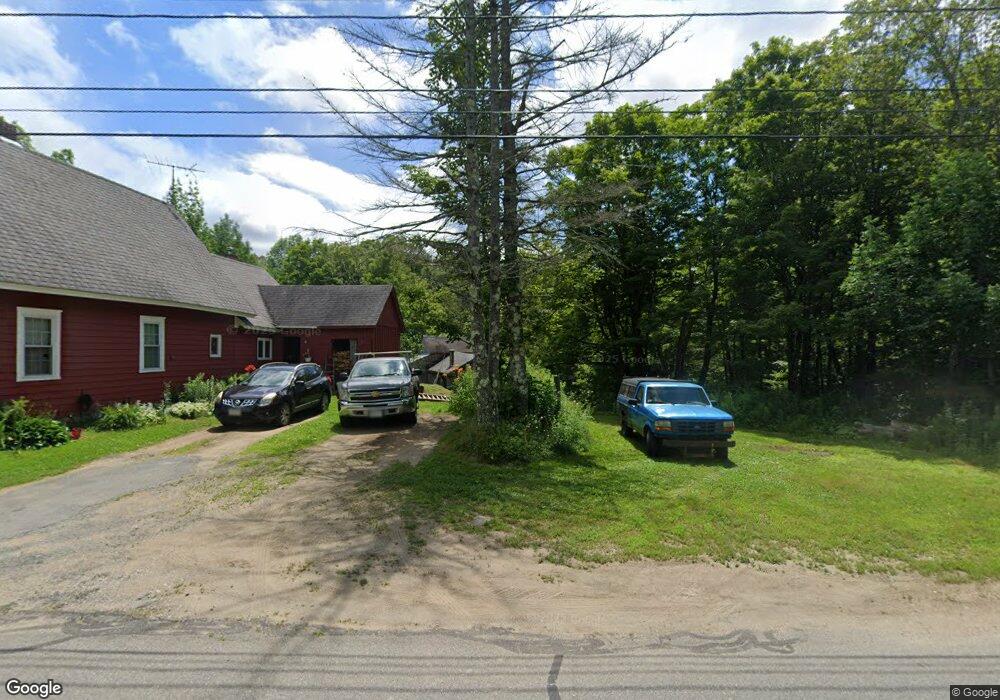
7 W Main St Heath, MA 01346
Heath NeighborhoodEstimated Value: $220,016 - $301,000
4
Beds
1
Bath
1,407
Sq Ft
$183/Sq Ft
Est. Value
About This Home
This home is located at 7 W Main St, Heath, MA 01346 and is currently estimated at $257,504, approximately $183 per square foot. 7 W Main St is a home located in Franklin County with nearby schools including Mohawk Trail Regional High School.
Create a Home Valuation Report for This Property
The Home Valuation Report is an in-depth analysis detailing your home's value as well as a comparison with similar homes in the area
Home Values in the Area
Average Home Value in this Area
Tax History
| Year | Tax Paid | Tax Assessment Tax Assessment Total Assessment is a certain percentage of the fair market value that is determined by local assessors to be the total taxable value of land and additions on the property. | Land | Improvement |
|---|---|---|---|---|
| 2025 | $3,085 | $164,000 | $29,200 | $134,800 |
| 2024 | $3,210 | $157,100 | $26,100 | $131,000 |
| 2023 | $3,318 | $145,000 | $19,200 | $125,800 |
| 2022 | $3,119 | $145,000 | $19,200 | $125,800 |
| 2021 | $3,268 | $145,100 | $19,200 | $125,900 |
| 2020 | $3,211 | $144,300 | $18,400 | $125,900 |
| 2019 | $2,789 | $129,100 | $20,400 | $108,700 |
| 2018 | $2,816 | $129,100 | $20,400 | $108,700 |
| 2017 | $2,777 | $132,300 | $20,400 | $111,900 |
| 2016 | $2,713 | $132,300 | $20,400 | $111,900 |
| 2015 | $2,970 | $148,800 | $20,400 | $128,400 |
Source: Public Records
Map
Nearby Homes
- 14 South Rd
- 3 Flagg Hill Rd
- 144 Branch Hill Rd
- 35 Cheyenne St
- 8 Deer Run Path
- 2 Modoc Dr
- Lot 121 Davis Mine Rd
- 0 W Oxbow Rd Unit 248444
- 0 Sadoga Rd Unit 249488
- 0 Sadoga Rd Unit 73507720
- 594 Massachusetts 8a
- 24 W Oxbow Rd
- 31 W Oxbow Rd
- 143 Charlemont Rd
- 168 Main St
- 107 Main St
- 0 Potters Rd Unit 248445
- 421 Legate Hill Rd
- 0 Number 9 Rd
- 60 S River Rd Unit 3
Your Personal Tour Guide
Ask me questions while you tour the home.