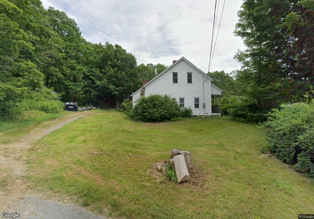
7 West Rd Bernardston, MA 01337
Estimated Value: $393,703 - $452,000
3
Beds
2
Baths
1,802
Sq Ft
$235/Sq Ft
Est. Value
About This Home
This home is located at 7 West Rd, Bernardston, MA 01337 and is currently estimated at $422,926, approximately $234 per square foot. 7 West Rd is a home located in Franklin County with nearby schools including Pioneer Valley Regional and Full Circle School.
Ownership History
Date
Name
Owned For
Owner Type
Purchase Details
Closed on
Dec 30, 2014
Sold by
Lynde Clara E
Bought by
Clara E Lynde Irt and Lynde
Current Estimated Value
Create a Home Valuation Report for This Property
The Home Valuation Report is an in-depth analysis detailing your home's value as well as a comparison with similar homes in the area
Home Values in the Area
Average Home Value in this Area
Purchase History
| Date | Buyer | Sale Price | Title Company |
|---|---|---|---|
| Clara E Lynde Irt | -- | -- | |
| Clara E Lynde Irt | -- | -- |
Source: Public Records
Mortgage History
| Date | Status | Borrower | Loan Amount |
|---|---|---|---|
| Previous Owner | Clara E Lynde Irt | $10,000 |
Source: Public Records
Tax History Compared to Growth
Tax History
| Year | Tax Paid | Tax Assessment Tax Assessment Total Assessment is a certain percentage of the fair market value that is determined by local assessors to be the total taxable value of land and additions on the property. | Land | Improvement |
|---|---|---|---|---|
| 2025 | $4,027 | $282,200 | $87,900 | $194,300 |
| 2024 | $4,394 | $268,900 | $87,900 | $181,000 |
| 2023 | $4,249 | $265,700 | $76,800 | $188,900 |
| 2022 | $3,688 | $214,400 | $69,800 | $144,600 |
| 2021 | $3,421 | $184,200 | $59,100 | $125,100 |
| 2020 | $3,584 | $192,800 | $59,100 | $133,700 |
| 2019 | $3,561 | $181,300 | $59,100 | $122,200 |
| 2018 | $4,297 | $209,900 | $59,600 | $150,300 |
| 2017 | $4,152 | $209,900 | $59,600 | $150,300 |
| 2016 | $4,085 | $209,900 | $59,600 | $150,300 |
| 2015 | $2,845 | $153,100 | $70,200 | $82,900 |
Source: Public Records
Map
Nearby Homes
- 180 Bald Mountain Rd
- 1 Northfield Rd
- 23 Industrial Dr
- 59 River St
- 56 Brattleboro Rd
- 75 South St Unit 3
- Lot 9 Fox Hill Rd (Off)
- 47 Cross St
- 539 Fox Hill Rd
- 704 Brattleboro Rd
- 775 Brattleboro Rd
- 83 Eden Trail Branch
- 430 Huckle Hill Rd
- 430 Hucklehill Rd
- 12 Parker Ave Unit 1
- 182 Main Rd
- 801 Newton Rd
- 001 Adams Rd
- 31 Lovers Ln
- 94 Main St
- 15 West Rd
- 14 West Rd
- 213 Bald Mountain Rd
- 21 West Rd
- 205 Bald Mountain Rd
- 0 West Rd
- 219 Bald Mountain Rd
- 0 Chapin Rd
- 199 Bald Mountain Rd
- 27 Chapin Rd
- 19 Chapin Rd Unit A
- 19A Chapin Rd
- 19 Chapin Rd
- 210 Bald Mountain Rd
- 31 West Rd
- 220 Bald Mountain Rd
- 216 Bald Mountain Rd
- 202 Bald Mountain Rd
- 39 Chapin Rd
- 189 Bald Mountain Rd