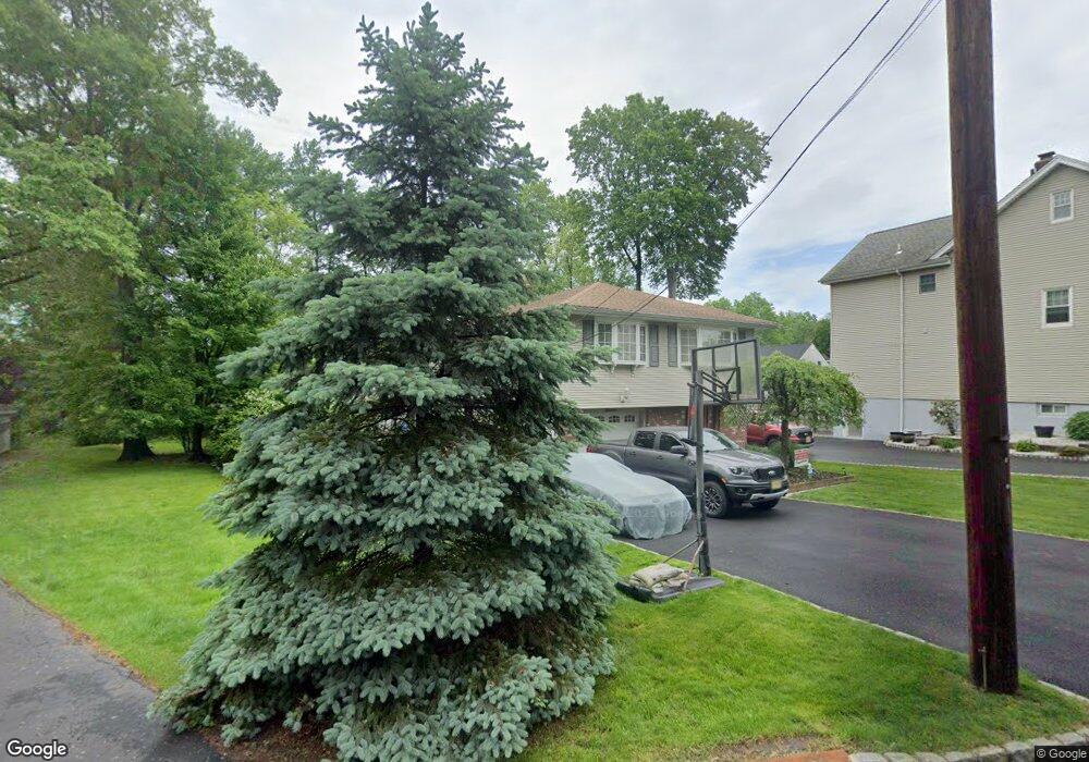
7 Westview Ave Roseland, NJ 07068
Estimated Value: $732,000 - $873,000
Studio
--
Bath
2,146
Sq Ft
$371/Sq Ft
Est. Value
About This Home
This home is located at 7 Westview Ave, Roseland, NJ 07068 and is currently estimated at $796,296, approximately $371 per square foot. 7 Westview Ave is a home located in Essex County with nearby schools including Lester C. Noecker Elementary School, West Essex Middle School, and West Essex High School.
Ownership History
Date
Name
Owned For
Owner Type
Purchase Details
Closed on
Mar 8, 2002
Sold by
Spina Salvatore
Bought by
Marino Joseph and Marino Jeanine
Current Estimated Value
Home Financials for this Owner
Home Financials are based on the most recent Mortgage that was taken out on this home.
Original Mortgage
$280,000
Outstanding Balance
$116,798
Interest Rate
7.04%
Estimated Equity
$679,498
Purchase Details
Closed on
Jul 12, 1991
Sold by
Spina Salvatore and Spina Maureen
Bought by
Spina Maureen
Create a Home Valuation Report for This Property
The Home Valuation Report is an in-depth analysis detailing your home's value as well as a comparison with similar homes in the area
Home Values in the Area
Average Home Value in this Area
Purchase History
| Date | Buyer | Sale Price | Title Company |
|---|---|---|---|
| Marino Joseph | $350,000 | -- | |
| Spina Maureen | -- | -- |
Source: Public Records
Mortgage History
| Date | Status | Borrower | Loan Amount |
|---|---|---|---|
| Open | Marino Joseph | $280,000 |
Source: Public Records
Tax History
| Year | Tax Paid | Tax Assessment Tax Assessment Total Assessment is a certain percentage of the fair market value that is determined by local assessors to be the total taxable value of land and additions on the property. | Land | Improvement |
|---|---|---|---|---|
| 2025 | $8,575 | $521,200 | $256,900 | $264,300 |
| 2024 | $8,575 | $521,200 | $256,900 | $264,300 |
Source: Public Records
Map
Nearby Homes
- 192 Eagle Rock Ave
- 3 Rutgers Ct
- 34 Lincoln St
- 88 Kent Dr Unit C0176
- 48 Bovensiepen Ct
- 194 Eagle Rock Ave
- 108 Kent Dr Unit C0130
- 15 Godfrey Ave
- 144 Passaic Ave
- 26 Kent Dr Unit C0145
- 2 Holderith Rd
- 27-29 Roseland Ave
- 15 Paradise Place Unit C0008
- 34 Brian Rd
- 331 Roseland Ave
- 319 Roseland Ave
- 50 Cooper Ave
- 91 Eagle Rock Ave
- 492 Eagle Rock Ave
- 11 Hawthorne Dr
- 5 Westview Ave
- 9 Westview Ave
- 16 Conover Ave
- 8 Decamp Ave
- 2 Westview Ave
- 25 Conover Ave
- 18 Westview Ave
- 10 Westview Ave
- 14 Westview Ave
- 1 Westview Ave
- 6 Conover Ave
- 28 Conover Ave
- 17 Westview Ave
- 4 Conover Ave
- 12 Fernwood Ave
- 8 Fernwood Ave
- 57 Davenport Ave
- 59 Davenport Ave
- 4 Fernwood Ave
- 2 Conover Ave
Your Personal Tour Guide
Ask me questions while you tour the home.