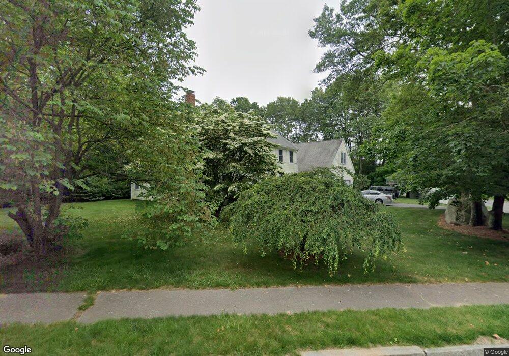
7 Wexford Dr Mansfield, MA 02048
Estimated Value: $994,216 - $1,101,000
3
Beds
3
Baths
3,029
Sq Ft
$344/Sq Ft
Est. Value
About This Home
This home is located at 7 Wexford Dr, Mansfield, MA 02048 and is currently estimated at $1,043,054, approximately $344 per square foot. 7 Wexford Dr is a home located in Bristol County with nearby schools including Jordan/Jackson Elementary School, Everett W. Robinson Elementary School, and Harold L. Qualters Middle School.
Ownership History
Date
Name
Owned For
Owner Type
Purchase Details
Closed on
Dec 30, 2010
Sold by
Whitney Michael T and Whitney Ellen B
Bought by
Buchanan Orrett O
Current Estimated Value
Home Financials for this Owner
Home Financials are based on the most recent Mortgage that was taken out on this home.
Original Mortgage
$356,000
Outstanding Balance
$234,241
Interest Rate
4.37%
Mortgage Type
Purchase Money Mortgage
Estimated Equity
$808,813
Purchase Details
Closed on
Aug 27, 1993
Sold by
Micciche Pamela S and Micciche Mark A
Bought by
Whitney Michael T and Whitney Ellen B
Purchase Details
Closed on
May 26, 1989
Sold by
Hillside Rt
Bought by
Taylor Pamela S
Create a Home Valuation Report for This Property
The Home Valuation Report is an in-depth analysis detailing your home's value as well as a comparison with similar homes in the area
Home Values in the Area
Average Home Value in this Area
Purchase History
| Date | Buyer | Sale Price | Title Company |
|---|---|---|---|
| Buchanan Orrett O | $445,000 | -- | |
| Whitney Michael T | $180,000 | -- | |
| Taylor Pamela S | $190,000 | -- |
Source: Public Records
Mortgage History
| Date | Status | Borrower | Loan Amount |
|---|---|---|---|
| Open | Buchanan Orrett O | $356,000 | |
| Previous Owner | Taylor Pamela S | $417,000 | |
| Previous Owner | Taylor Pamela S | $190,000 | |
| Previous Owner | Taylor Pamela S | $195,200 |
Source: Public Records
Tax History
| Year | Tax Paid | Tax Assessment Tax Assessment Total Assessment is a certain percentage of the fair market value that is determined by local assessors to be the total taxable value of land and additions on the property. | Land | Improvement |
|---|---|---|---|---|
| 2025 | $11,436 | $868,300 | $278,400 | $589,900 |
| 2024 | $11,127 | $824,200 | $290,500 | $533,700 |
| 2023 | $10,710 | $760,100 | $290,500 | $469,600 |
| 2022 | $10,255 | $676,000 | $268,900 | $407,100 |
| 2021 | $2,591 | $640,200 | $224,200 | $416,000 |
| 2020 | $2,569 | $629,400 | $224,200 | $405,200 |
| 2019 | $9,064 | $595,500 | $186,700 | $408,800 |
| 2018 | $8,643 | $579,700 | $178,100 | $401,600 |
| 2017 | $8,467 | $563,700 | $173,000 | $390,700 |
| 2016 | $8,113 | $526,500 | $164,700 | $361,800 |
| 2015 | $7,882 | $508,500 | $164,700 | $343,800 |
Source: Public Records
Map
Nearby Homes
- 15 Coach Rd
- 34 Kevins Way
- 26 Kathleen Grant Rd
- 157 Highland St
- 4 Erick Rd Unit 90
- 8 Scarlet Ct
- 212 Mill St
- 631 East St Unit L101
- 108 Norton Ave Unit 14
- 26 Fredric Ln
- 890 Maple St
- 0 Kensington Rd
- 53 Elyse Rd
- 39 Cutter Dr
- 555 Foundry St Unit B
- 23 Cutter Dr
- 3 Coach Rd
- 0 Knollwood & 0 Rear Kensington
- 553 Foundry St
- 20 Coach Rd
Your Personal Tour Guide
Ask me questions while you tour the home.