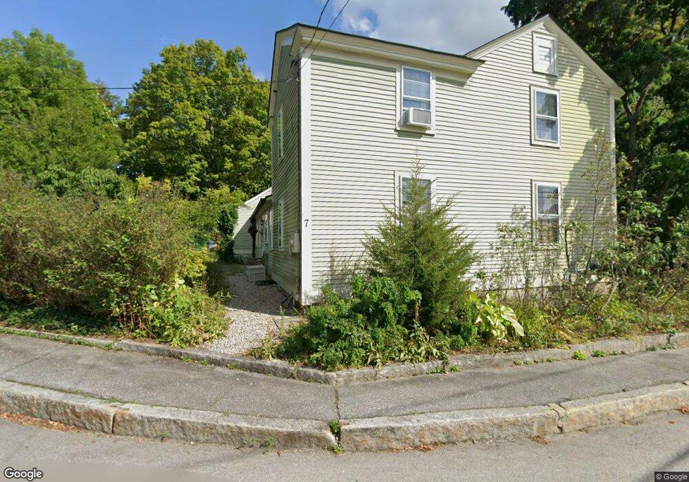
7 Whiting Hill Rd Wilton, NH 03086
Estimated Value: $398,238 - $592,000
4
Beds
2
Baths
2,118
Sq Ft
$226/Sq Ft
Est. Value
About This Home
This home is located at 7 Whiting Hill Rd, Wilton, NH 03086 and is currently estimated at $477,810, approximately $225 per square foot. 7 Whiting Hill Rd is a home located in Hillsborough County with nearby schools including Florence Rideout Elementary School, Wilton-Lyndeborough Cooperative Middle School, and Wilton-Lyndeborough Cooperative High School.
Ownership History
Date
Name
Owned For
Owner Type
Purchase Details
Closed on
May 7, 2001
Sold by
Fuschette Steven and Fuschette Margaret
Bought by
Gebhardt Daniel B and Gebhardt Heather M
Current Estimated Value
Home Financials for this Owner
Home Financials are based on the most recent Mortgage that was taken out on this home.
Original Mortgage
$170,850
Interest Rate
6.85%
Create a Home Valuation Report for This Property
The Home Valuation Report is an in-depth analysis detailing your home's value as well as a comparison with similar homes in the area
Home Values in the Area
Average Home Value in this Area
Purchase History
| Date | Buyer | Sale Price | Title Company |
|---|---|---|---|
| Gebhardt Daniel B | $179,900 | -- |
Source: Public Records
Mortgage History
| Date | Status | Borrower | Loan Amount |
|---|---|---|---|
| Open | Gebhardt Daniel B | $192,000 | |
| Closed | Gebhardt Daniel B | $170,850 |
Source: Public Records
Tax History Compared to Growth
Tax History
| Year | Tax Paid | Tax Assessment Tax Assessment Total Assessment is a certain percentage of the fair market value that is determined by local assessors to be the total taxable value of land and additions on the property. | Land | Improvement |
|---|---|---|---|---|
| 2024 | $7,016 | $282,100 | $89,800 | $192,300 |
| 2023 | $6,263 | $282,100 | $89,800 | $192,300 |
| 2022 | $5,828 | $282,100 | $89,800 | $192,300 |
| 2021 | $5,422 | $282,100 | $89,800 | $192,300 |
| 2020 | $5,381 | $183,100 | $66,500 | $116,600 |
| 2019 | $5,317 | $183,100 | $66,500 | $116,600 |
| 2018 | $5,266 | $183,100 | $66,500 | $116,600 |
| 2017 | $4,975 | $183,100 | $66,500 | $116,600 |
| 2016 | $4,823 | $183,100 | $66,500 | $116,600 |
| 2015 | $4,989 | $189,400 | $67,000 | $122,400 |
| 2014 | $4,887 | $189,400 | $67,000 | $122,400 |
| 2013 | $4,928 | $189,400 | $67,000 | $122,400 |
Source: Public Records
Map
Nearby Homes
- 8 Maple St
- 25 Burns Hill Rd
- 44 Burns Hill Rd
- 134 Falcon Ridge Rd Unit 23
- 30 Robbins Rd
- F-88-11 Aria Hill Dr
- F-88-12 Aria Hill Dr
- F-88-7 Aria Hill Dr
- F-88-10 Aria Hill Dr
- 18 Richfield Way
- Lot F-88-9 Aria Hill Dr
- F/88-5 McGettigan Rd
- F/88-4 McGettigan Rd
- 415 Savage Rd
- Lots 4 & 7 Gibbons & Robbins Rd
- 58-2 Davisville Rd
- 0 Marden Rd
- 325 Burton Hwy
- 21 Ledgewood Rd
- 344 Elm St Unit 14
- 3 Whiting Hill Rd
- 15 Whiting Hill Rd
- 1 Whiting Hill Rd
- 10 Whiting Hill Rd
- 10 Main St Unit 8
- 10 Main St Unit 18
- 10 Main St
- 10 Main St Unit 10
- 10 Main St Unit 1
- 10 Main St Unit 19
- 10 Main St Unit 5
- 10 Main St Unit 17
- 10 Main St Unit 9
- 10 Maple St
- 14 Whiting Hill Rd
- 1 Forest Rd
- 2 Whiting Hill Rd
- 99 Main St
- 99 Main St
- 28 Park St