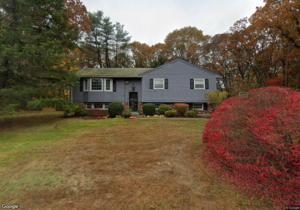
7 Winsor Ln Topsfield, MA 01983
Estimated Value: $683,000 - $957,000
3
Beds
2
Baths
1,232
Sq Ft
$649/Sq Ft
Est. Value
About This Home
This home is located at 7 Winsor Ln, Topsfield, MA 01983 and is currently estimated at $799,412, approximately $648 per square foot. 7 Winsor Ln is a home located in Essex County with nearby schools including Steward Elementary School, Proctor Elementary School, and Masconomet Regional Middle School.
Ownership History
Date
Name
Owned For
Owner Type
Purchase Details
Closed on
Nov 28, 2023
Sold by
Daly Ann P
Bought by
Ann P Daly Lt and Daly
Current Estimated Value
Purchase Details
Closed on
Sep 15, 1993
Sold by
Snow Alan M and Ryan Snow Donna
Bought by
Daly Ann P and Dixon Basil
Home Financials for this Owner
Home Financials are based on the most recent Mortgage that was taken out on this home.
Original Mortgage
$162,000
Interest Rate
7.16%
Mortgage Type
Purchase Money Mortgage
Purchase Details
Closed on
Nov 22, 1991
Sold by
Cronin Michael F and Cronin Ellen J
Bought by
Snow Alan M and Snow Donna E
Home Financials for this Owner
Home Financials are based on the most recent Mortgage that was taken out on this home.
Original Mortgage
$128,500
Interest Rate
8.7%
Mortgage Type
Purchase Money Mortgage
Create a Home Valuation Report for This Property
The Home Valuation Report is an in-depth analysis detailing your home's value as well as a comparison with similar homes in the area
Home Values in the Area
Average Home Value in this Area
Purchase History
| Date | Buyer | Sale Price | Title Company |
|---|---|---|---|
| Ann P Daly Lt | -- | None Available | |
| Daly Ann P | $207,000 | -- | |
| Snow Alan M | $202,500 | -- |
Source: Public Records
Mortgage History
| Date | Status | Borrower | Loan Amount |
|---|---|---|---|
| Previous Owner | Snow Alan M | $162,000 | |
| Previous Owner | Snow Alan M | $128,500 |
Source: Public Records
Tax History Compared to Growth
Tax History
| Year | Tax Paid | Tax Assessment Tax Assessment Total Assessment is a certain percentage of the fair market value that is determined by local assessors to be the total taxable value of land and additions on the property. | Land | Improvement |
|---|---|---|---|---|
| 2025 | $9,767 | $651,600 | $402,700 | $248,900 |
| 2024 | $9,156 | $623,300 | $381,500 | $241,800 |
| 2023 | $8,675 | $570,700 | $360,300 | $210,400 |
| 2022 | $8,884 | $533,600 | $360,300 | $173,300 |
| 2021 | $8,585 | $479,100 | $322,200 | $156,900 |
| 2020 | $8,346 | $479,100 | $322,200 | $156,900 |
| 2019 | $8,024 | $472,000 | $322,200 | $149,800 |
| 2018 | $7,946 | $457,700 | $322,200 | $135,500 |
| 2017 | $7,102 | $419,500 | $284,000 | $135,500 |
| 2016 | $6,861 | $415,300 | $271,300 | $144,000 |
Source: Public Records
Map
Nearby Homes
- 4 Ruby Cir
- Lot 3 Pearl Way
- Lot 1 Pearl Way
- 34 Great Hill Dr Unit 34
- 10 Walker Rd
- 40 East St
- 37 East St
- 8 Mansion Dr
- 137 Perkins Row
- 117 Perkins Row
- 88 Haverhill Rd
- 76 Parsonage Ln
- 2 Hickory Ln
- 14 Pond St
- 11 Oakwood Knoll Rd
- 30 Buttonwood
- 46 Buttonwood
- 52 Wenham Rd
- 61 Maplecroft Ln
- 28 Andrews Farm Rd