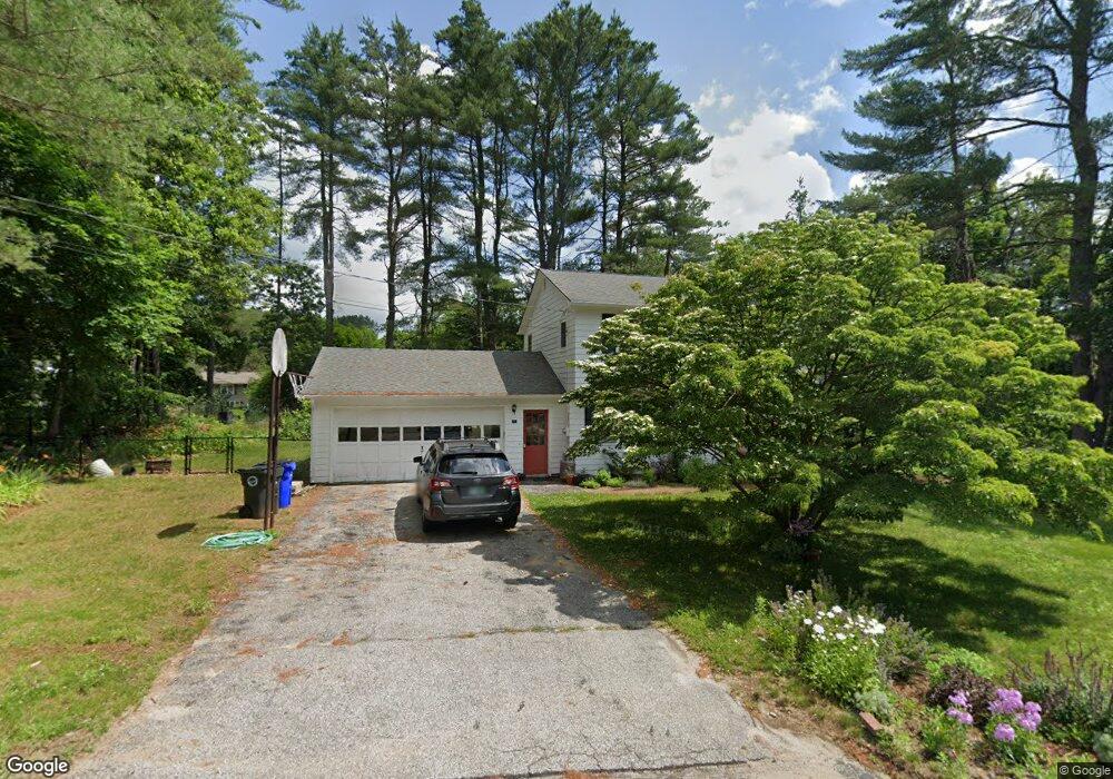
7 Wood Cir Goffstown, NH 03045
Estimated Value: $468,000 - $509,000
2
Beds
1
Bath
1,350
Sq Ft
$363/Sq Ft
Est. Value
About This Home
This home is located at 7 Wood Cir, Goffstown, NH 03045 and is currently estimated at $489,605, approximately $362 per square foot. 7 Wood Cir is a home located in Hillsborough County with nearby schools including Mountain View Middle School and Goffstown High School.
Ownership History
Date
Name
Owned For
Owner Type
Purchase Details
Closed on
Jun 22, 2018
Sold by
Normand C Hebert Ret
Bought by
Ruby Keven G and Holthoefer Anne
Current Estimated Value
Home Financials for this Owner
Home Financials are based on the most recent Mortgage that was taken out on this home.
Original Mortgage
$268,690
Outstanding Balance
$232,372
Interest Rate
4.5%
Mortgage Type
Purchase Money Mortgage
Estimated Equity
$257,233
Purchase Details
Closed on
Jun 12, 2014
Sold by
Hebert Normand C
Bought by
Normand C Hebert Ret
Purchase Details
Closed on
Dec 29, 1970
Bought by
Normand C Hebert Ret
Create a Home Valuation Report for This Property
The Home Valuation Report is an in-depth analysis detailing your home's value as well as a comparison with similar homes in the area
Home Values in the Area
Average Home Value in this Area
Purchase History
| Date | Buyer | Sale Price | Title Company |
|---|---|---|---|
| Ruby Keven G | $277,000 | -- | |
| Normand C Hebert Ret | -- | -- | |
| Normand C Hebert Ret | -- | -- |
Source: Public Records
Mortgage History
| Date | Status | Borrower | Loan Amount |
|---|---|---|---|
| Open | Ruby Keven G | $268,690 |
Source: Public Records
Tax History Compared to Growth
Tax History
| Year | Tax Paid | Tax Assessment Tax Assessment Total Assessment is a certain percentage of the fair market value that is determined by local assessors to be the total taxable value of land and additions on the property. | Land | Improvement |
|---|---|---|---|---|
| 2024 | $8,115 | $397,000 | $183,300 | $213,700 |
| 2023 | $7,487 | $397,000 | $183,300 | $213,700 |
| 2022 | $6,735 | $256,000 | $113,000 | $143,000 |
| 2021 | $6,354 | $256,000 | $113,000 | $143,000 |
| 2020 | $6,354 | $256,000 | $113,000 | $143,000 |
| 2019 | $6,292 | $256,000 | $113,000 | $143,000 |
| 2018 | $4,762 | $256,000 | $113,000 | $143,000 |
| 2017 | $5,901 | $215,200 | $93,800 | $121,400 |
| 2016 | $5,688 | $215,200 | $93,800 | $121,400 |
| 2015 | $5,587 | $198,400 | $84,800 | $113,600 |
| 2014 | $5,357 | $198,400 | $84,800 | $113,600 |
Source: Public Records
Map
Nearby Homes
- 88 Saunders Rd
- 16 Palmer Rd
- 25 Pleasant St
- 174 S Stark Hwy Unit 13
- 174 S Stark Hwy Unit 1
- 174 S Stark Hwy Unit 23
- 12 S Mast St
- 39 S Mast St
- 95 Wright Dr
- 99 Elm St
- 93 Daniels Rd
- 34 Lull Rd
- 137 Elm St
- 120 S Mast St
- 22 Fairway Dr
- 152 S Mast St
- 22 Winter Hill Rd
- 77 Gould Rd
- 111 Bog Brook Rd
- 342 Weare Rd
- 7 Wood Cir
- 7 Wood Cir
- 14-1 Wood Cir
- 7 Pinecrest Dr
- 8 Wood Cir
- 8 Wood Cir
- 11 Pine Crest Dr
- 14 Wood Cir
- 55 Parker Station Rd
- 11 Pinecrest Dr
- 1 Wood Cir
- 59 Parker Station Rd
- 10 Wood Cir
- 17 Pine Crest Dr
- 10 Pine Crest Dr
- 2 Pine Crest Dr
- 12 Pine Crest Dr
- 47 Parker Station Rd
- Lot 7/25 Parker Station Rd
- 0 Parker Station Rd