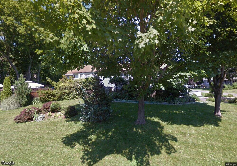
7 Woodcrest Rd Norwalk, CT 06851
Downtown Norwalk NeighborhoodEstimated Value: $742,000 - $923,000
3
Beds
3
Baths
1,632
Sq Ft
$493/Sq Ft
Est. Value
About This Home
This home is located at 7 Woodcrest Rd, Norwalk, CT 06851 and is currently estimated at $805,351, approximately $493 per square foot. 7 Woodcrest Rd is a home located in Fairfield County with nearby schools including Naramake Elementary School, Nathan Hale Middle School, and Norwalk High School.
Ownership History
Date
Name
Owned For
Owner Type
Purchase Details
Closed on
Sep 10, 1993
Sold by
Nationwide Mutual Ins
Bought by
Roddy Thomas and Parsenkian Mary
Current Estimated Value
Home Financials for this Owner
Home Financials are based on the most recent Mortgage that was taken out on this home.
Original Mortgage
$243,000
Interest Rate
7.21%
Mortgage Type
Unknown
Create a Home Valuation Report for This Property
The Home Valuation Report is an in-depth analysis detailing your home's value as well as a comparison with similar homes in the area
Home Values in the Area
Average Home Value in this Area
Purchase History
| Date | Buyer | Sale Price | Title Company |
|---|---|---|---|
| Roddy Thomas | $270,000 | -- | |
| Nationwide Mutual Ins | $270,000 | -- | |
| Nationwide Mutual Ins | $270,000 | -- |
Source: Public Records
Mortgage History
| Date | Status | Borrower | Loan Amount |
|---|---|---|---|
| Closed | Nationwide Mutual Ins | $215,000 | |
| Closed | Nationwide Mutual Ins | $243,000 |
Source: Public Records
Tax History Compared to Growth
Tax History
| Year | Tax Paid | Tax Assessment Tax Assessment Total Assessment is a certain percentage of the fair market value that is determined by local assessors to be the total taxable value of land and additions on the property. | Land | Improvement |
|---|---|---|---|---|
| 2025 | $10,417 | $435,020 | $201,790 | $233,230 |
| 2024 | $10,263 | $435,020 | $201,790 | $233,230 |
| 2023 | $8,751 | $347,820 | $184,980 | $162,840 |
| 2022 | $8,588 | $347,820 | $184,980 | $162,840 |
| 2021 | $8,365 | $347,820 | $184,980 | $162,840 |
| 2020 | $8,361 | $347,820 | $184,980 | $162,840 |
| 2019 | $8,126 | $347,820 | $184,980 | $162,840 |
| 2018 | $8,973 | $336,550 | $202,730 | $133,820 |
| 2017 | $8,665 | $336,540 | $202,730 | $133,810 |
| 2016 | $8,582 | $336,550 | $202,730 | $133,820 |
| 2015 | $8,558 | $336,550 | $202,730 | $133,820 |
| 2014 | $8,447 | $336,550 | $202,730 | $133,820 |
Source: Public Records
Map
Nearby Homes
- 2 Clearview Ave
- 16 Katy Ln
- 26 Chelene Rd
- 162 Strawberry Hill Ave
- 49 Barbara Dr
- 44 Ambler Dr
- 77 Walter Ave
- 14 Dairy Farm Rd
- 25 Dairy Farm Rd
- 9 Park St Unit 217
- 15 Dry Hill Rd
- 142 East Ave Unit A103
- 142 East Ave Unit 403
- 142 East Ave Unit A304
- 144 East Ave Unit B404
- 142 East Ave Unit A102
- 1 1/2 Colony Place
- 18 Roxbury Rd
- 14 Scofield Place
- 12 Merrill Rd