Estimated Value: $404,000 - $451,000
3
Beds
3
Baths
1,260
Sq Ft
$334/Sq Ft
Est. Value
About This Home
This home is located at 70 Airport Loop, Errol, NH 03579 and is currently estimated at $420,372, approximately $333 per square foot. 70 Airport Loop is a home with nearby schools including Edward Fenn Elementary School, Gorham Middle School, and Gorham High School.
Create a Home Valuation Report for This Property
The Home Valuation Report is an in-depth analysis detailing your home's value as well as a comparison with similar homes in the area
Tax History
| Year | Tax Paid | Tax Assessment Tax Assessment Total Assessment is a certain percentage of the fair market value that is determined by local assessors to be the total taxable value of land and additions on the property. | Land | Improvement |
|---|---|---|---|---|
| 2023 | $2,892 | $302,500 | $182,000 | $120,500 |
| 2022 | $2,796 | $212,600 | $132,000 | $80,600 |
| 2021 | $2,947 | $212,600 | $132,000 | $80,600 |
| 2016 | $2,351 | $196,600 | $123,000 | $73,600 |
| 2015 | $2,389 | $196,600 | $123,000 | $73,600 |
Source: Public Records
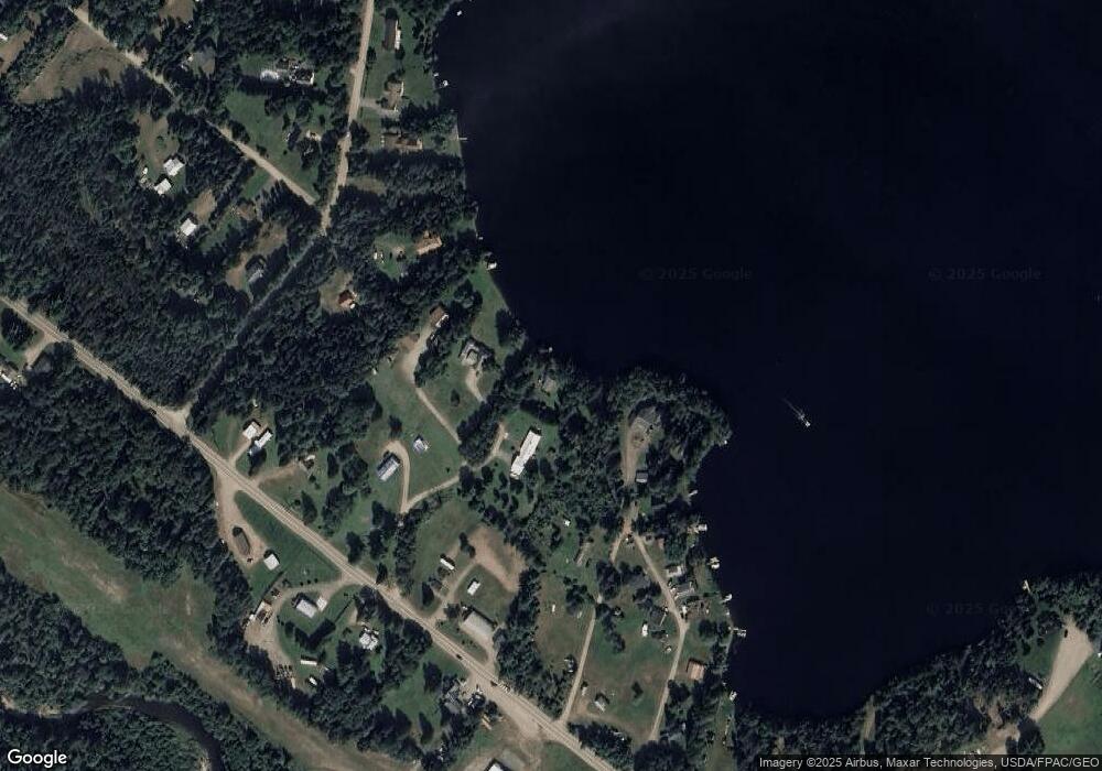
Map
Nearby Homes
- 101 Merit Dr
- 21 Pinitte Rd
- 00 Bragg Bay Unit 20
- 200 Berlin Rd
- 50 Hampshire Woods Loop
- 60 Deer Crossing Way
- 200A Berlin Rd
- 260 Berlin Rd
- 13 Lake Umbagog
- 00 Boise Cascade Rd Unit 1
- 87 Thistle St
- 240 Thistle St
- 0 Back St Unit 1644338
- 6 Jennings Rd
- 0 King's Hwy Unit 25
- 003A Thistle St
- Lot 1 & 2 Thistle St
- 461 Hill Rd
- 390 Hill Rd
- 0 Hawkins Rd Unit 63
- 69 Airport Loop
- Lot 51 Airport Loop
- 45 Airport Loop
- 50 Airport Loop
- 42 Airport Loop
- 54 Airport Loop
- 64 Airport Loop
- 37 Airport Loop
- 125 Airport Loop
- 112 Airport Loop
- 28 Airport Loop
- 98 Airport Loop
- 10 Airport Loop
- 124 Airport Loop
- 124 Airport Loop Unit Map 009 both lots 50
- 74 White Birch Ln
- 158 Airport Loop
- 15 Benjamin Dr
- 760 Colebrook Rd
- 813 Colebrook Rd
Your Personal Tour Guide
Ask me questions while you tour the home.