70 Airport Rd Stewart, TN 37175
Estimated Value: $94,000 - $153,000
2
Beds
1
Bath
995
Sq Ft
$118/Sq Ft
Est. Value
About This Home
This home is located at 70 Airport Rd, Stewart, TN 37175 and is currently estimated at $117,049, approximately $117 per square foot. 70 Airport Rd is a home located in Houston County.
Ownership History
Date
Name
Owned For
Owner Type
Purchase Details
Closed on
Feb 16, 2023
Sold by
Gant Billy J and Gant Kristain J
Bought by
Hall Frankie R
Current Estimated Value
Purchase Details
Closed on
Oct 19, 2022
Sold by
Gant Billy J and Gant Kristain Jo
Bought by
Brock Sandra L
Purchase Details
Closed on
Nov 13, 2019
Sold by
Goglia Vincent
Bought by
Goglia Vincent C and Goglia Sherry A
Purchase Details
Closed on
Dec 11, 2012
Sold by
Tollett Linda L
Bought by
Goglia Vincent
Purchase Details
Closed on
Jun 9, 2004
Bought by
Perry Robert L Jr Trustee
Purchase Details
Closed on
Jan 13, 1999
Bought by
Tollett Linda Hampton Andrew
Purchase Details
Closed on
Aug 19, 1991
Bought by
Mcgowan Enloe
Create a Home Valuation Report for This Property
The Home Valuation Report is an in-depth analysis detailing your home's value as well as a comparison with similar homes in the area
Home Values in the Area
Average Home Value in this Area
Purchase History
| Date | Buyer | Sale Price | Title Company |
|---|---|---|---|
| Hall Frankie R | $100,000 | -- | |
| Brock Sandra L | $26,000 | -- | |
| Goglia Vincent C | -- | -- | |
| Goglia Vincent | $9,800 | -- | |
| Perry Robert L Jr Trustee | -- | -- | |
| Tollett Linda Hampton Andrew | $15,000 | -- | |
| Mcgowan Enloe | $15,000 | -- |
Source: Public Records
Tax History Compared to Growth
Tax History
| Year | Tax Paid | Tax Assessment Tax Assessment Total Assessment is a certain percentage of the fair market value that is determined by local assessors to be the total taxable value of land and additions on the property. | Land | Improvement |
|---|---|---|---|---|
| 2024 | $319 | $17,925 | $2,900 | $15,025 |
| 2023 | $280 | $15,750 | $2,900 | $12,850 |
| 2022 | $256 | $9,150 | $2,000 | $7,150 |
| 2021 | $256 | $9,150 | $2,000 | $7,150 |
| 2020 | $231 | $9,150 | $2,000 | $7,150 |
| 2019 | $231 | $7,250 | $1,750 | $5,500 |
| 2018 | $231 | $7,250 | $1,750 | $5,500 |
| 2017 | $231 | $7,250 | $1,750 | $5,500 |
| 2016 | $231 | $7,250 | $1,750 | $5,500 |
| 2015 | $231 | $7,250 | $1,750 | $5,500 |
| 2014 | -- | $7,242 | $0 | $0 |
Source: Public Records
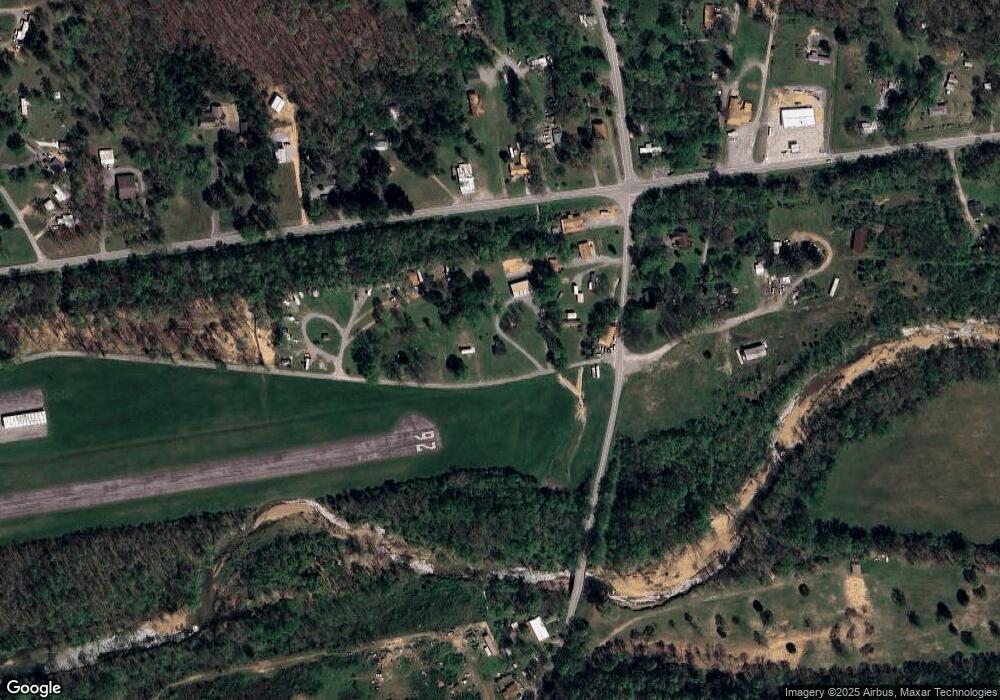
Map
Nearby Homes
- 0 Highway 232 Unit 25510404
- 35 Airport Ln
- 10120 Highway 147
- 85 Lakeview Ln
- 71 Overlook Ln
- 67 Overlook Ln
- 79 Overlook Ln
- 372 Cheree Loop
- 11175 Highway 147
- 943 Overlook Trail
- 8955 Tennessee 147
- 0 Rocky Point Rd Unit RTC2700425
- 0 Overlook Trail
- 0 Day Cemetery Ln
- 78 Vista Ridge Dr
- 0 Vista Ridge Dr
- 33 Vista Ridge Dr
- 1025 Vista Ridge Dr
- 27 Vista Ridge Dr
- 0 Lake Ridge Dr Unit RTC3017496
- 44 Airport Rd
- 90 Airport Rd
- 78 Airport Rd
- 110 Airport Rd
- 1A Airport Rd
- 10 Airport Rd
- 130 Airport Rd
- 40 White Oak Rd
- 10074 Highway 147
- 10074 Highway 147
- 140 Airport Rd
- 15 Airport Ln
- 31 White Oak Rd
- 30 Old Mathis Hollow Ln
- 0 Highway 232
- 0 W of Highway 232
- 0 Highway 232 Unit 128207
- 0 Highway 232 Unit RTC2448894
- 0 Highway 232 Unit 2142465
- 35 Airport Ln