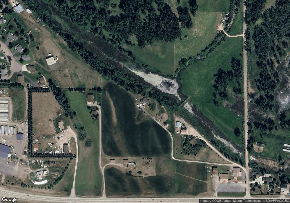
70 Amdahl Ln Kalispell, MT 59901
Estimated Value: $816,000 - $978,000
2
Beds
3
Baths
1,775
Sq Ft
$496/Sq Ft
Est. Value
About This Home
This home is located at 70 Amdahl Ln, Kalispell, MT 59901 and is currently estimated at $879,716, approximately $495 per square foot. 70 Amdahl Ln is a home located in Flathead County with nearby schools including Fair-Mont-Egan Elementary School, Fair-Mont-Egan Junior High School, and Flathead High School.
Ownership History
Date
Name
Owned For
Owner Type
Purchase Details
Closed on
Nov 25, 2024
Sold by
Larscheid Mary
Bought by
Hill David B and Hill Lynn M
Current Estimated Value
Purchase Details
Closed on
Jun 6, 2024
Sold by
Peterson Kenneth D and Peterson Polly A
Bought by
Mary T Larscheid Revocable Trust and Larscheid
Home Financials for this Owner
Home Financials are based on the most recent Mortgage that was taken out on this home.
Original Mortgage
$677,500
Interest Rate
7.22%
Mortgage Type
Seller Take Back
Create a Home Valuation Report for This Property
The Home Valuation Report is an in-depth analysis detailing your home's value as well as a comparison with similar homes in the area
Purchase History
| Date | Buyer | Sale Price | Title Company |
|---|---|---|---|
| Hill David B | -- | None Listed On Document | |
| Hill David B | -- | None Listed On Document | |
| Mary T Larscheid Revocable Trust | -- | Insured Titles |
Source: Public Records
Mortgage History
| Date | Status | Borrower | Loan Amount |
|---|---|---|---|
| Previous Owner | Mary T Larscheid Revocable Trust | $677,500 |
Source: Public Records
Tax History
| Year | Tax Paid | Tax Assessment Tax Assessment Total Assessment is a certain percentage of the fair market value that is determined by local assessors to be the total taxable value of land and additions on the property. | Land | Improvement |
|---|---|---|---|---|
| 2025 | $2,907 | $810,200 | $0 | $0 |
| 2024 | $3,705 | $692,700 | $0 | $0 |
| 2023 | $4,796 | $692,700 | $0 | $0 |
| 2022 | $3,169 | $448,900 | $0 | $0 |
| 2021 | $3,440 | $448,900 | $0 | $0 |
| 2020 | $2,997 | $378,700 | $0 | $0 |
| 2019 | $2,898 | $378,700 | $0 | $0 |
| 2018 | $2,748 | $338,800 | $0 | $0 |
| 2017 | $2,767 | $338,800 | $0 | $0 |
| 2016 | $1,249 | $314,900 | $0 | $0 |
| 2015 | $2,564 | $314,900 | $0 | $0 |
| 2014 | $2,783 | $206,700 | $0 | $0 |
Source: Public Records
Map
Nearby Homes
- 215 Fairmont Rd
- Lot 24 Holbrook Estates
- 342 Scarface Peak Dr
- 317 Scarface Peak Dr
- Lot 20 Holbrook Estates
- 220 Holbrook Dr
- 29 S Scarface Peak Ct
- 28 S Scarface Peak Ct
- 335 Scarface Peak Dr
- 212 Holbrook Dr
- 236 Holbrook Dr
- 159 Holbrook Dr
- 20 S Scarface Peak Ct
- Lot 11 Holbrook Estates
- 11 N Scarface Peak Ct
- 175 Holbrook Dr
- 183 Holbrook Dr
- 189 Holbrook Dr
- Nhn Patrick Creek Rd
- 25 S Scarface Peak Ct
- 2221 Mt Highway 35
- 2315 Mt Highway 35
- 2315 Mt Highway 35
- 2211 Mt Highway 35
- 173 Swan Ridge Ct
- 2387 Mt Highway 35
- 149 Swan Ridge Ct
- 161 Swan Ridge Ct
- 137 Swan Ridge Ct
- 37 Amdahl Ln
- 156 Swan Ridge Ct
- 2320 Montana Highway 35
- 124 Swan Ridge Ct
- 2320 Montana 35
- 2320 Montana 35
- 2320 Montana 35
- 31 Panoramic Dr
- 2320 Mt Highway 35
- Nhn Homestead Rd
- 113 Swan Ridge Ct
Your Personal Tour Guide
Ask me questions while you tour the home.
