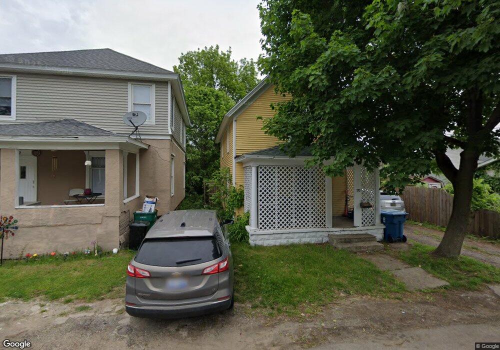
70 Baker Ct Battle Creek, MI 49037
Central Battle Creek NeighborhoodEstimated Value: $73,495 - $109,000
2
Beds
1
Bath
1,002
Sq Ft
$87/Sq Ft
Est. Value
About This Home
This home is located at 70 Baker Ct, Battle Creek, MI 49037 and is currently estimated at $87,374, approximately $87 per square foot. 70 Baker Ct is a home located in Calhoun County with nearby schools including Ann J. Kellogg School, Springfield Middle School, and Battle Creek Central High School.
Ownership History
Date
Name
Owned For
Owner Type
Purchase Details
Closed on
Jul 13, 2021
Sold by
Rugg Lloyd O C
Bought by
Moka Blue Llc
Current Estimated Value
Purchase Details
Closed on
May 7, 2021
Sold by
Frazier Gary and Frazier Monica
Bought by
Moka Blue Llc
Purchase Details
Closed on
Oct 6, 2020
Sold by
Calhoun County Treasurer
Bought by
Moka Blue Llc
Purchase Details
Closed on
Sep 23, 2002
Bought by
Frazier Gary and Frazier Monica
Purchase Details
Closed on
Jul 30, 2002
Sold by
Notice Judgement Foreclosure
Bought by
State Of Michigan
Create a Home Valuation Report for This Property
The Home Valuation Report is an in-depth analysis detailing your home's value as well as a comparison with similar homes in the area
Home Values in the Area
Average Home Value in this Area
Purchase History
| Date | Buyer | Sale Price | Title Company |
|---|---|---|---|
| Moka Blue Llc | -- | None Available | |
| Moka Blue Llc | -- | None Available | |
| Moka Blue Llc | $7,700 | None Available | |
| Frazier Gary | $14,100 | -- | |
| State Of Michigan | -- | -- |
Source: Public Records
Tax History Compared to Growth
Tax History
| Year | Tax Paid | Tax Assessment Tax Assessment Total Assessment is a certain percentage of the fair market value that is determined by local assessors to be the total taxable value of land and additions on the property. | Land | Improvement |
|---|---|---|---|---|
| 2025 | -- | $23,400 | $0 | $0 |
| 2024 | $694 | $19,551 | $0 | $0 |
| 2023 | $884 | $18,820 | $0 | $0 |
| 2022 | $628 | $14,128 | $0 | $0 |
| 2021 | $840 | $12,938 | $0 | $0 |
| 2020 | $1,163 | $13,669 | $0 | $0 |
| 2019 | $1,163 | $10,383 | $0 | $0 |
| 2018 | $1,163 | $10,484 | $301 | $10,183 |
| 2017 | $1,538 | $11,937 | $0 | $0 |
| 2016 | $1,568 | $13,636 | $0 | $0 |
| 2015 | $1,040 | $15,215 | $1,146 | $14,069 |
| 2014 | $1,040 | $16,193 | $1,146 | $15,047 |
Source: Public Records
Map
Nearby Homes
- 66 Cleveland St
- 17 Tennyson Ave
- 96 Battle Creek Ave
- 57 Boulder St
- 21 Spring St
- 171 Goguac St W
- 210 Battle Creek Ave
- 71 Burnham St W
- 35 Eldred St
- 212 Goguac St W
- 180 Upton Ave
- 30 Harris St
- 296 Meachem Ave
- 178 Webber St
- 111 Burnham St W
- 39 Harris St
- 207 Upton Ave Unit V/L
- 211 Upton Ave Unit V/L
- 131 Spring St
- 51 Pauline Ave