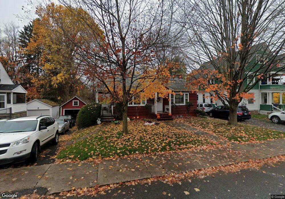
70 Blake St Torrington, CT 06790
Estimated Value: $224,856 - $248,000
2
Beds
1
Bath
896
Sq Ft
$260/Sq Ft
Est. Value
About This Home
This home is located at 70 Blake St, Torrington, CT 06790 and is currently estimated at $232,714, approximately $259 per square foot. 70 Blake St is a home located in Litchfield County with nearby schools including Torrington Middle School, Torrington High School, and St. Peter School.
Ownership History
Date
Name
Owned For
Owner Type
Purchase Details
Closed on
Jun 16, 2010
Sold by
Smalley Charles Allen
Bought by
Shewchuk Derek D and Poole Tami L
Current Estimated Value
Home Financials for this Owner
Home Financials are based on the most recent Mortgage that was taken out on this home.
Original Mortgage
$118,400
Outstanding Balance
$75,972
Interest Rate
4.12%
Mortgage Type
FHA
Estimated Equity
$156,742
Create a Home Valuation Report for This Property
The Home Valuation Report is an in-depth analysis detailing your home's value as well as a comparison with similar homes in the area
Home Values in the Area
Average Home Value in this Area
Purchase History
| Date | Buyer | Sale Price | Title Company |
|---|---|---|---|
| Shewchuk Derek D | $120,000 | -- |
Source: Public Records
Mortgage History
| Date | Status | Borrower | Loan Amount |
|---|---|---|---|
| Open | Shewchuk Derek D | $118,400 | |
| Closed | Shewchuk Derek D | $10,900 | |
| Previous Owner | Shewchuk Derek D | $30,000 |
Source: Public Records
Tax History
| Year | Tax Paid | Tax Assessment Tax Assessment Total Assessment is a certain percentage of the fair market value that is determined by local assessors to be the total taxable value of land and additions on the property. | Land | Improvement |
|---|---|---|---|---|
| 2025 | $4,678 | $121,660 | $23,800 | $97,860 |
| 2024 | $3,393 | $70,740 | $23,770 | $46,970 |
| 2023 | $3,393 | $70,740 | $23,770 | $46,970 |
| 2022 | $3,335 | $70,740 | $23,770 | $46,970 |
| 2021 | $3,266 | $70,740 | $23,770 | $46,970 |
| 2020 | $3,266 | $70,740 | $23,770 | $46,970 |
| 2019 | $3,319 | $71,890 | $29,200 | $42,690 |
| 2018 | $3,319 | $71,890 | $29,200 | $42,690 |
| 2017 | $3,289 | $71,890 | $29,200 | $42,690 |
| 2016 | $3,289 | $71,890 | $29,200 | $42,690 |
| 2015 | $3,289 | $71,890 | $29,200 | $42,690 |
| 2014 | $3,629 | $99,920 | $44,280 | $55,640 |
Source: Public Records
Map
Nearby Homes
- 86 Belleview Ave
- 75 Maple St
- 199 Mckinley St
- 64 Cooper St
- 72 French St
- 68 Wilson Ave Unit 105
- 364 Park Ave
- 390 Park Ave
- 231 Beechwood Ave
- 108 Culvert St
- 30 Culvert St
- 163 Beechwood Ave
- 116 High St
- 398 Funston Ave
- 146 Beechwood Ave
- 336 Oak Ave
- 115 Beechwood Ave
- 80 Washington Ave
- 00 Church St
- 329 Church St
Your Personal Tour Guide
Ask me questions while you tour the home.