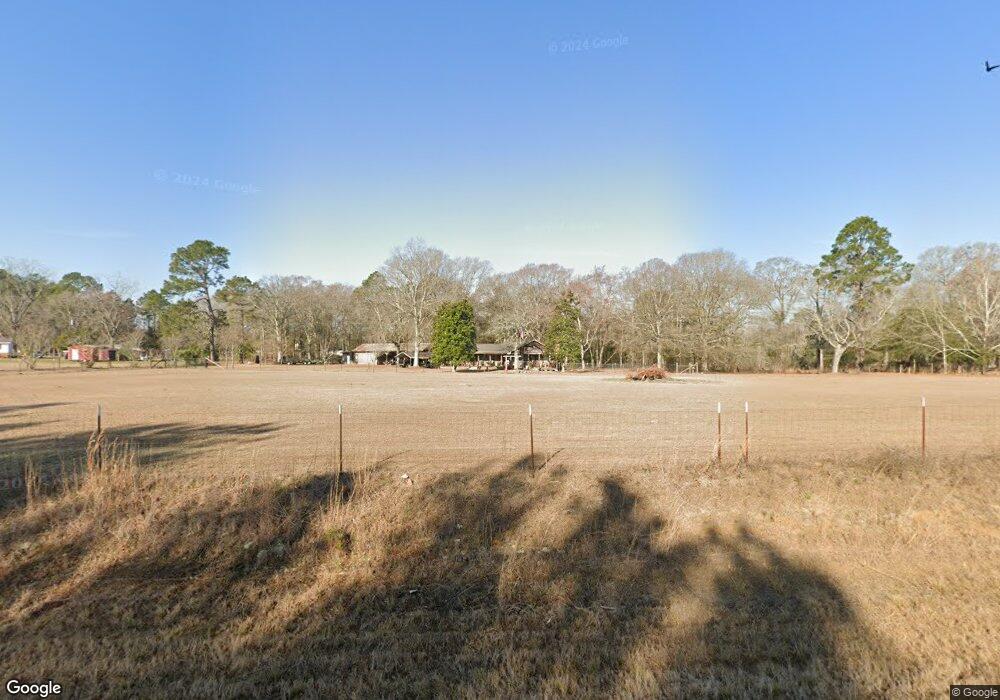
70 Blankenship Rd Mc Rae, GA 31055
Estimated Value: $130,000 - $292,000
3
Beds
2
Baths
1,768
Sq Ft
$107/Sq Ft
Est. Value
About This Home
This home is located at 70 Blankenship Rd, Mc Rae, GA 31055 and is currently estimated at $189,793, approximately $107 per square foot. 70 Blankenship Rd is a home located in Telfair County with nearby schools including Telfair County Elementary School, Telfair County Middle School, and Telfair County High School.
Ownership History
Date
Name
Owned For
Owner Type
Purchase Details
Closed on
Apr 4, 2014
Sold by
Purvis V Curtis
Bought by
Kiltz Steve and Kiltz Sherry
Current Estimated Value
Purchase Details
Closed on
Sep 6, 2006
Sold by
Blencowe Michael R
Bought by
Purvis Curtis V and Purvis Angela D
Purchase Details
Closed on
Jul 8, 2004
Sold by
Applegate Ancil
Bought by
Blencowe Michael R and Blencowe Audrey A
Purchase Details
Closed on
Mar 4, 2003
Sold by
Secretary Of Housing
Bought by
Applegate Ancil
Purchase Details
Closed on
Apr 2, 2002
Sold by
Regions Mortgage Inc
Bought by
Secretary Of Housing
Purchase Details
Closed on
Feb 10, 1994
Bought by
Mcgee Jesse R and Mcgee Bett
Create a Home Valuation Report for This Property
The Home Valuation Report is an in-depth analysis detailing your home's value as well as a comparison with similar homes in the area
Home Values in the Area
Average Home Value in this Area
Purchase History
| Date | Buyer | Sale Price | Title Company |
|---|---|---|---|
| Kiltz Steve | $62,500 | -- | |
| Purvis Curtis V | $47,500 | -- | |
| Blencowe Michael R | $37,000 | -- | |
| Applegate Ancil | $39,000 | -- | |
| Secretary Of Housing | $44,900 | -- | |
| Regions Mortgage Inc | $44,900 | -- | |
| Mcgee Jesse R | $47,000 | -- |
Source: Public Records
Tax History
| Year | Tax Paid | Tax Assessment Tax Assessment Total Assessment is a certain percentage of the fair market value that is determined by local assessors to be the total taxable value of land and additions on the property. | Land | Improvement |
|---|---|---|---|---|
| 2025 | $1,148 | $49,348 | $7,570 | $41,778 |
| 2024 | $1,165 | $45,960 | $7,570 | $38,390 |
| 2023 | $1,104 | $43,905 | $7,209 | $36,696 |
| 2022 | $1,104 | $43,905 | $7,209 | $36,696 |
| 2021 | $785 | $32,003 | $7,209 | $24,794 |
| 2020 | $692 | $28,674 | $7,209 | $21,465 |
| 2019 | $669 | $27,846 | $7,209 | $20,637 |
| 2018 | $782 | $24,318 | $3,681 | $20,637 |
| 2017 | $615 | $26,212 | $5,306 | $20,906 |
| 2016 | $615 | $26,213 | $5,306 | $20,906 |
| 2015 | -- | $26,213 | $5,306 | $20,906 |
| 2014 | -- | $23,028 | $5,177 | $17,851 |
| 2013 | -- | $23,028 | $5,177 | $17,850 |
Source: Public Records
Map
Nearby Homes
- 95 W Willow Creek Ln
- 117 Fifth Ave
- 177 W Brewton St
- 61 W Bruce St
- 136 S Third Ave
- 0 Walnut St Unit 27065313
- 141 S First Ave
- 17 2nd St
- 210 W Graham St
- 20 AC Hope Church & Rt 149
- 78 S Second Ave
- 131 Huckabee St
- 27 E Bruce St
- 39 W Graham St
- 85 E Brewton St
- 0 Bonaire St Unit 10647239
- 0 Bonaire St Unit 23852
- 53 Bonaire Extension
- Lot 126 Pansy Ln
- 26 S Sixth Ave
- 86 Blankenship Rd
- 73 Blankenship Rd
- 30 Blankenship Rd
- 96 Blankenship Rd
- 58 McRae Milan Rd
- 88 Blankenship Rd
- 33 Blankenship Rd
- 51 McRae Milan Rd
- 18 McRae Milan Rd
- 56 Cannon Ln
- 27 McRae Milan Rd
- 96 Temperance Rd
- 61 Cannon Ln
- 0 Hwy 132 Unit 7386712
- 0 Hwy 132 Unit 7482983
- 96 McRae Milan Rd
- 280 W Highway
- 142 U S Highway 280
- 122 Temperance Rd
- 142 U S 280
Your Personal Tour Guide
Ask me questions while you tour the home.