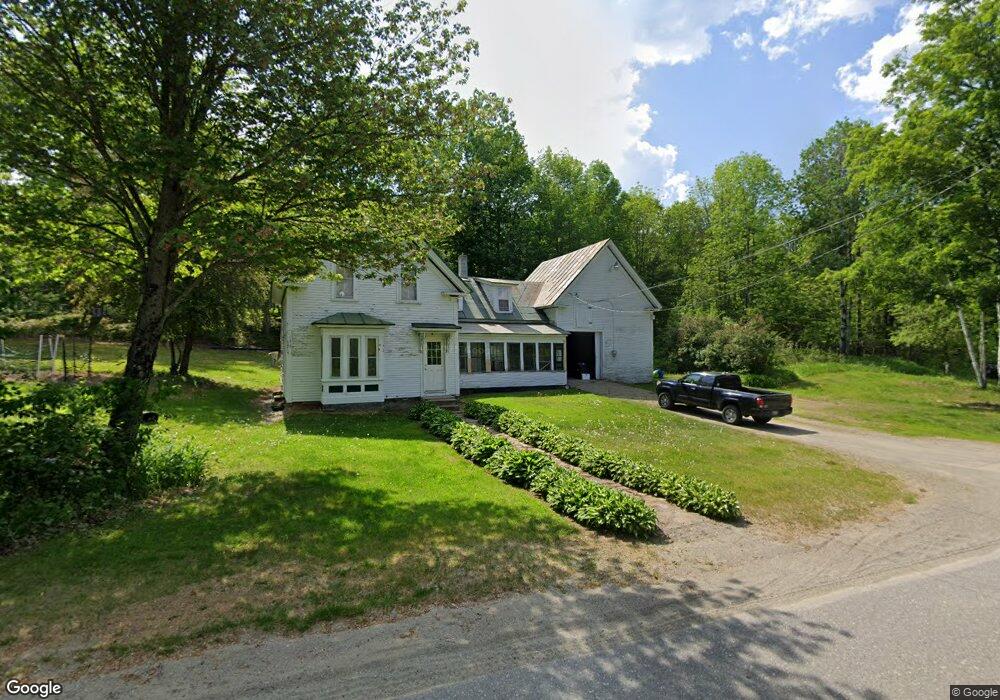
70 Bridge St Phillips, ME 04966
Estimated Value: $124,013 - $235,000
Studio
--
Bath
1,089
Sq Ft
$171/Sq Ft
Est. Value
About This Home
This home is located at 70 Bridge St, Phillips, ME 04966 and is currently estimated at $186,253, approximately $171 per square foot. 70 Bridge St is a home with nearby schools including Mt. Abram Regional High School.
Create a Home Valuation Report for This Property
The Home Valuation Report is an in-depth analysis detailing your home's value as well as a comparison with similar homes in the area
Tax History
| Year | Tax Paid | Tax Assessment Tax Assessment Total Assessment is a certain percentage of the fair market value that is determined by local assessors to be the total taxable value of land and additions on the property. | Land | Improvement |
|---|---|---|---|---|
| 2024 | $1,668 | $74,820 | $14,900 | $59,920 |
| 2023 | $1,437 | $74,820 | $14,900 | $59,920 |
| 2022 | $1,444 | $74,820 | $14,900 | $59,920 |
| 2021 | $1,534 | $74,820 | $14,900 | $59,920 |
| 2020 | $1,639 | $74,820 | $14,900 | $59,920 |
| 2019 | $0 | $74,795 | $14,875 | $59,920 |
| 2018 | $0 | $74,795 | $14,875 | $59,920 |
| 2017 | $1,623 | $74,795 | $14,875 | $59,920 |
| 2016 | $0 | $74,795 | $14,875 | $59,920 |
| 2015 | $1,616 | $74,795 | $14,875 | $59,920 |
| 2013 | $1,556 | $74,795 | $14,875 | $59,920 |
Source: Public Records
Map
Nearby Homes
- 150 River
- 372 River Rd
- 1594 Rangeley Rd
- 353 Salem Rd
- Lot #4 Woods Rd
- Lot 45 Tory Hill Rd
- 77 Toothaker Pond Rd
- MR11 L35 Burbank Hill Rd
- Map 5 Lot 26 & 26 1 Bray Hill Rd
- 4 Cousineaus Tory Hill Heights
- 15 Stevens Rd
- 138 Bray Hill Rd
- 43 Brookside Ln
- 162.7 Collins Dr
- 233 Weld Rd
- R6L9 Dickey Mills Rd
- 22 W Freeman Rd
- 467 E Madrid Rd
- Lot #4 Mooseley Ridge Rd
- 74 Lovejoy Rd
Your Personal Tour Guide
Ask me questions while you tour the home.