70 Bridgetwin Rd Ellsworth, ME 04605
Estimated Value: $333,046 - $371,000
3
Beds
2
Baths
1,144
Sq Ft
$311/Sq Ft
Est. Value
About This Home
This home is located at 70 Bridgetwin Rd, Ellsworth, ME 04605 and is currently estimated at $355,262, approximately $310 per square foot. 70 Bridgetwin Rd is a home with nearby schools including Sumner Memorial High School.
Ownership History
Date
Name
Owned For
Owner Type
Purchase Details
Closed on
Jul 9, 2007
Sold by
Bridgetwin Llc
Bought by
Philbrook Alan
Current Estimated Value
Home Financials for this Owner
Home Financials are based on the most recent Mortgage that was taken out on this home.
Original Mortgage
$159,300
Interest Rate
6.39%
Mortgage Type
Unknown
Create a Home Valuation Report for This Property
The Home Valuation Report is an in-depth analysis detailing your home's value as well as a comparison with similar homes in the area
Purchase History
| Date | Buyer | Sale Price | Title Company |
|---|---|---|---|
| Philbrook Alan | -- | -- |
Source: Public Records
Mortgage History
| Date | Status | Borrower | Loan Amount |
|---|---|---|---|
| Open | Philbrook Alan | $160,000 | |
| Closed | Philbrook Alan | $159,300 | |
| Closed | Philbrook Alan | $0 |
Source: Public Records
Tax History
| Year | Tax Paid | Tax Assessment Tax Assessment Total Assessment is a certain percentage of the fair market value that is determined by local assessors to be the total taxable value of land and additions on the property. | Land | Improvement |
|---|---|---|---|---|
| 2024 | $4,228 | $242,280 | $35,040 | $207,240 |
| 2023 | $3,575 | $206,655 | $33,580 | $173,075 |
| 2022 | $3,244 | $206,655 | $33,580 | $173,075 |
| 2021 | $3,013 | $167,100 | $29,200 | $137,900 |
| 2020 | $3,136 | $167,100 | $29,200 | $137,900 |
| 2019 | $3,121 | $165,900 | $29,200 | $136,700 |
| 2018 | $3,026 | $165,900 | $29,200 | $136,700 |
| 2017 | $2,958 | $164,600 | $29,200 | $135,400 |
| 2016 | $2,910 | $164,600 | $29,200 | $135,400 |
| 2015 | $2,913 | $164,600 | $29,200 | $135,400 |
| 2014 | $2,708 | $164,600 | $29,200 | $135,400 |
| 2012 | $2,543 | $164,600 | $29,200 | $135,400 |
Source: Public Records
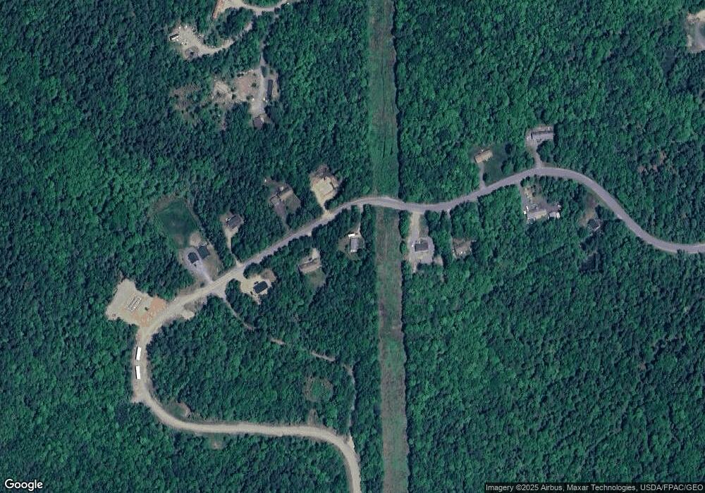
Map
Nearby Homes
- 254 Mariaville Rd
- 278 Mariaville Rd
- 1 Eagle Island
- 34 Eagle Rd
- 220 Boggy Brook Rd
- 0 Boggy Brook Rd Unit 1619468
- 0 Nevells Way
- 428 Bangor Rd
- 547 Mariaville Rd
- 0 Bangor Rd
- 667 Bangor Rd
- 37 Sennett Way
- 66 North St
- 167 Lakes Ln
- 498 Bangor Rd
- Lot #13-1 Shore Rd
- 27 Pigeon Rd
- Lot 9 Foggy Ridge Way
- Lot 5 Foggy Ridge Way
- 1159 Bangor Rd
- 78 Bridgetwin Rd
- 62 Bridgetwin Rd
- 88 Bridgetwin Rd
- 87 Bridgetwin Rd
- 79 Bridgetwin Rd
- 95 Bridgetwin Rd
- 51 Bridgetwin Rd
- 42 Bridgetwin Rd
- 41 Bridgetwin Rd
- 24 Bridgetwin Rd
- 91 Whitmore Way
- 54 Whitmore Way
- 2 Mitchell Way
- 14 Bridgetwin Way
- 0 Whitmore Rd
- 10 Bridgetwin Rd
- 8 Boyntons Way
- 29 Whitmore Way
- 266 Mariaville Rd
- 45 Whitmore Way
Your Personal Tour Guide
Ask me questions while you tour the home.