70 Brookfield Rd Fiskdale, MA 01518
Estimated Value: $503,000 - $776,000
4
Beds
3
Baths
3,188
Sq Ft
$197/Sq Ft
Est. Value
About This Home
This home is located at 70 Brookfield Rd, Fiskdale, MA 01518 and is currently estimated at $628,406, approximately $197 per square foot. 70 Brookfield Rd is a home with nearby schools including Burgess Elementary School, Tantasqua Regional Junior High School, and Tantasqua Regional High School.
Ownership History
Date
Name
Owned For
Owner Type
Purchase Details
Closed on
Oct 8, 2024
Sold by
Hoenig Michael B and Hoenig Donna
Bought by
Stanley Ryan A and Stanley Shannon
Current Estimated Value
Purchase Details
Closed on
Dec 28, 2021
Sold by
Hoenig Thomas P and Hoenig Cheryl L
Bought by
Stanley Ryan A and Stanley David M
Purchase Details
Closed on
Mar 26, 2004
Sold by
Hoenig Jean S
Bought by
Hoenig Cheryl L and Hoenig Thomas P
Purchase Details
Closed on
Jan 7, 1991
Sold by
Rinaldi Michael A
Bought by
Bancplus Mortgage Co
Create a Home Valuation Report for This Property
The Home Valuation Report is an in-depth analysis detailing your home's value as well as a comparison with similar homes in the area
Home Values in the Area
Average Home Value in this Area
Purchase History
| Date | Buyer | Sale Price | Title Company |
|---|---|---|---|
| Stanley Ryan A | -- | None Available | |
| Stanley Ryan A | -- | None Available | |
| Stanley Ryan A | $200,000 | None Available | |
| Stanley Ryan A | $200,000 | None Available | |
| Hoenig Cheryl L | -- | -- | |
| Bancplus Mortgage Co | $81,501 | -- | |
| Hoenig Cheryl L | -- | -- | |
| Bancplus Mortgage Co | $81,501 | -- |
Source: Public Records
Tax History Compared to Growth
Tax History
| Year | Tax Paid | Tax Assessment Tax Assessment Total Assessment is a certain percentage of the fair market value that is determined by local assessors to be the total taxable value of land and additions on the property. | Land | Improvement |
|---|---|---|---|---|
| 2025 | $6,417 | $402,800 | $94,900 | $307,900 |
| 2024 | $3,214 | $194,900 | $93,000 | $101,900 |
| 2023 | $5,650 | $312,700 | $82,100 | $230,600 |
| 2022 | $5,450 | $284,600 | $75,100 | $209,500 |
| 2021 | $4,985 | $262,100 | $72,100 | $190,000 |
| 2020 | $4,985 | $262,100 | $72,100 | $190,000 |
| 2019 | $4,772 | $249,200 | $73,800 | $175,400 |
| 2018 | $4,786 | $246,200 | $70,700 | $175,500 |
| 2017 | $4,569 | $235,500 | $68,600 | $166,900 |
| 2016 | $4,384 | $228,200 | $66,800 | $161,400 |
| 2015 | $4,325 | $224,800 | $66,800 | $158,000 |
Source: Public Records
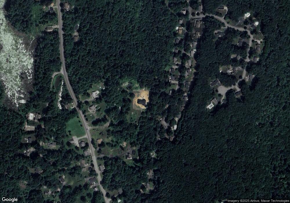
Map
Nearby Homes
- 537 Main St
- 5 Hinman St Unit 4
- 504 Main St
- 16 Summit Ave
- 7 Crescent Way Unit 105
- 7 Crescent Way Unit 315
- 314 The Trail
- 87 Holland Rd
- 26 Cedar Lake Dr
- 6 Cedar Pond Dr
- 51-A Seneca Ln
- 146-A Cedar St
- 368 Main St
- 43 Mountain Brook Rd
- 50 Beach Ave
- 73 New Boston Rd
- 54 Little Alum Rd
- 0 Five Bridge Rd
- 9 Haynes St
- 7 Haynes St